1096 Dozier Mallett Rd Manning, SC 29102
Estimated Value: $111,000 - $271,000
--
Bed
--
Bath
1,222
Sq Ft
$135/Sq Ft
Est. Value
About This Home
This home is located at 1096 Dozier Mallett Rd, Manning, SC 29102 and is currently estimated at $165,462, approximately $135 per square foot. 1096 Dozier Mallett Rd is a home with nearby schools including Manning Early Childhood Center, Manning Primary School, and Manning Elementary School.
Ownership History
Date
Name
Owned For
Owner Type
Purchase Details
Closed on
May 13, 2014
Sold by
Vincent Wllerby Daryl W and Vincent Wllerby
Bought by
Ellerby Andre
Current Estimated Value
Purchase Details
Closed on
Apr 27, 2009
Sold by
Mallett Edward E
Bought by
Ellerby Darrly W and Ellerby Vincent W
Purchase Details
Closed on
Nov 12, 2008
Sold by
Estate Of Willie Elizabeth Mallett Conye
Bought by
Ellerby Darryl W and Ellerby Vincent W
Purchase Details
Closed on
Apr 11, 2008
Sold by
Ellerby William Mitchell
Bought by
Ellerby Sarah M
Create a Home Valuation Report for This Property
The Home Valuation Report is an in-depth analysis detailing your home's value as well as a comparison with similar homes in the area
Home Values in the Area
Average Home Value in this Area
Purchase History
| Date | Buyer | Sale Price | Title Company |
|---|---|---|---|
| Ellerby Andre | -- | None Available | |
| Ellerby Darrly W | -- | None Available | |
| Ellerby Darryl W | -- | None Available | |
| Ellerby Sarah M | -- | None Available | |
| Ellerby William Mitchell | -- | None Available |
Source: Public Records
Tax History Compared to Growth
Tax History
| Year | Tax Paid | Tax Assessment Tax Assessment Total Assessment is a certain percentage of the fair market value that is determined by local assessors to be the total taxable value of land and additions on the property. | Land | Improvement |
|---|---|---|---|---|
| 2024 | $2,130 | $5,286 | $1,068 | $4,218 |
| 2023 | $2,075 | $5,286 | $1,068 | $4,218 |
| 2022 | $2,055 | $5,286 | $1,068 | $4,218 |
| 2021 | $1,599 | $4,596 | $540 | $4,056 |
| 2020 | $1,599 | $4,596 | $0 | $0 |
| 2019 | $1,531 | $4,596 | $0 | $0 |
| 2018 | $1,474 | $4,596 | $0 | $0 |
| 2017 | $1,469 | $4,602 | $0 | $0 |
| 2016 | $1,445 | $4,602 | $0 | $0 |
| 2015 | $1,453 | $4,692 | $540 | $4,152 |
| 2014 | $1,431 | $4,692 | $540 | $4,152 |
| 2013 | -- | $4,692 | $540 | $4,152 |
Source: Public Records
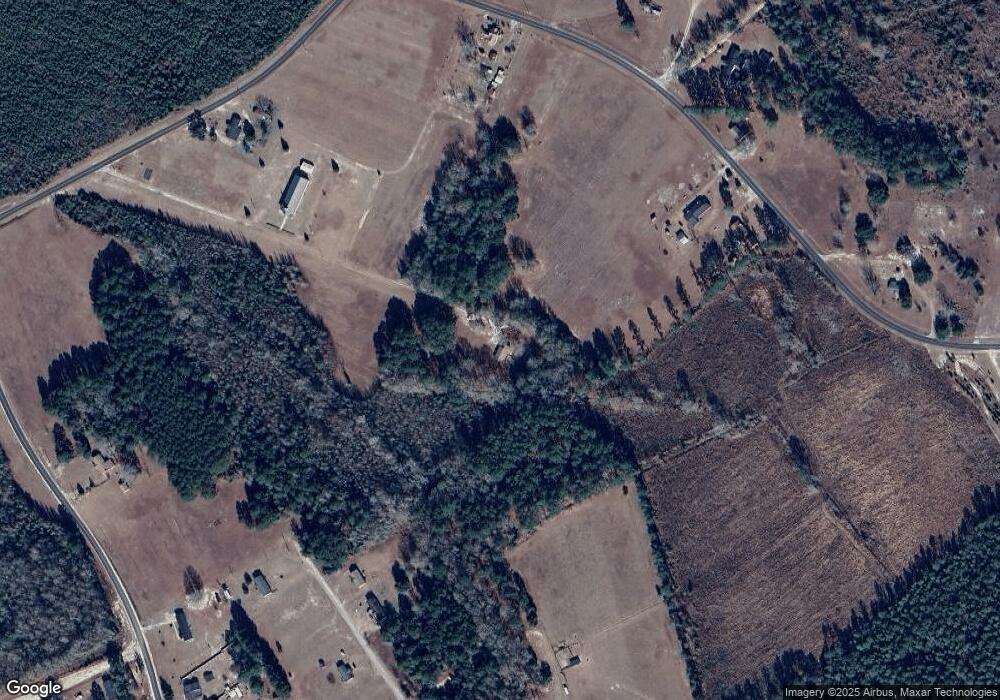
Map
Nearby Homes
- 2885 Mallett Rd
- 1158 Dewitt St
- 1252 Hoffman Dr Unit Lot D
- 1252 Hoffman Dr Unit Lot C
- 1252 Hoffman Dr
- 1060 Hideout Dr
- 2161 Bloomville Rd Unit Lot B
- 2147 Bloomville Rd Unit Lot A
- 1153 Cherokee Dr
- 1052 Mulligan Dr
- 1130 Mulligan Dr
- 1064 Mulligan Dr
- 1100 Mulligan Dr
- 1092 Mulligan Dr
- 1162 Mulligan Dr
- CALI Plan at Huggins Hill
- BELHAVEN Plan at Huggins Hill
- GLENWOOD Plan at Huggins Hill
- ELSTON Plan at Huggins Hill
- BRANDON Plan at Huggins Hill
- 1588 Dozier Mallett Rd
- 1610 Dozier Mallett Rd
- 1390 Dozier Mallett Rd
- 1559 Dozier Mallett Rd
- 1032 Pruitt Ln
- 1182 Dozier Mallett Rd
- 1467 Yellow Bank Ln
- 1901 Mallett Rd
- 1108 Sonnet Dr
- 1420 Yellow Bank Ln
- 2059 Mallett Rd
- 2109 Mallett Rd
- 2062 Mallett Rd
- 2197 Mallett Rd
- 2088 Mallett Rd
- 2167 Mallett Rd
- 1826 Mallett Rd
- 1815 Dozier Mallett Rd
- 2102 Mallett Rd
- 2233 Mallett Rd