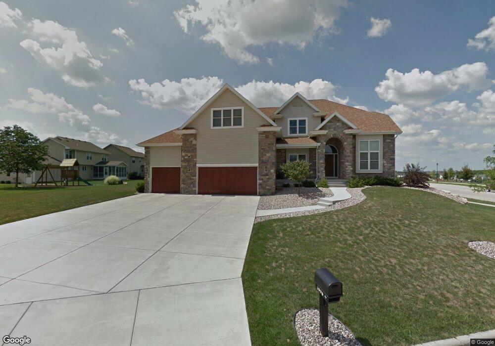
1096 Duncannon Way Sun Prairie, WI 53590
Westwynde NeighborhoodEstimated Value: $651,660 - $711,000
4
Beds
3
Baths
2,007
Sq Ft
$343/Sq Ft
Est. Value
About This Home
This home is located at 1096 Duncannon Way, Sun Prairie, WI 53590 and is currently estimated at $689,165, approximately $343 per square foot. 1096 Duncannon Way is a home located in Dane County with nearby schools including Royal Oaks Elementary School, Prairie View Middle School, and Peace Lutheran School & Prekindergarten.
Ownership History
Date
Name
Owned For
Owner Type
Purchase Details
Closed on
Oct 27, 2008
Sold by
Bourne Development Llc
Bought by
Kumapayi Raymond A and Kumapayi Olubunmi B
Current Estimated Value
Home Financials for this Owner
Home Financials are based on the most recent Mortgage that was taken out on this home.
Original Mortgage
$360,000
Outstanding Balance
$232,188
Interest Rate
5.73%
Mortgage Type
Purchase Money Mortgage
Estimated Equity
$456,977
Create a Home Valuation Report for This Property
The Home Valuation Report is an in-depth analysis detailing your home's value as well as a comparison with similar homes in the area
Home Values in the Area
Average Home Value in this Area
Purchase History
| Date | Buyer | Sale Price | Title Company |
|---|---|---|---|
| Kumapayi Raymond A | $94,000 | None Available |
Source: Public Records
Mortgage History
| Date | Status | Borrower | Loan Amount |
|---|---|---|---|
| Open | Kumapayi Raymond A | $360,000 |
Source: Public Records
Tax History Compared to Growth
Tax History
| Year | Tax Paid | Tax Assessment Tax Assessment Total Assessment is a certain percentage of the fair market value that is determined by local assessors to be the total taxable value of land and additions on the property. | Land | Improvement |
|---|---|---|---|---|
| 2024 | $10,420 | $547,800 | $92,500 | $455,300 |
| 2023 | $9,480 | $547,800 | $92,500 | $455,300 |
| 2021 | $9,286 | $439,000 | $84,500 | $354,500 |
| 2020 | $9,471 | $439,000 | $84,500 | $354,500 |
| 2019 | $10,169 | $417,100 | $76,800 | $340,300 |
| 2018 | $9,390 | $417,100 | $76,800 | $340,300 |
| 2017 | $8,984 | $417,100 | $76,800 | $340,300 |
| 2016 | $8,734 | $367,200 | $69,900 | $297,300 |
| 2015 | $8,479 | $367,200 | $69,900 | $297,300 |
| 2014 | $8,582 | $362,900 | $69,900 | $293,000 |
| 2013 | $8,709 | $362,900 | $69,900 | $293,000 |
Source: Public Records
Map
Nearby Homes
- 1869 Saint Albert the Great Dr
- 1822 Cobblestone Ct
- 1824 Chadsworth Dr
- 1847 Windemere Ct
- 1801 Frawley Dr
- 2272 Effingham Way
- 1792 Frawley Dr
- 643 Eddington Dr
- 1234 Kerry Dr
- 960 Bruce St
- 2367 Effingham Way Unit 2367
- 2391 Effingham Way Unit 2391
- 1841 Waverly Way
- 1833 Waverly Way
- 2260 Lonnie Ln
- 2316 Lonnie Ln
- 1767 Waverly Way
- 1759 Waverly Way
- 1406 Greenleaf Ct
- 1500 Calico Ln
- 2017 Saint Albert the Great Dr
- 2031 Saint Albert the Great Dr
- 2022 Lynwood Dr
- 2048 Lynwood Dr
- 1981 St Albert the Great Dr
- 2064 Lynwood Dr
- 1981 Saint Albert the Great Dr
- 2055 St Albert the Great Dr
- 2055 Saint Albert the Great Dr
- 1071 Duncannon Way
- 2086 Lynwood Dr
- 2073 Saint Albert the Great Dr
- 2073 St Albert the Great Dr
- 2039 Lynwood Dr
- 1045 Duncannon Way
- 1022 Duncannon Way
- 2063 Lynwood Dr
- 898 Eddington Dr
- 2110 Lynwood Dr
- 910 Eddington Dr