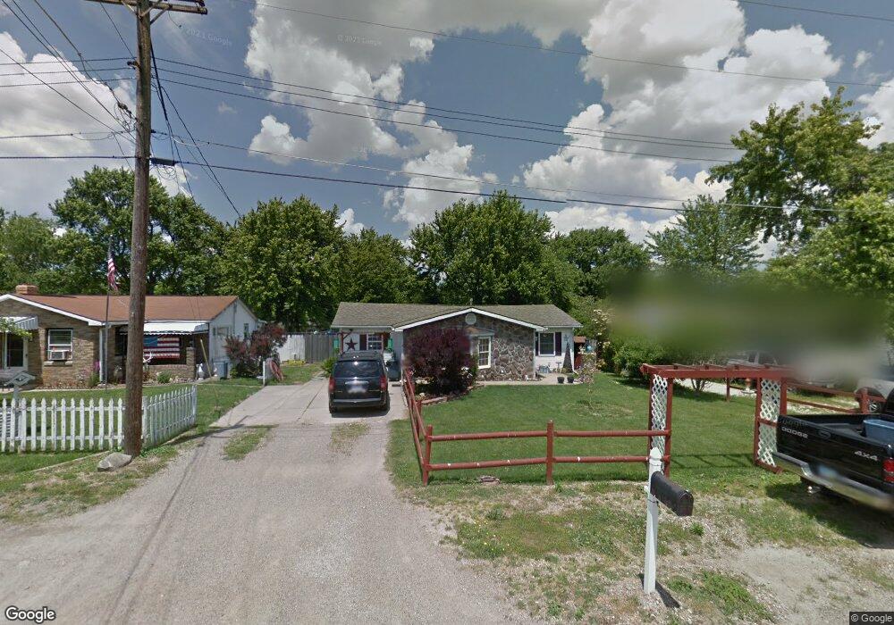
1096 Pat Ln Mansfield, OH 44906
Estimated Value: $129,000 - $139,000
3
Beds
1
Bath
1,368
Sq Ft
$97/Sq Ft
Est. Value
About This Home
This home is located at 1096 Pat Ln, Mansfield, OH 44906 and is currently estimated at $133,025, approximately $97 per square foot. 1096 Pat Ln is a home located in Richland County with nearby schools including Foundation Academy, Mansfield Elective Academy, and Goal Digital Academy.
Ownership History
Date
Name
Owned For
Owner Type
Purchase Details
Closed on
Apr 19, 2013
Sold by
Oakley Douglas V and Oakley Deborah S
Bought by
Oakley Deborah S
Current Estimated Value
Home Financials for this Owner
Home Financials are based on the most recent Mortgage that was taken out on this home.
Original Mortgage
$62,600
Interest Rate
3.93%
Mortgage Type
New Conventional
Purchase Details
Closed on
Jan 1, 1989
Purchase Details
Closed on
Dec 1, 1985
Create a Home Valuation Report for This Property
The Home Valuation Report is an in-depth analysis detailing your home's value as well as a comparison with similar homes in the area
Home Values in the Area
Average Home Value in this Area
Purchase History
| Date | Buyer | Sale Price | Title Company |
|---|---|---|---|
| Oakley Deborah S | -- | First American | |
| -- | $16,500 | -- | |
| -- | $20,000 | -- |
Source: Public Records
Mortgage History
| Date | Status | Borrower | Loan Amount |
|---|---|---|---|
| Previous Owner | Oakley Deborah S | $62,600 |
Source: Public Records
Tax History
| Year | Tax Paid | Tax Assessment Tax Assessment Total Assessment is a certain percentage of the fair market value that is determined by local assessors to be the total taxable value of land and additions on the property. | Land | Improvement |
|---|---|---|---|---|
| 2024 | $1,476 | $26,300 | $3,300 | $23,000 |
| 2023 | $1,476 | $26,300 | $3,300 | $23,000 |
| 2022 | $1,302 | $19,100 | $3,130 | $15,970 |
| 2021 | $1,310 | $19,100 | $3,130 | $15,970 |
| 2020 | $1,335 | $19,100 | $3,130 | $15,970 |
| 2019 | $1,672 | $16,180 | $2,650 | $13,530 |
| 2018 | $1,645 | $16,180 | $2,650 | $13,530 |
| 2017 | $1,250 | $16,180 | $2,650 | $13,530 |
| 2016 | $1,213 | $16,210 | $2,710 | $13,500 |
| 2015 | $1,213 | $16,210 | $2,710 | $13,500 |
| 2014 | $1,124 | $16,210 | $2,710 | $13,500 |
| 2012 | $469 | $17,070 | $2,860 | $14,210 |
Source: Public Records
Map
Nearby Homes
- 1092 N Trimble Rd
- 1101 Lenox Ave
- 1087 Fairfax Ave
- 1005 Truxell Dr
- 1077 Benedict Ave
- 933 Fairfax Ave
- 878 Fairfax Ave
- 1501 Bowman St
- 640 Hanna Rd
- 891 Springmill Rd
- 1590 Walker Woods Blvd
- 1592 Walker Woods Blvd
- 728 N Trimble Rd
- Lot 2 Spring Village Ln
- 739 Armstrong St
- 641 Averill Ave
- 572 France St
- 0 Highway 30
- 395 Cairns Rd
- 492 Stark St
Your Personal Tour Guide
Ask me questions while you tour the home.