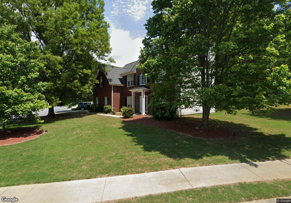
1096 Rolling Forest Ct Unit 2 Lilburn, GA 30047
Estimated Value: $450,366 - $514,000
5
Beds
3
Baths
2,896
Sq Ft
$169/Sq Ft
Est. Value
About This Home
This home is located at 1096 Rolling Forest Ct Unit 2, Lilburn, GA 30047 and is currently estimated at $488,842, approximately $168 per square foot. 1096 Rolling Forest Ct Unit 2 is a home located in Gwinnett County with nearby schools including Camp Creek Elementary School, Trickum Middle School, and Parkview High School.
Ownership History
Date
Name
Owned For
Owner Type
Purchase Details
Closed on
Jun 30, 1999
Sold by
Southfork Homes Inc
Bought by
Colquitt Willie P
Current Estimated Value
Home Financials for this Owner
Home Financials are based on the most recent Mortgage that was taken out on this home.
Original Mortgage
$177,050
Interest Rate
7.91%
Mortgage Type
New Conventional
Create a Home Valuation Report for This Property
The Home Valuation Report is an in-depth analysis detailing your home's value as well as a comparison with similar homes in the area
Home Values in the Area
Average Home Value in this Area
Purchase History
| Date | Buyer | Sale Price | Title Company |
|---|---|---|---|
| Colquitt Willie P | $182,600 | -- |
Source: Public Records
Mortgage History
| Date | Status | Borrower | Loan Amount |
|---|---|---|---|
| Previous Owner | Colquitt Willie P | $177,050 |
Source: Public Records
Tax History
| Year | Tax Paid | Tax Assessment Tax Assessment Total Assessment is a certain percentage of the fair market value that is determined by local assessors to be the total taxable value of land and additions on the property. | Land | Improvement |
|---|---|---|---|---|
| 2025 | $4,815 | $182,240 | $30,000 | $152,240 |
| 2024 | $4,741 | $172,000 | $30,000 | $142,000 |
| 2023 | $4,741 | $172,000 | $36,000 | $136,000 |
| 2022 | $4,418 | $158,200 | $30,800 | $127,400 |
| 2021 | $3,583 | $115,120 | $23,360 | $91,760 |
| 2020 | $3,609 | $115,120 | $23,360 | $91,760 |
| 2019 | $3,521 | $115,120 | $23,360 | $91,760 |
| 2018 | $3,379 | $108,360 | $20,000 | $88,360 |
| 2016 | $3,057 | $92,440 | $17,600 | $74,840 |
| 2015 | $2,986 | $88,080 | $16,000 | $72,080 |
| 2014 | $2,952 | $85,920 | $16,000 | $69,920 |
Source: Public Records
Map
Nearby Homes
- 1296 Mandalay Ct SW
- 991 Bay Pointe Way SW
- 1115 Lake Lucerne Rd SW
- 1166 Mandalay Ct SW
- 4304 Cedar Bluff Way SW
- 4650 Parkview Walk Dr
- 1178 Carla Joe Dr SW
- 1296 Lake Lucerne Rd SW
- 4424 Windsong Ct SW
- 710 Catamount Way SW
- 1091 Cole Dr SW
- 1306 Arlene Ct SW
- 921 Cedar Trace SW
- 4662 Ridgeland Dr SW
- 4672 Ridgeland Dr SW
- 4671 Ridgeland Dr SW
- 808 Valbrook Ct SW
- 4307 Cedar Wood Dr SW
- 1093 Washington Lee Dr SW
- 871 Cedar Trace SW
- 1086 Rolling Forest Ct
- 1086 Rolling Forest Ct Unit 6
- 1297 Mandalay Ct SW Unit 2
- 1316 Mandalay Ct SW
- 1326 Mandalay Ct SW Unit 2
- 1306 Mandalay Ct SW
- 1095 Rolling Forest Ct Unit 2
- 1287 Mandalay Ct SW Unit 2
- 1076 Rolling Forest Ct
- 1336 Mandalay Ct SW
- 1085 Rolling Forest Ct Unit 2
- 1065 Rolling Forest Ct
- 1346 Mandalay Ct SW
- 1286 Mandalay Ct SW Unit 2
- 0 Court SW Unit 7728863
- 0 Court SW Unit 7674822
- 0 Court SW Unit 7666189
- 1075 Rolling Forest Ct Unit 2
- 1083 Forest View Ln SW
- 4502 Timber Hill Ct
Your Personal Tour Guide
Ask me questions while you tour the home.