Estimated Value: $282,030 - $635,000
--
Bed
--
Bath
1
Sq Ft
$525,008/Sq Ft
Est. Value
About This Home
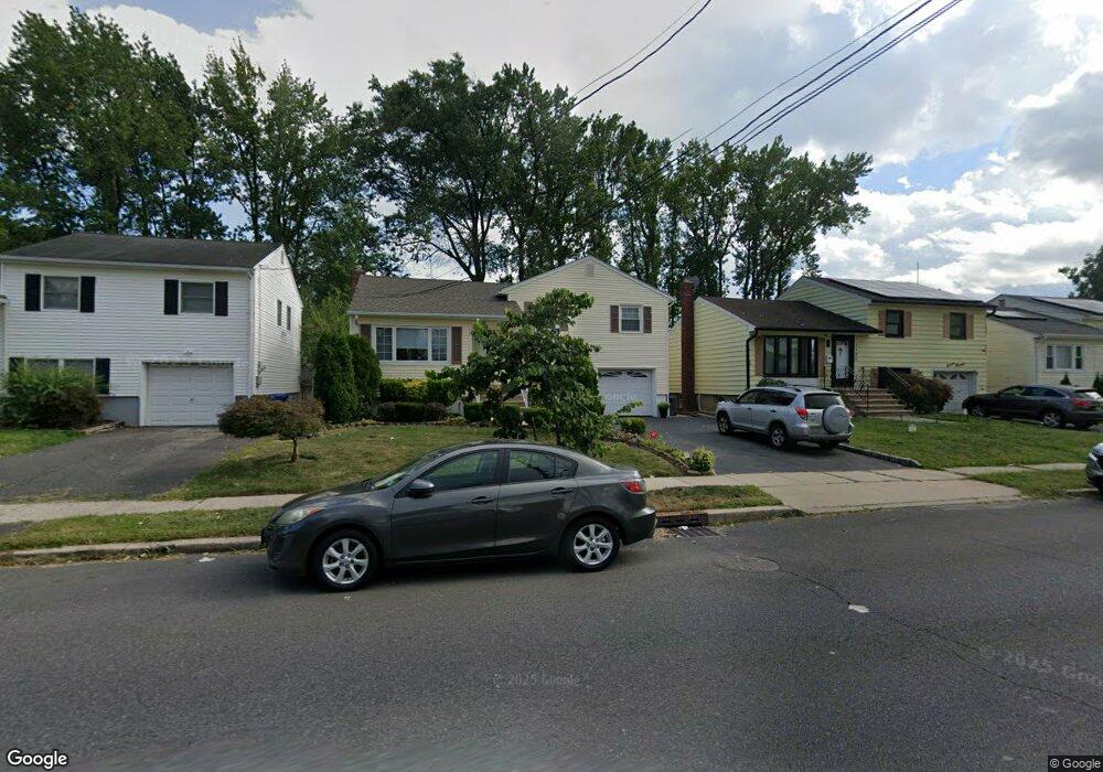
This home is located at 1096 W Chestnut St, Union, NJ 07083 and is currently estimated at $525,008, approximately $525,008 per square foot. 1096 W Chestnut St is a home located in Union County with nearby schools including Connecticut Farms Elementary School, Burnet Middle School, and Union High School.
Ownership History
Date
Name
Owned For
Owner Type
Purchase Details
Closed on
Jul 31, 2000
Sold by
Wisniewski Eulalia D Moreno and Wisniewski Eugene
Bought by
Moreno Wisniewski Eulalia D
Current Estimated Value
Purchase Details
Closed on
Apr 18, 2000
Sold by
Hoffman Linda and Hespeler Marie
Bought by
Wisniewski Eugene and Wisniewski Eulalia D Moreno
Home Financials for this Owner
Home Financials are based on the most recent Mortgage that was taken out on this home.
Original Mortgage
$110,000
Outstanding Balance
$37,631
Interest Rate
8.21%
Mortgage Type
Purchase Money Mortgage
Estimated Equity
$487,377
Create a Home Valuation Report for This Property
The Home Valuation Report is an in-depth analysis detailing your home's value as well as a comparison with similar homes in the area
Home Values in the Area
Average Home Value in this Area
Purchase History
| Date | Buyer | Sale Price | Title Company |
|---|---|---|---|
| Moreno Wisniewski Eulalia D | -- | -- | |
| Wisniewski Eugene | $160,000 | -- |
Source: Public Records
Mortgage History
| Date | Status | Borrower | Loan Amount |
|---|---|---|---|
| Open | Wisniewski Eugene | $110,000 |
Source: Public Records
Tax History Compared to Growth
Tax History
| Year | Tax Paid | Tax Assessment Tax Assessment Total Assessment is a certain percentage of the fair market value that is determined by local assessors to be the total taxable value of land and additions on the property. | Land | Improvement |
|---|---|---|---|---|
| 2025 | $10,460 | $46,800 | $20,800 | $26,000 |
| 2024 | $10,141 | $46,800 | $20,800 | $26,000 |
| 2023 | $10,141 | $46,800 | $20,800 | $26,000 |
| 2022 | $9,789 | $46,800 | $20,800 | $26,000 |
| 2021 | $9,551 | $46,800 | $20,800 | $26,000 |
| 2020 | $9,361 | $46,800 | $20,800 | $26,000 |
| 2019 | $9,235 | $46,800 | $20,800 | $26,000 |
| 2018 | $9,078 | $46,800 | $20,800 | $26,000 |
| 2017 | $8,943 | $46,800 | $20,800 | $26,000 |
| 2016 | $8,725 | $46,800 | $20,800 | $26,000 |
| 2015 | $8,581 | $46,800 | $20,800 | $26,000 |
| 2014 | $8,388 | $46,800 | $20,800 | $26,000 |
Source: Public Records
Map
Nearby Homes
- 1114 W Chestnut St
- 10 Sadie Cir
- 7 Sadie Cir Unit 7103
- 753 Lafayette Ave
- 809 Caldwell Ave
- 896 Caldwell Ave
- 127 Orchard Terrace
- 118 Orchard Terrace
- 160 Elmwood Ave
- 867 Dona Rd
- 109 Headley Terrace
- 412 Tournament6
- 713 Pinehurst Ct Unit 1
- 887 Ray Ave
- 2389 Steuben St
- 221 Broadmoor-4
- 492 Tournament4 Unit 4
- 551 Clubhouse Ct Unit 1
- 1010 Falls Terrace
- 161 Country Club Dr Unit 5
- 1092 W Chestnut St
- 1100 W Chestnut St
- 1104 W Chestnut St
- 1088 W Chestnut St
- 772 Lafayette Ave
- 768 Lafayette Ave
- 1108 W Chestnut St
- 1084 W Chestnut St
- 776 Lafayette Ave
- 764 Lafayette Ave
- 1105 W Chestnut St
- 780 Lafayette Ave
- 758 Lafayette Ave
- 812 Niles Rd
- 812 Niles Rd
- 812 Niles Rd Unit 1
- 1080 W Chestnut St
- 812 Savitt Place
- 1057 Henry St
- 784 Lafayette Ave