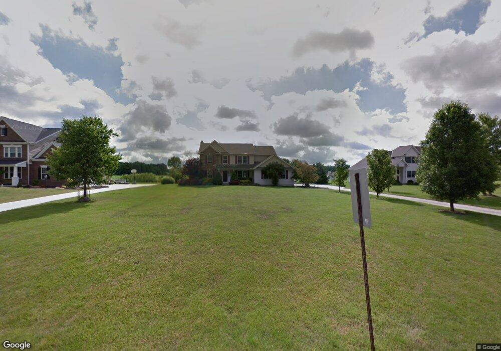
10965 Bridle Path Columbia Station, OH 44028
Estimated Value: $417,000 - $538,000
3
Beds
3
Baths
2,056
Sq Ft
$225/Sq Ft
Est. Value
About This Home
This home is located at 10965 Bridle Path, Columbia Station, OH 44028 and is currently estimated at $461,848, approximately $224 per square foot. 10965 Bridle Path is a home located in Lorain County with nearby schools including Copopa Elementary School, Columbia Middle School, and Columbia High School.
Ownership History
Date
Name
Owned For
Owner Type
Purchase Details
Closed on
Dec 22, 2023
Sold by
Boomer Bradley A and Boomer Danelle M
Bought by
B And D Boomer Revocable Trust and Boomer
Current Estimated Value
Purchase Details
Closed on
Sep 30, 2002
Sold by
Gill Construction
Bought by
Boomer Bradley A and Boomer Danelle M
Home Financials for this Owner
Home Financials are based on the most recent Mortgage that was taken out on this home.
Original Mortgage
$232,500
Interest Rate
6.39%
Mortgage Type
Purchase Money Mortgage
Create a Home Valuation Report for This Property
The Home Valuation Report is an in-depth analysis detailing your home's value as well as a comparison with similar homes in the area
Home Values in the Area
Average Home Value in this Area
Purchase History
| Date | Buyer | Sale Price | Title Company |
|---|---|---|---|
| B And D Boomer Revocable Trust | -- | None Listed On Document | |
| Boomer Bradley A | $254,000 | Progressive Land Title |
Source: Public Records
Mortgage History
| Date | Status | Borrower | Loan Amount |
|---|---|---|---|
| Previous Owner | Boomer Bradley A | $232,500 |
Source: Public Records
Tax History Compared to Growth
Tax History
| Year | Tax Paid | Tax Assessment Tax Assessment Total Assessment is a certain percentage of the fair market value that is determined by local assessors to be the total taxable value of land and additions on the property. | Land | Improvement |
|---|---|---|---|---|
| 2024 | $5,191 | $118,878 | $29,792 | $89,086 |
| 2023 | $4,904 | $98,088 | $22,953 | $75,135 |
| 2022 | $4,838 | $98,088 | $22,953 | $75,135 |
| 2021 | $4,830 | $98,088 | $22,953 | $75,135 |
| 2020 | $4,921 | $89,740 | $21,000 | $68,740 |
| 2019 | $4,891 | $89,740 | $21,000 | $68,740 |
| 2018 | $4,928 | $89,740 | $21,000 | $68,740 |
| 2017 | $5,767 | $97,810 | $20,840 | $76,970 |
| 2016 | $5,809 | $97,810 | $20,840 | $76,970 |
| 2015 | $5,850 | $97,810 | $20,840 | $76,970 |
| 2014 | $3,376 | $92,790 | $19,770 | $73,020 |
| 2013 | $3,376 | $92,790 | $19,770 | $73,020 |
Source: Public Records
Map
Nearby Homes
- 12584 Caribou Ct
- 23789 Snell Rd
- 24032 Edward Ln
- 12857 Caribou Ct
- 10702 Winding Creek Chase
- 23409 Kim's Trail
- 12150 N Boone Rd
- 23446 Kim's Trail
- 23465 Kim's Trail
- Columbia Plan at Ashford Cove
- Anderson Plan at Ashford Cove
- Hudson Plan at Ashford Cove
- Ballenger Plan at Ashford Cove
- Lehigh Plan at Ashford Cove
- 8960 Leatherleaf Dr
- 8981 Leatherleaf Dr
- 1046 Ashford Ct
- 23688 Rebecca Ln
- 23755 Rebecca Ln
- 0 E River Rd Unit 5120285
- 10989 Bridle Path
- 10941 Bridle Path Unit 43
- 10941 Bridle Path
- 10917 Bridle Path
- 11013 Bridle Path
- 25072 Saddlehorn Cir
- 10893 Bridle Path
- 10229 Baker Creek Ln
- 11037 Bridle Path
- Land Bridle Path
- 10871 Bridle Path
- 10400 Creekview Way
- 10920 Bridle Path
- 10438 Creek View Way
- 25048 Saddlehorn Cir
- 25053 Saddlehorn Cir
- 10372 Creek View Way
- 10446 Creek View Way
- 25029 Saddlehorn Cir
- 10316 Baker Creek Ln