10967 Sophie Mound St Las Vegas, NV 89141
Southern Highlands NeighborhoodEstimated Value: $754,000 - $905,000
4
Beds
3
Baths
2,518
Sq Ft
$330/Sq Ft
Est. Value
About This Home
This home is located at 10967 Sophie Mound St, Las Vegas, NV 89141 and is currently estimated at $831,520, approximately $330 per square foot. 10967 Sophie Mound St is a home with nearby schools including Charles & Phyllis Frias Elementary School, Lois & Jerry Tarkanian Middle School, and Desert Oasis High School.
Ownership History
Date
Name
Owned For
Owner Type
Purchase Details
Closed on
Aug 20, 2019
Sold by
Jackson Lori
Bought by
Jackson Lori and The Bonbini Trust
Current Estimated Value
Home Financials for this Owner
Home Financials are based on the most recent Mortgage that was taken out on this home.
Original Mortgage
$398,282
Interest Rate
3.73%
Mortgage Type
New Conventional
Purchase Details
Closed on
Aug 9, 2019
Sold by
Richmond American Homes Of Nevada Inc
Bought by
Jackson Lori
Home Financials for this Owner
Home Financials are based on the most recent Mortgage that was taken out on this home.
Original Mortgage
$398,282
Interest Rate
3.73%
Mortgage Type
New Conventional
Create a Home Valuation Report for This Property
The Home Valuation Report is an in-depth analysis detailing your home's value as well as a comparison with similar homes in the area
Home Values in the Area
Average Home Value in this Area
Purchase History
| Date | Buyer | Sale Price | Title Company |
|---|---|---|---|
| Jackson Lori | -- | None Available | |
| Jackson Lori | $497,852 | Ticor Title Las Vegas Dur |
Source: Public Records
Mortgage History
| Date | Status | Borrower | Loan Amount |
|---|---|---|---|
| Previous Owner | Jackson Lori | $398,282 |
Source: Public Records
Tax History Compared to Growth
Tax History
| Year | Tax Paid | Tax Assessment Tax Assessment Total Assessment is a certain percentage of the fair market value that is determined by local assessors to be the total taxable value of land and additions on the property. | Land | Improvement |
|---|---|---|---|---|
| 2025 | $6,280 | $250,884 | $52,500 | $198,384 |
| 2024 | $6,098 | $250,884 | $52,500 | $198,384 |
| 2023 | $6,098 | $231,446 | $47,250 | $184,196 |
| 2022 | $5,920 | $191,715 | $42,000 | $149,715 |
| 2021 | $5,245 | $178,721 | $36,750 | $141,971 |
| 2020 | $5,184 | $176,743 | $36,750 | $139,993 |
| 2019 | $4,848 | $30,940 | $30,940 | $0 |
| 2018 | $802 | $0 | $0 | $0 |
Source: Public Records
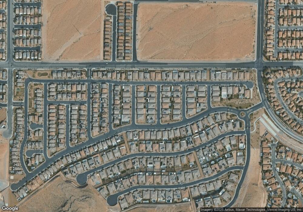
Map
Nearby Homes
- 11032 Brandan Alps St
- 6315 Carol Butte Ct
- 6248 Carol Butte Ct
- 6442 Kobe Knoll Ct
- 6160 Lautman Ridge Ct
- 6496 Cape Canyon Ct
- 6476 Little Harbor Ct
- 6516 Blessed Thistle Ave
- 6534 Blessed Thistle Ave
- 6279 Dollar Bill Ct
- 6255 Dollar Bill Ct
- 6134 W Levi Ave
- 5914 Attavilla Dr
- 6230 Bravestar Ct
- 11218 Dolcetto Dr
- 10610 Blue Larkspur Ct
- 5954 Varese Dr
- 6034 Genovese Ave
- 5914 Tinazzi Way
- 5966 Candia Ct
- 10959 Sophie Mound St
- 10966 Upland Kat St
- 10951 Sophie Mound St
- 10974 Upland Kat St
- 10958 Upland Kat St
- 10983 Sophie Mound St
- 10968 Sophie Mound St
- 10950 Upland Kat St
- 10976 Sophie Mound St
- 10960 Sophie Mound St
- 10982 Upland Kat St
- 10943 Sophie Mound St
- 10952 Sophie Mound St
- 10984 Sophie Mound St
- 10942 Upland Kat St
- 10944 Sophie Mound St
- 10965 Upland Kat St
- 10989 Tanner Crest St
- 10981 Tanner Crest St