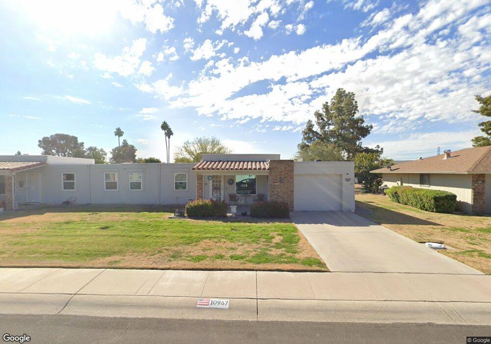
10967 W Kelso Dr Sun City, AZ 85351
Estimated Value: $200,437 - $224,000
--
Bed
2
Baths
1,484
Sq Ft
$144/Sq Ft
Est. Value
About This Home
This home is located at 10967 W Kelso Dr, Sun City, AZ 85351 and is currently estimated at $213,609, approximately $143 per square foot. 10967 W Kelso Dr is a home located in Maricopa County with nearby schools including Desert Mirage Elementary School, Ombudsman - Northwest Charter, and Peoria Accelerated High School.
Ownership History
Date
Name
Owned For
Owner Type
Purchase Details
Closed on
Jun 21, 2016
Sold by
Jacobson Lidell
Bought by
Groves Kathleen M
Current Estimated Value
Home Financials for this Owner
Home Financials are based on the most recent Mortgage that was taken out on this home.
Original Mortgage
$93,279
Outstanding Balance
$74,957
Interest Rate
3.87%
Mortgage Type
FHA
Estimated Equity
$138,652
Purchase Details
Closed on
Aug 24, 2006
Sold by
Olson Bernice L
Bought by
Flanigan Mary G
Create a Home Valuation Report for This Property
The Home Valuation Report is an in-depth analysis detailing your home's value as well as a comparison with similar homes in the area
Home Values in the Area
Average Home Value in this Area
Purchase History
| Date | Buyer | Sale Price | Title Company |
|---|---|---|---|
| Groves Kathleen M | $95,000 | First American Title Ins Co | |
| Flanigan Mary G | $147,000 | Spectrum Title Agency |
Source: Public Records
Mortgage History
| Date | Status | Borrower | Loan Amount |
|---|---|---|---|
| Open | Groves Kathleen M | $93,279 |
Source: Public Records
Tax History Compared to Growth
Tax History
| Year | Tax Paid | Tax Assessment Tax Assessment Total Assessment is a certain percentage of the fair market value that is determined by local assessors to be the total taxable value of land and additions on the property. | Land | Improvement |
|---|---|---|---|---|
| 2025 | $773 | $9,544 | -- | -- |
| 2024 | $695 | $9,089 | -- | -- |
| 2023 | $695 | $19,330 | $3,860 | $15,470 |
| 2022 | $656 | $15,400 | $3,080 | $12,320 |
| 2021 | $677 | $14,500 | $2,900 | $11,600 |
| 2020 | $657 | $13,980 | $2,790 | $11,190 |
| 2019 | $651 | $10,300 | $2,060 | $8,240 |
| 2018 | $627 | $9,210 | $1,840 | $7,370 |
| 2017 | $603 | $8,110 | $1,620 | $6,490 |
| 2016 | $566 | $7,460 | $1,490 | $5,970 |
| 2015 | $540 | $6,730 | $1,340 | $5,390 |
Source: Public Records
Map
Nearby Homes
- 11005 W Kelso Dr
- 9415 N 111th Ave
- 9459 N 111th Ave
- 11138 W Hatcher Rd
- 9614 N 110th Ave
- 10825 W Caron Dr
- 8842 N 112th Ave
- 10731 W Mission Ln Unit 200
- 11211 W Lawrence Ln
- 10726 W Kelso Dr Unit 172
- 10732 W Denham Dr Unit 17
- 10726 W Denham Dr Unit 16
- 10707 W Mission Ln
- 10816 W Venturi Dr
- 9202 N 107th Ave Unit 8
- 10801 W Mountain View Rd
- 11241 W Ruth Ave
- 10788 W Cinnebar Ave
- 8800 N 107th Ave Unit 17
- 8800 N 107th Ave Unit 19
- 10963 W Kelso Dr Unit 6G
- 10973 W Kelso Dr
- 10977 W Kelso Dr
- 10957 W Kelso Dr
- 11022 W Caron Dr
- 11026 W Caron Dr
- 11016 W Caron Dr
- 10966 W Kelso Dr Unit 27
- 11032 W Caron Dr
- 10953 W Kelso Dr
- 10953 W Kelso Dr Unit 109
- 10962 W Kelso Dr
- 10964 W Kelso Dr
- 10976 W Kelso Dr Unit 6G
- 11001 W Kelso Dr
- 11036 W Caron Dr
- 10978 W Kelso Dr Unit 25
- 10954 W Kelso Dr Unit 29
- 11006 W Caron Dr Unit 52
- 10947 W Kelso Dr