10969 Mitchell Rd Columbia Station, OH 44028
Estimated Value: $463,000 - $614,000
4
Beds
3
Baths
2,881
Sq Ft
$187/Sq Ft
Est. Value
About This Home
This home is located at 10969 Mitchell Rd, Columbia Station, OH 44028 and is currently estimated at $539,533, approximately $187 per square foot. 10969 Mitchell Rd is a home located in Lorain County with nearby schools including Olmsted Falls Intermediate Building, Falls-Lenox Primary Elementary School, and Olmsted Falls Middle School.
Ownership History
Date
Name
Owned For
Owner Type
Purchase Details
Closed on
Mar 25, 2002
Sold by
Stumpf Bernard G
Bought by
Szabados Laszlo M and Bakos Ildiko E
Current Estimated Value
Home Financials for this Owner
Home Financials are based on the most recent Mortgage that was taken out on this home.
Original Mortgage
$95,000
Interest Rate
6.93%
Create a Home Valuation Report for This Property
The Home Valuation Report is an in-depth analysis detailing your home's value as well as a comparison with similar homes in the area
Purchase History
| Date | Buyer | Sale Price | Title Company |
|---|---|---|---|
| Szabados Laszlo M | $300,000 | Title Xperts Agency Inc |
Source: Public Records
Mortgage History
| Date | Status | Borrower | Loan Amount |
|---|---|---|---|
| Previous Owner | Szabados Laszlo M | $95,000 |
Source: Public Records
Tax History
| Year | Tax Paid | Tax Assessment Tax Assessment Total Assessment is a certain percentage of the fair market value that is determined by local assessors to be the total taxable value of land and additions on the property. | Land | Improvement |
|---|---|---|---|---|
| 2024 | $5,584 | $125,783 | $30,751 | $95,032 |
| 2023 | $6,683 | $131,670 | $37,454 | $94,217 |
| 2022 | $6,529 | $131,670 | $37,454 | $94,217 |
| 2021 | $6,594 | $131,670 | $37,450 | $94,220 |
| 2020 | $6,372 | $114,200 | $32,480 | $81,720 |
| 2019 | $6,337 | $114,200 | $32,480 | $81,720 |
| 2018 | $6,391 | $114,200 | $32,480 | $81,720 |
| 2017 | $6,235 | $103,360 | $26,930 | $76,430 |
| 2016 | $6,146 | $103,360 | $26,930 | $76,430 |
| 2015 | $6,149 | $103,360 | $26,930 | $76,430 |
| 2014 | $4,971 | $98,060 | $25,550 | $72,510 |
| 2013 | $4,971 | $98,060 | $25,550 | $72,510 |
Source: Public Records
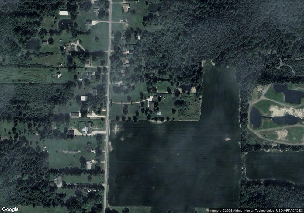
Map
Nearby Homes
- 9788 Nicole Ln
- 9660 Sunray Dr
- 26571 Sprague Rd
- 9663 Grand Oaks Trail
- 33743 Henwell Rd
- 33765 Henwell Rd
- 9491 Root Rd
- 8860 Sharp Rd
- 9202 Lake View Dr
- 0 Vl Cooley Rd
- 0 V L Cooley Rd
- 0 V L Schady Rd Unit 5163658
- 26860 Royalton Rd
- 0 Sprague Rd
- 27604 Royalton Rd
- 33110 Wren Haven Cir
- 9509 Reed Rd
- 26740 Lake of the Falls Blvd
- 8898 Harvest Ridge Way
- 8576 Lynhurst Dr
- 10955 Mitchell Rd
- 10893 Mitchell Rd
- 10853 Mitchell Rd
- 10823 Mitchell Rd
- 11030 Mitchell Rd
- 10890 Mitchell Rd
- 10934 Mitchell Rd
- 10795 Mitchell Rd
- 11088 Mitchell Rd
- 10844 Mitchell Rd
- 10978 Mitchell Rd
- 10761 Mitchell Rd
- 11142 Mitchell Rd
- 10713 Mitchell Rd
- 10818 Mitchell Rd
- 11220 Mitchell Rd
- 10760 Mitchell Rd
- 11287 Mitchell Rd
- 10692 Mitchell Rd
- 10685 Mitchell Rd
Your Personal Tour Guide
Ask me questions while you tour the home.