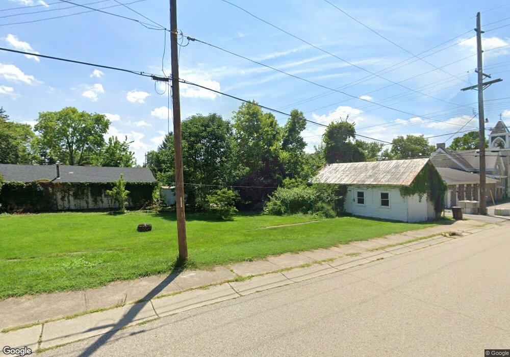
1097 E State Route 73 Springboro, OH 45066
Estimated Value: $281,000 - $341,000
3
Beds
1
Bath
1,512
Sq Ft
$199/Sq Ft
Est. Value
About This Home
This home is located at 1097 E State Route 73, Springboro, OH 45066 and is currently estimated at $300,668, approximately $198 per square foot. 1097 E State Route 73 is a home located in Warren County with nearby schools including Clearcreek Elementary School, Springboro Intermediate School, and Springboro Junior High School.
Ownership History
Date
Name
Owned For
Owner Type
Purchase Details
Closed on
Sep 10, 2015
Sold by
Robbinson Robert E and Robbinson Carol M
Bought by
Music Limited Partnership
Current Estimated Value
Purchase Details
Closed on
May 4, 1979
Sold by
Geisler Geisler and Geisler Veron L
Purchase Details
Closed on
Mar 27, 1978
Sold by
Berlo Berlo and Berlo Michael D
Create a Home Valuation Report for This Property
The Home Valuation Report is an in-depth analysis detailing your home's value as well as a comparison with similar homes in the area
Home Values in the Area
Average Home Value in this Area
Purchase History
| Date | Buyer | Sale Price | Title Company |
|---|---|---|---|
| Music Limited Partnership | -- | None Available | |
| Music Limited Partnership | -- | None Available | |
| -- | $51,500 | -- | |
| -- | $45,900 | -- |
Source: Public Records
Tax History
| Year | Tax Paid | Tax Assessment Tax Assessment Total Assessment is a certain percentage of the fair market value that is determined by local assessors to be the total taxable value of land and additions on the property. | Land | Improvement |
|---|---|---|---|---|
| 2025 | $3,003 | $71,690 | $22,990 | $48,700 |
| 2024 | $3,003 | $71,690 | $22,990 | $48,700 |
| 2023 | $2,503 | $56,066 | $12,855 | $43,211 |
| 2022 | $2,503 | $56,067 | $12,856 | $43,211 |
| 2021 | $2,354 | $56,067 | $12,856 | $43,211 |
| 2020 | $2,214 | $45,581 | $10,451 | $35,130 |
| 2019 | $2,057 | $45,581 | $10,451 | $35,130 |
| 2018 | $2,047 | $45,581 | $10,451 | $35,130 |
| 2017 | $1,834 | $36,572 | $9,030 | $27,542 |
| 2016 | $1,908 | $36,572 | $9,030 | $27,542 |
| 2015 | $1,851 | $36,572 | $9,030 | $27,542 |
| 2014 | $1,831 | $34,180 | $8,440 | $25,740 |
| 2013 | $1,831 | $42,320 | $10,450 | $31,870 |
Source: Public Records
Map
Nearby Homes
- 7259 State Route 48
- 7777 State Route 48
- 710 White Cedar Way
- 441 East St Unit 73
- 441 Ohio 73
- 0 Voltaire Ct Unit 1863060
- 8234 Voltaire Ct
- 701 Grand Wood Ct
- 8236 Wilde Ct
- 0 White Cedar Way Unit 1818661
- 162 E State Route 73
- 7412 Larkspur Ct
- 811 Wind Bluff Point
- 8711 Nicole Ln
- 8638 Sycamore Trails Dr
- 7425 Stoneham Cir
- 7402 Silver Lake Dr
- 7411 Waterway Dr
- 472 Timber Walk Ct
- 7345 Waterway Dr
- 1115 E State Route 73
- 1079 E State Route 73
- 1133 E State Route 73
- 1049 E State Route 73
- 1049 E State Route 73
- 1151 E State Route 73
- 1169 E State Route 73
- 1021 E State Route 73
- 1122 E State Route 73
- 1160 E State Route 73
- 1166 E State Route 73 Unit TWP
- 1020 Ohio 73
- 1020 E State Route 73
- 1020 E St Rt 73
- 1098 E State Route 73
- 7355 State Route 48
- 1168 E St Rt 73
- 1168 E State Route 73
- 1164 E State Route 73
- 1249 E State Route 73
Your Personal Tour Guide
Ask me questions while you tour the home.