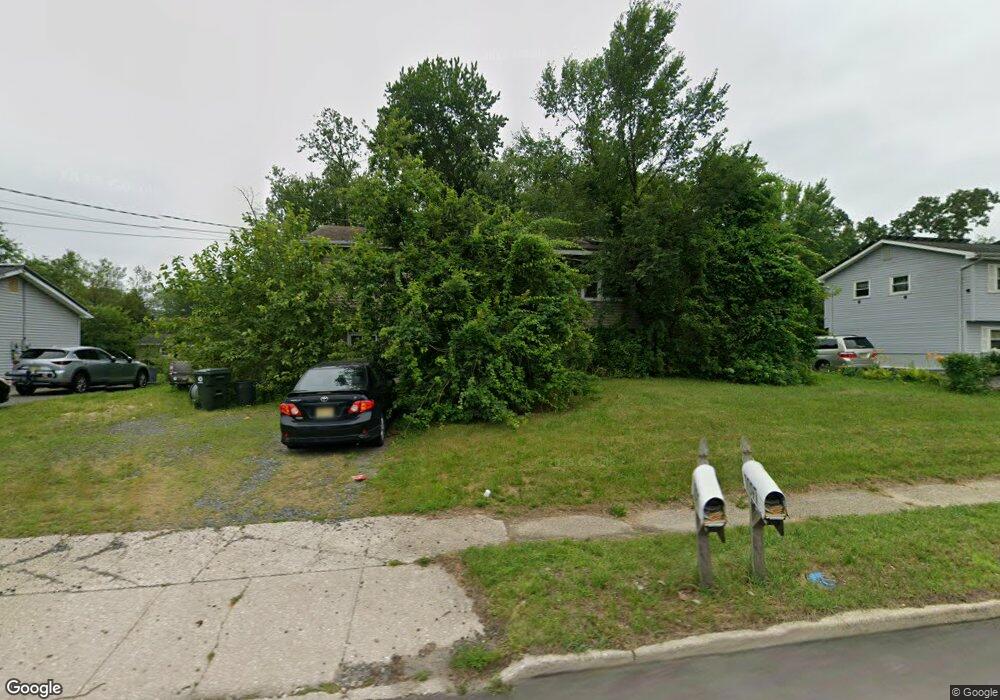
1097 Larsen Rd Jackson, NJ 08527
Estimated Value: $516,000 - $597,321
5
Beds
2
Baths
1,834
Sq Ft
$299/Sq Ft
Est. Value
About This Home
This home is located at 1097 Larsen Rd, Jackson, NJ 08527 and is currently estimated at $547,830, approximately $298 per square foot. 1097 Larsen Rd is a home located in Ocean County with nearby schools including Howard C. Johnson Elementary School, Carl W. Goetz Middle School, and Jackson Memorial High School.
Ownership History
Date
Name
Owned For
Owner Type
Purchase Details
Closed on
Nov 21, 2025
Sold by
Jones Joseph
Bought by
Blue Iris Properties Llc
Current Estimated Value
Purchase Details
Closed on
Dec 1, 2003
Sold by
Bedell Robert J
Bought by
Jones Joseph
Home Financials for this Owner
Home Financials are based on the most recent Mortgage that was taken out on this home.
Original Mortgage
$133,600
Interest Rate
5.98%
Purchase Details
Closed on
Sep 12, 2000
Sold by
Koval Terry
Bought by
Bedell Robert and Ward Thomas
Home Financials for this Owner
Home Financials are based on the most recent Mortgage that was taken out on this home.
Original Mortgage
$116,000
Interest Rate
8.07%
Purchase Details
Closed on
Oct 10, 1997
Sold by
Koval Thomas E
Bought by
Koval Terry E and Koval Linda S
Create a Home Valuation Report for This Property
The Home Valuation Report is an in-depth analysis detailing your home's value as well as a comparison with similar homes in the area
Home Values in the Area
Average Home Value in this Area
Purchase History
| Date | Buyer | Sale Price | Title Company |
|---|---|---|---|
| Blue Iris Properties Llc | $345,000 | World Wide Land Transfer | |
| Jones Joseph | $167,000 | -- | |
| Bedell Robert | $145,000 | -- | |
| Koval Terry E | -- | -- |
Source: Public Records
Mortgage History
| Date | Status | Borrower | Loan Amount |
|---|---|---|---|
| Previous Owner | Jones Joseph | $133,600 | |
| Previous Owner | Bedell Robert | $116,000 |
Source: Public Records
Tax History Compared to Growth
Tax History
| Year | Tax Paid | Tax Assessment Tax Assessment Total Assessment is a certain percentage of the fair market value that is determined by local assessors to be the total taxable value of land and additions on the property. | Land | Improvement |
|---|---|---|---|---|
| 2025 | $6,790 | $437,200 | $262,400 | $174,800 |
| 2024 | $6,532 | $247,900 | $114,400 | $133,500 |
| 2023 | $6,403 | $247,900 | $114,400 | $133,500 |
| 2022 | $6,403 | $247,900 | $114,400 | $133,500 |
| 2021 | $6,279 | $247,900 | $114,400 | $133,500 |
| 2020 | $6,193 | $247,900 | $114,400 | $133,500 |
| 2019 | $6,108 | $247,900 | $114,400 | $133,500 |
| 2018 | $5,962 | $247,900 | $114,400 | $133,500 |
| 2017 | $5,818 | $247,900 | $114,400 | $133,500 |
| 2016 | $5,719 | $247,900 | $114,400 | $133,500 |
| 2015 | $5,603 | $247,900 | $114,400 | $133,500 |
| 2014 | $5,454 | $247,900 | $114,400 | $133,500 |
Source: Public Records
Map
Nearby Homes
- 1041 Aumack Rd
- 4 River Edge Dr
- 90 E Connecticut Concourse
- 939 Hyson Rd
- 179 Farmers Ln
- 1 Andover Rd
- 16 Bock Blvd
- 10 Marion Ave
- 7 Steven Place
- 73 E Connecticut
- 10 Cooper Dr
- 71 E Connecticut Concourse
- 8 Hampton Dr
- 353 Pfister Rd
- 876 Fort Plains Rd
- 22 Dina Place
- 1090 Bennetts Mills Rd
- 46 E Connecticut Concourse
- 126 Andover Rd
- 12 Cedar Ct