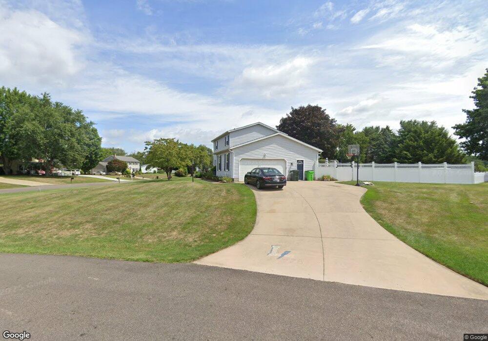
1097 Shelview Cir NW Uniontown, OH 44685
Estimated Value: $315,000 - $352,000
3
Beds
3
Baths
1,958
Sq Ft
$169/Sq Ft
Est. Value
About This Home
This home is located at 1097 Shelview Cir NW, Uniontown, OH 44685 and is currently estimated at $331,122, approximately $169 per square foot. 1097 Shelview Cir NW is a home located in Stark County with nearby schools including Lake Middle/High School and Lake Center Christian School.
Ownership History
Date
Name
Owned For
Owner Type
Purchase Details
Closed on
Nov 30, 1998
Sold by
Contes Nicholas J and Contes Vicki D
Bought by
Green Stacy Douglas and Green Brenda Kae
Current Estimated Value
Home Financials for this Owner
Home Financials are based on the most recent Mortgage that was taken out on this home.
Original Mortgage
$131,500
Outstanding Balance
$30,464
Interest Rate
7.01%
Mortgage Type
Purchase Money Mortgage
Estimated Equity
$300,658
Create a Home Valuation Report for This Property
The Home Valuation Report is an in-depth analysis detailing your home's value as well as a comparison with similar homes in the area
Home Values in the Area
Average Home Value in this Area
Purchase History
| Date | Buyer | Sale Price | Title Company |
|---|---|---|---|
| Green Stacy Douglas | $138,500 | -- |
Source: Public Records
Mortgage History
| Date | Status | Borrower | Loan Amount |
|---|---|---|---|
| Open | Green Stacy Douglas | $131,500 |
Source: Public Records
Tax History Compared to Growth
Tax History
| Year | Tax Paid | Tax Assessment Tax Assessment Total Assessment is a certain percentage of the fair market value that is determined by local assessors to be the total taxable value of land and additions on the property. | Land | Improvement |
|---|---|---|---|---|
| 2025 | -- | $115,610 | $23,070 | $92,540 |
| 2024 | -- | $115,610 | $23,070 | $92,540 |
| 2023 | $3,548 | $69,620 | $17,640 | $51,980 |
| 2022 | $3,560 | $69,620 | $17,640 | $51,980 |
| 2021 | $3,598 | $69,620 | $17,640 | $51,980 |
| 2020 | $3,460 | $59,820 | $15,230 | $44,590 |
| 2019 | $3,432 | $61,120 | $15,230 | $45,890 |
| 2018 | $3,510 | $61,120 | $15,230 | $45,890 |
| 2017 | $3,409 | $54,930 | $13,590 | $41,340 |
| 2016 | $3,416 | $54,930 | $13,590 | $41,340 |
| 2015 | $3,414 | $54,930 | $13,590 | $41,340 |
| 2014 | $1,149 | $52,080 | $12,880 | $39,200 |
| 2013 | $1,575 | $52,080 | $12,880 | $39,200 |
Source: Public Records
Map
Nearby Homes
- 1037 Canyon St NE
- 12055 King Church Ave NW
- 786 Fair Vista Cir SW
- 531 Gentlebrook Blvd SW
- 778 Fair Vista Cir SW
- 747 Grandview Cir
- 525 Gentlebrook Blvd SW
- 550 Woodlands Glen Ave
- 12201 King Church Ave NW
- 1771 Midway St NW
- 510 Meadow Cir SW Unit 11
- 11900 Geib Ave NE
- 11121 Geib Ave NE
- 425 Tonawanda Trail SW
- 2084 Hazel St NE
- Unit 9 Meadow Trail SW Unit 9
- 225 Seneca Trail SW
- 1180 Tessa Trail Unit 1180
- 1975 Eloise Cir NE
- 1702 Gulf St NW
- 11276 Sarahann Ave NW
- 1087 Shelview Cir NW
- 11298 Sarahann Ave NW
- 1096 Shelview Cir NW
- 11257 Sarahann Ave NW
- 11245 Sarahann Ave NW
- 11275 Sarahann Ave NW
- 1077 Shelview Cir NW
- 11211 Sarahann Ave NW
- 11291 Sarahann Ave NW
- 11255 Market Ave NW
- 1068 Shelview Cir NW
- 11225 Market Ave NW
- 1067 Shelview Cir NW
- 1080 Tumbleweed St NW
- 11191 Sarahann Ave NW
- 1033 Tumbleweed St NW
- 11192 Sarahann Ave NW
- 1051 Tumbleweed St NW
- 11205 Market Ave NW