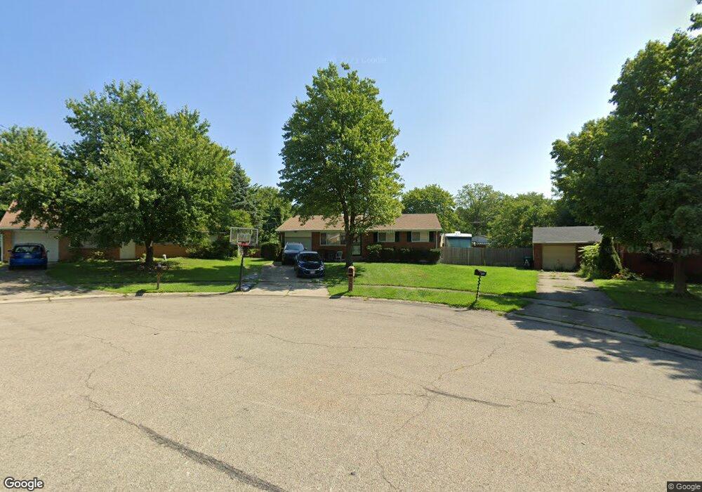
10972 Aldbough Ct Cincinnati, OH 45251
Northgate NeighborhoodEstimated Value: $183,000 - $214,000
3
Beds
2
Baths
1,080
Sq Ft
$184/Sq Ft
Est. Value
About This Home
This home is located at 10972 Aldbough Ct, Cincinnati, OH 45251 and is currently estimated at $198,866, approximately $184 per square foot. 10972 Aldbough Ct is a home located in Hamilton County with nearby schools including Pleasant Run Elementary School, Taylor Elementary School, and Pleasant Run Middle School.
Ownership History
Date
Name
Owned For
Owner Type
Purchase Details
Closed on
Jul 28, 2006
Sold by
Taylor Stephanie Annette
Bought by
Mills David W
Current Estimated Value
Home Financials for this Owner
Home Financials are based on the most recent Mortgage that was taken out on this home.
Original Mortgage
$113,500
Outstanding Balance
$78,440
Interest Rate
9.75%
Mortgage Type
Unknown
Estimated Equity
$120,426
Purchase Details
Closed on
Mar 15, 2001
Sold by
Taylor James A and Taylor Ann P
Bought by
Taylor Stephanie Annette
Create a Home Valuation Report for This Property
The Home Valuation Report is an in-depth analysis detailing your home's value as well as a comparison with similar homes in the area
Home Values in the Area
Average Home Value in this Area
Purchase History
| Date | Buyer | Sale Price | Title Company |
|---|---|---|---|
| Mills David W | $113,500 | Prodigy Title Agency | |
| Taylor Stephanie Annette | -- | -- |
Source: Public Records
Mortgage History
| Date | Status | Borrower | Loan Amount |
|---|---|---|---|
| Open | Mills David W | $113,500 |
Source: Public Records
Tax History Compared to Growth
Tax History
| Year | Tax Paid | Tax Assessment Tax Assessment Total Assessment is a certain percentage of the fair market value that is determined by local assessors to be the total taxable value of land and additions on the property. | Land | Improvement |
|---|---|---|---|---|
| 2024 | $2,534 | $47,306 | $10,150 | $37,156 |
| 2023 | $2,549 | $47,306 | $10,150 | $37,156 |
| 2022 | $1,935 | $29,236 | $8,985 | $20,251 |
| 2021 | $1,918 | $29,236 | $8,985 | $20,251 |
| 2020 | $1,938 | $29,236 | $8,985 | $20,251 |
| 2019 | $1,677 | $23,576 | $7,245 | $16,331 |
| 2018 | $1,505 | $23,576 | $7,245 | $16,331 |
| 2017 | $1,426 | $23,576 | $7,245 | $16,331 |
| 2016 | $1,579 | $25,785 | $7,315 | $18,470 |
| 2015 | $1,594 | $25,785 | $7,315 | $18,470 |
| 2014 | $1,597 | $25,785 | $7,315 | $18,470 |
| 2013 | $1,599 | $27,143 | $7,700 | $19,443 |
Source: Public Records
Map
Nearby Homes
- 2845 Wilson Ave
- 2882 Wilson Ave
- 2696 Washington Ave
- 2508 Wilson Ave
- 10762 Pippin Rd
- 2530 Lincoln Ave
- 2465 Wilson Ave
- 2717 Merrittview Ln
- 10528 Pottinger Rd
- 2504 Houston Rd Unit 1
- 2504 Houston Rd
- 2502 Houston Rd Unit 2
- 2502 Houston Rd
- 2869 Houston Rd
- 2474 Houston Rd Unit 11
- 2474 Houston Rd
- 2472 Houston Rd Unit 12
- 2472 Houston Rd
- 10804 Sprucehill Dr
- 2456 Houston Rd
- 10980 Aldbough Ct
- 10964 Aldbough Ct
- 10969 Newmarket Dr
- 10979 Newmarket Dr
- 10961 Newmarket Dr
- 10987 Newmarket Dr
- 10987 Aldbough Ct
- 2810 Wilson Ave
- 10954 Aldbough Ct
- 2823 Klondike Ct
- 2802 Wilson Ave
- 2832 Klondike Ct
- 10961 Aldbough Ct
- 10979 Aldbough Ct
- 10969 Aldbough Ct
- 10995 Newmarket Dr
- 2844 Wilson Ave
- 10970 Newmarket Dr
- 10980 Newmarket Dr
- 10962 Newmarket Dr