10973 Smock Rd Owensboro, KY 42301
Estimated Value: $211,000
4
Beds
1
Bath
2,048
Sq Ft
$103/Sq Ft
Est. Value
About This Home
This home is located at 10973 Smock Rd, Owensboro, KY 42301 and is currently estimated at $211,000, approximately $103 per square foot. 10973 Smock Rd is a home located in Daviess County with nearby schools including West Louisville Elementary School, F.T. Burns Middle School, and Apollo High School.
Create a Home Valuation Report for This Property
The Home Valuation Report is an in-depth analysis detailing your home's value as well as a comparison with similar homes in the area
Home Values in the Area
Average Home Value in this Area
Tax History Compared to Growth
Tax History
| Year | Tax Paid | Tax Assessment Tax Assessment Total Assessment is a certain percentage of the fair market value that is determined by local assessors to be the total taxable value of land and additions on the property. | Land | Improvement |
|---|---|---|---|---|
| 2025 | $280 | $26,600 | $0 | $0 |
| 2024 | $280 | $26,578 | $0 | $0 |
| 2023 | $401 | $32,378 | $0 | $0 |
| 2022 | $316 | $23,587 | $0 | $0 |
| 2021 | $318 | $90,700 | $0 | $0 |
| 2020 | $320 | $90,700 | $0 | $0 |
| 2019 | $291 | $90,700 | $0 | $0 |
| 2018 | $1,319 | $90,700 | $0 | $0 |
| 2017 | $295 | $21,400 | $0 | $0 |
| 2016 | $282 | $21,400 | $0 | $0 |
| 2015 | -- | $21,400 | $0 | $0 |
| 2014 | -- | $83,000 | $0 | $0 |
Source: Public Records
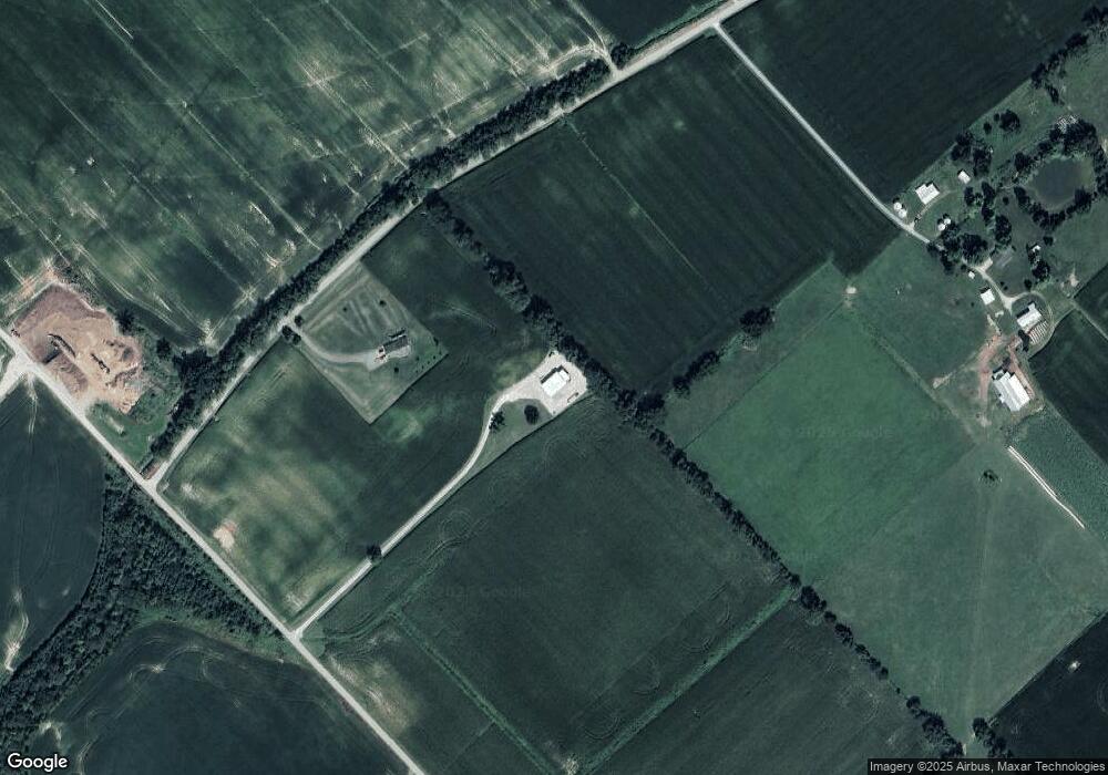
Map
Nearby Homes
- 20091 Upper Delaware Rd
- 1018 Alves Ferry Rd
- 16745 Kentucky 416
- 16613 Kentucky 351
- 20771 Kentucky 416
- 20788 Kentucky 416
- 20773 Kentucky 416
- 17181 Upper Delaware Rd
- 14831 State Route 1078 S
- 15217 Kentucky 351
- 960 Bohannon Rd
- 1741 Kentucky 1233
- 17541 Rangers Landing Rd
- 8761 State Route 136 W
- 14766 Griffin Graves Creek Rd
- 15475 Middle Delaware Rd
- 9285 Stanley-Birk City Rd
- 9263 Stanley Birk City Rd
- 9320 Hobbs Rd
- 2000 Kentucky 797