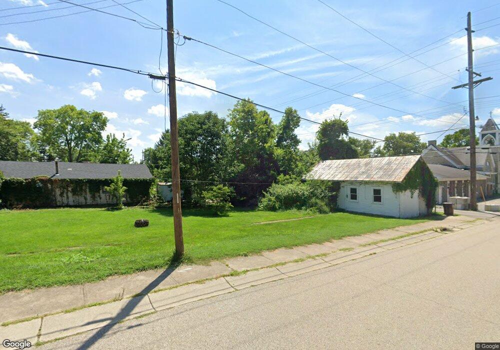
1098 E State Route 73 Springboro, OH 45066
Estimated Value: $68,063 - $518,000
Studio
--
Bath
--
Sq Ft
72,266
Sq Ft Lot
About This Home
This home is located at 1098 E State Route 73, Springboro, OH 45066 and is currently estimated at $294,766. 1098 E State Route 73 is a home located in Warren County with nearby schools including Clearcreek Elementary School, Springboro Intermediate School, and Springboro Junior High School.
Ownership History
Date
Name
Owned For
Owner Type
Purchase Details
Closed on
Jan 29, 2002
Sold by
Moyer Vince
Bought by
Petry Brian L and Petry Deborah
Current Estimated Value
Purchase Details
Closed on
Dec 8, 2000
Sold by
Neils Jerry D
Bought by
Moyer Vince
Purchase Details
Closed on
Sep 8, 1992
Sold by
Nelis Jerry D and Nelis Jerry D
Bought by
Nelis and Nelis Jerry D
Create a Home Valuation Report for This Property
The Home Valuation Report is an in-depth analysis detailing your home's value as well as a comparison with similar homes in the area
Home Values in the Area
Average Home Value in this Area
Purchase History
| Date | Buyer | Sale Price | Title Company |
|---|---|---|---|
| Petry Brian L | $28,000 | -- | |
| Moyer Vince | $20,500 | -- | |
| Nelis | -- | -- |
Source: Public Records
Tax History
| Year | Tax Paid | Tax Assessment Tax Assessment Total Assessment is a certain percentage of the fair market value that is determined by local assessors to be the total taxable value of land and additions on the property. | Land | Improvement |
|---|---|---|---|---|
| 2025 | $1,127 | $27,040 | $27,040 | -- |
| 2024 | $1,127 | $27,040 | $27,040 | -- |
| 2023 | $530 | $11,669 | $11,669 | $0 |
| 2022 | $518 | $11,669 | $11,669 | $0 |
| 2021 | $487 | $11,669 | $11,669 | $0 |
| 2020 | $478 | $9,888 | $9,888 | $0 |
| 2019 | $444 | $9,888 | $9,888 | $0 |
| 2018 | $444 | $9,888 | $9,888 | $0 |
| 2017 | $439 | $8,803 | $8,803 | $0 |
| 2016 | $457 | $8,803 | $8,803 | $0 |
| 2015 | $458 | $8,803 | $8,803 | $0 |
| 2014 | $445 | $8,080 | $8,080 | $0 |
| 2013 | $445 | $9,430 | $9,430 | $0 |
Source: Public Records
Map
Nearby Homes
- 7777 State Route 48
- 7259 State Route 48
- 710 White Cedar Way
- 441 East St Unit 73
- 0 Voltaire Ct Unit 1863060
- 8234 Voltaire Ct
- 441 Ohio 73
- 701 Grand Wood Ct
- 8236 Wilde Ct
- 0 White Cedar Way Unit 1818661
- 162 E State Route 73
- 811 Wind Bluff Point
- 8711 Nicole Ln
- 8638 Sycamore Trails Dr
- 7412 Larkspur Ct
- 7425 Stoneham Cir
- 7411 Waterway Dr
- 7402 Silver Lake Dr
- 9048 Bedford Ct
- Lot 8 Robert's Way
- 1164 E State Route 73
- 1160 E State Route 73
- 1122 E State Route 73
- 1136 Nelis Ct
- 0 Lemay St
- 1166 E State Route 73 Unit TWP
- 1130 Nelis Ct
- 1094 Nelis Ct
- 1144 Nelis Ct
- 1168 E St Rt 73
- 1168 E State Route 73
- 1058 Nelis Ct
- 1020 Ohio 73
- 1020 E State Route 73
- 1020 E St Rt 73
- 1151 E State Route 73
- 1169 E State Route 73
- 1133 E State Route 73
- 1054 Nelis Ct
- 1115 E State Route 73
Your Personal Tour Guide
Ask me questions while you tour the home.