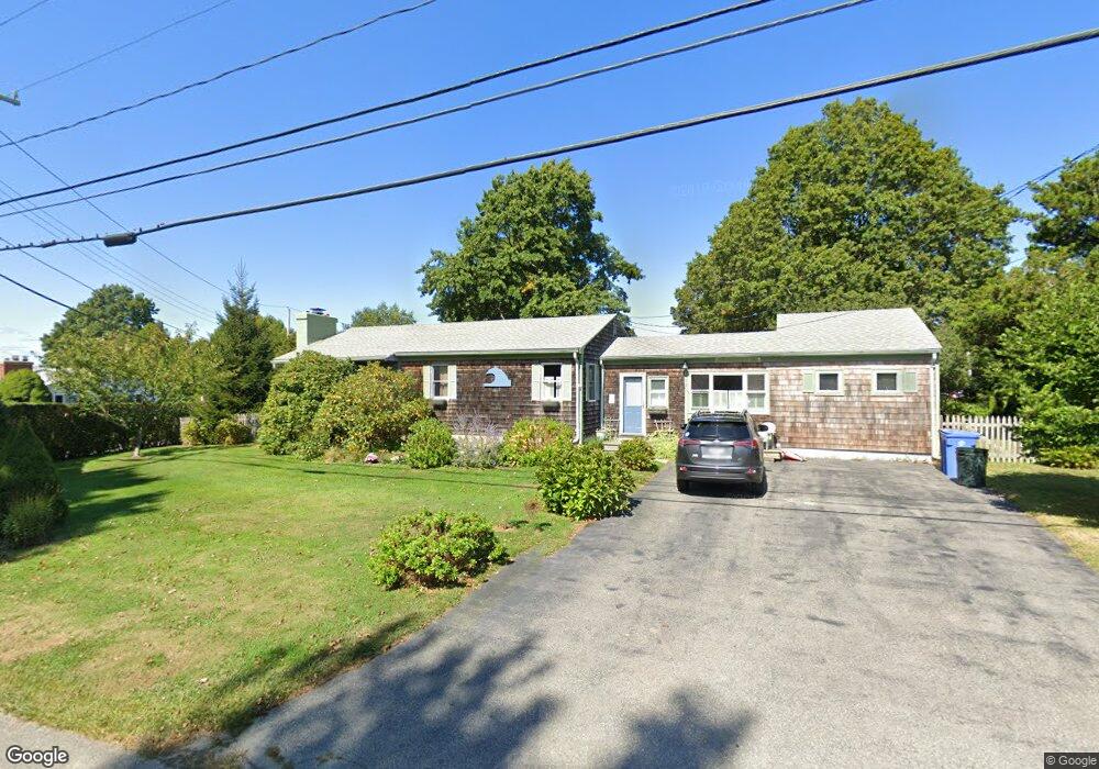
1098 Green End Ave Middletown, RI 02842
Estimated Value: $592,000 - $784,000
3
Beds
1
Bath
1,100
Sq Ft
$632/Sq Ft
Est. Value
About This Home
This home is located at 1098 Green End Ave, Middletown, RI 02842 and is currently estimated at $695,204, approximately $632 per square foot. 1098 Green End Ave is a home located in Newport County with nearby schools including Middletown High School, All Saints STEAM Academy, and St George's School.
Ownership History
Date
Name
Owned For
Owner Type
Purchase Details
Closed on
Sep 28, 2006
Sold by
Beaulieu Diane
Bought by
Vidotto Joseph
Current Estimated Value
Purchase Details
Closed on
Apr 29, 1999
Sold by
Nurak Ronald M and Nurak Linda
Bought by
Beaulieu Diane
Home Financials for this Owner
Home Financials are based on the most recent Mortgage that was taken out on this home.
Original Mortgage
$119,600
Interest Rate
6.95%
Purchase Details
Closed on
Jul 17, 1990
Sold by
Silvia Jesse W
Bought by
Murak Ronald
Home Financials for this Owner
Home Financials are based on the most recent Mortgage that was taken out on this home.
Original Mortgage
$130,900
Interest Rate
10.17%
Create a Home Valuation Report for This Property
The Home Valuation Report is an in-depth analysis detailing your home's value as well as a comparison with similar homes in the area
Home Values in the Area
Average Home Value in this Area
Purchase History
| Date | Buyer | Sale Price | Title Company |
|---|---|---|---|
| Vidotto Joseph | $330,000 | -- | |
| Beaulieu Diane | $149,500 | -- | |
| Murak Ronald | $1,420 | -- |
Source: Public Records
Mortgage History
| Date | Status | Borrower | Loan Amount |
|---|---|---|---|
| Open | Murak Ronald | $75,000 | |
| Previous Owner | Murak Ronald | $122,000 | |
| Previous Owner | Murak Ronald | $119,600 | |
| Previous Owner | Murak Ronald | $130,900 |
Source: Public Records
Tax History Compared to Growth
Tax History
| Year | Tax Paid | Tax Assessment Tax Assessment Total Assessment is a certain percentage of the fair market value that is determined by local assessors to be the total taxable value of land and additions on the property. | Land | Improvement |
|---|---|---|---|---|
| 2025 | $5,552 | $470,900 | $305,300 | $165,600 |
| 2024 | $5,302 | $470,900 | $305,300 | $165,600 |
| 2023 | $3,591 | $285,200 | $157,500 | $127,700 |
| 2022 | $3,428 | $285,200 | $157,500 | $127,700 |
| 2021 | $3,428 | $285,200 | $157,500 | $127,700 |
| 2020 | $3,642 | $264,700 | $137,000 | $127,700 |
| 2018 | $3,640 | $264,700 | $137,000 | $127,700 |
| 2016 | $3,379 | $219,100 | $97,700 | $121,400 |
| 2015 | $3,295 | $219,100 | $97,700 | $121,400 |
| 2014 | $3,685 | $229,300 | $103,600 | $125,700 |
| 2013 | $3,602 | $229,300 | $103,600 | $125,700 |
Source: Public Records
Map
Nearby Homes
- 980 Green End Ave
- 0 Saltwood Dr
- 16 Sachuest Dr
- 119 Corey Ln
- 310 Corey Ln
- 318 Corey Ln
- 223 Corey Ln
- 62 Howland Ave
- 10 Bartlett Rd
- 141 Gray Craig Rd
- 0 Honeyman Ave
- 476 Green End Ave
- 515 Indian Ave
- 0 Wolcott Ave
- 118 Wolcott Ave
- 78 Cornelius Dr
- 55 John Clarke Rd Unit 8
- 55 John Clarke Rd Unit 3
- 162 Center Ave
- 65 Seascape Ave
- 1108 Green End Ave
- 2 Cedar Ave
- 1084 Green End Ave
- 1101 Green End Ave
- 1 Cedar Ave
- 1091 Green End Ave
- 1119 Green End Ave
- 2 Spruce Ave
- 3 Spruce Ave
- 3 Cedar Ave
- 1081 Green End Ave
- 4 Spruce Ave
- 1132 Green End Ave
- 56 Trout Dr
- 5 Cedar Ave
- 1064 Green End Ave
- 6 Cedar Ave
- 50 Trout Dr
- 5 Spruce Ave
- 1125 Green End Ave