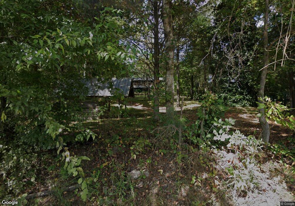
1098 Laurel Rd Carrollton, GA 30117
Estimated Value: $134,000 - $166,000
2
Beds
1
Bath
928
Sq Ft
$158/Sq Ft
Est. Value
About This Home
This home is located at 1098 Laurel Rd, Carrollton, GA 30117 and is currently estimated at $146,887, approximately $158 per square foot. 1098 Laurel Rd is a home located in Carroll County with nearby schools including Central Elementary School, Central Middle School, and Central High School.
Ownership History
Date
Name
Owned For
Owner Type
Purchase Details
Closed on
Nov 4, 2022
Sold by
Lee Amy Elisa
Bought by
Selby June and Lee Amy Elisa
Current Estimated Value
Purchase Details
Closed on
Sep 9, 2022
Sold by
Lee Amy Elisa
Bought by
Lee Amy Elisa and Selby June
Purchase Details
Closed on
Feb 21, 2013
Sold by
Crawford Thomas J
Bought by
Lee Amy Elisa
Home Financials for this Owner
Home Financials are based on the most recent Mortgage that was taken out on this home.
Original Mortgage
$31,600
Interest Rate
3.43%
Mortgage Type
New Conventional
Purchase Details
Closed on
Oct 1, 1987
Bought by
Crawford
Create a Home Valuation Report for This Property
The Home Valuation Report is an in-depth analysis detailing your home's value as well as a comparison with similar homes in the area
Home Values in the Area
Average Home Value in this Area
Purchase History
| Date | Buyer | Sale Price | Title Company |
|---|---|---|---|
| Selby June | -- | -- | |
| Lee Amy Elisa | -- | -- | |
| Lee Amy Elisa | $37,500 | -- | |
| Crawford | $21,000 | -- |
Source: Public Records
Mortgage History
| Date | Status | Borrower | Loan Amount |
|---|---|---|---|
| Previous Owner | Lee Amy Elisa | $31,600 |
Source: Public Records
Tax History Compared to Growth
Tax History
| Year | Tax Paid | Tax Assessment Tax Assessment Total Assessment is a certain percentage of the fair market value that is determined by local assessors to be the total taxable value of land and additions on the property. | Land | Improvement |
|---|---|---|---|---|
| 2024 | $270 | $36,215 | $6,625 | $29,590 |
| 2023 | $253 | $33,705 | $6,626 | $27,079 |
| 2022 | $768 | $26,307 | $4,428 | $21,879 |
| 2021 | $649 | $22,235 | $3,280 | $18,955 |
| 2020 | $591 | $20,235 | $3,280 | $16,955 |
| 2019 | $561 | $19,021 | $3,280 | $15,741 |
| 2018 | $529 | $17,666 | $3,280 | $14,386 |
| 2017 | $532 | $17,666 | $3,280 | $14,386 |
| 2016 | $534 | $17,666 | $3,280 | $14,386 |
| 2015 | $452 | $14,629 | $4,000 | $10,629 |
| 2014 | $454 | $14,629 | $4,000 | $10,629 |
Source: Public Records
Map
Nearby Homes
- 2214 Hays Mill Rd
- 915 Oak Grove Rd
- 533 Buffalo Creek Rd
- 0 Buffalo Creek Rd Unit 10624169
- 1585 Hays Mill Rd
- 2492 Oak Grove Church Rd
- 105 Woodbine Dr
- 345 Piney Grove Rd
- 1250 Hays Mill Rd
- 315 Laurel Rd
- 0 Bonner Rd Unit 10635754
- 400 Stripling Chapel Rd
- 121 Carson Place
- 399 Old Camp Church Rd
- 195 Gold Dust Trail
- 135 Gray Rd
- 116 Manor Way
- 20 Camp Ct
- 1098 Laurel Rd
- 1098 Laurel Rd
- 1098 Laurel Rd
- 1098 Laurel Rd
- 1070 Laurel Rd
- 2265 Hays Mill Rd
- 1058 Laurel Rd
- 1119 Laurel Rd
- 0 Laurel Rd Unit 7131914
- 2278 Hays Mill Rd
- 2207 Hays Mill Rd
- 2187 Hays Mill Rd
- 2339 Hays Mill Rd
- 1030 Laurel Rd
- 2345 Hays Mill Rd
- 1009 Oak Grove Rd
- 945 Oak Grove Rd
- 85 Dogwood Ln
- 979 Oak Grove Rd
- 382 Roy North Rd