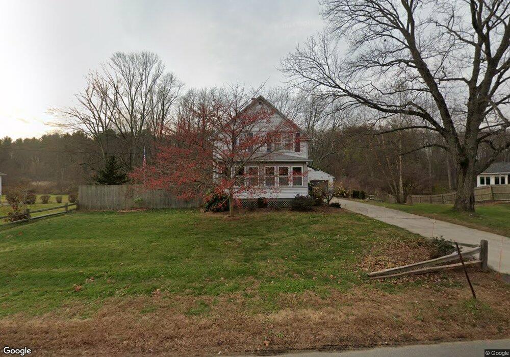
1098 Main St Agawam, MA 01001
Estimated Value: $349,701 - $399,000
3
Beds
2
Baths
1,452
Sq Ft
$259/Sq Ft
Est. Value
About This Home
This home is located at 1098 Main St, Agawam, MA 01001 and is currently estimated at $375,925, approximately $258 per square foot. 1098 Main St is a home located in Hampden County with nearby schools including Agawam Junior High School, Agawam High School, and St Thomas The Apostle School.
Create a Home Valuation Report for This Property
The Home Valuation Report is an in-depth analysis detailing your home's value as well as a comparison with similar homes in the area
Home Values in the Area
Average Home Value in this Area
Tax History Compared to Growth
Tax History
| Year | Tax Paid | Tax Assessment Tax Assessment Total Assessment is a certain percentage of the fair market value that is determined by local assessors to be the total taxable value of land and additions on the property. | Land | Improvement |
|---|---|---|---|---|
| 2025 | $3,944 | $269,400 | $109,700 | $159,700 |
| 2024 | $3,836 | $263,800 | $109,700 | $154,100 |
| 2023 | $3,661 | $232,000 | $90,200 | $141,800 |
| 2022 | $3,402 | $211,200 | $90,200 | $121,000 |
| 2021 | $3,231 | $192,300 | $77,700 | $114,600 |
| 2020 | $3,142 | $186,700 | $76,600 | $110,100 |
| 2019 | $3,010 | $180,800 | $75,100 | $105,700 |
| 2018 | $2,850 | $171,600 | $75,100 | $96,500 |
| 2017 | $2,701 | $165,600 | $75,100 | $90,500 |
| 2016 | $2,679 | $165,600 | $75,100 | $90,500 |
| 2015 | $2,553 | $162,200 | $75,100 | $87,100 |
Source: Public Records
Map
Nearby Homes
- 111 Cottonwood Ln
- 144 Mallard Cir
- 52 Peros Dr
- 869-871 Main St
- 15 B Castle Hills Rd Unit B
- 4H Mapleviewlane Unit 4H
- 20 Castle Hill Rd Unit D
- 25 Castle Hill Rd Unit F
- 25 Castle Hill Rd Unit E
- 0 Silver St
- 4 H Castle Hills Rd Unit H
- 1 Castle Hill Rd Unit D
- 82 West Rd
- 25 Clifton Dr
- 31 Cosgrove Ave
- 48 Cosgrove Ave
- 95 Meadowbrook Rd
- 73 Silver Lake Dr
- 49 Hearthstone Dr
- 64 Woodside Dr