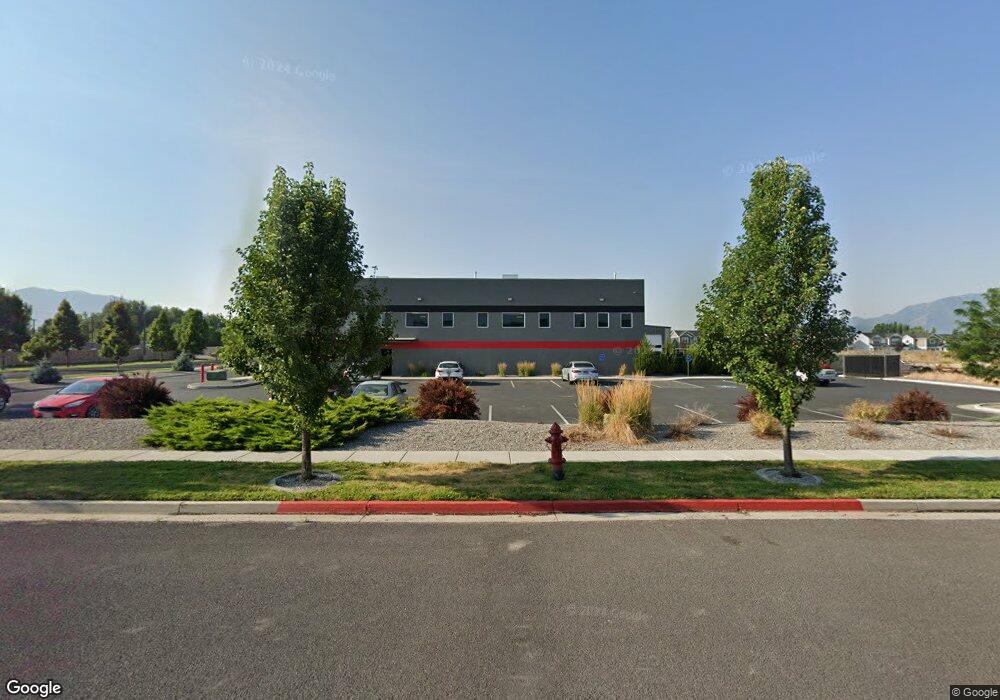
1098 W 130 S Unit 6 Logan, UT 84321
Ellis NeighborhoodEstimated Value: $1,014,000
--
Bed
--
Bath
7,401
Sq Ft
$137/Sq Ft
Est. Value
About This Home
This home is located at 1098 W 130 S Unit 6, Logan, UT 84321 and is currently priced at $1,014,000, approximately $137 per square foot. 1098 W 130 S Unit 6 is a home located in Cache County with nearby schools including Ellis School, Mount Logan Middle School, and Logan High School.
Ownership History
Date
Name
Owned For
Owner Type
Purchase Details
Closed on
Jan 8, 2018
Sold by
4Th North Carsmart Inc
Bought by
Rudie Enterprices Llc
Current Estimated Value
Purchase Details
Closed on
Sep 21, 2016
Sold by
Vrugg Holdings Llc
Bought by
4Th North Carsmart Inc and Aarons Elite Auto Service
Home Financials for this Owner
Home Financials are based on the most recent Mortgage that was taken out on this home.
Original Mortgage
$765,000
Interest Rate
3.43%
Mortgage Type
Construction
Create a Home Valuation Report for This Property
The Home Valuation Report is an in-depth analysis detailing your home's value as well as a comparison with similar homes in the area
Home Values in the Area
Average Home Value in this Area
Purchase History
| Date | Buyer | Sale Price | Title Company |
|---|---|---|---|
| Rudie Enterprices Llc | -- | -- | |
| 4Th North Carsmart Inc | -- | Hickman Land Title | |
| Vrugg Holdings Llc | -- | Hickman Land Title |
Source: Public Records
Mortgage History
| Date | Status | Borrower | Loan Amount |
|---|---|---|---|
| Previous Owner | Vrugg Holdings Llc | $765,000 |
Source: Public Records
Tax History Compared to Growth
Tax History
| Year | Tax Paid | Tax Assessment Tax Assessment Total Assessment is a certain percentage of the fair market value that is determined by local assessors to be the total taxable value of land and additions on the property. | Land | Improvement |
|---|---|---|---|---|
| 2025 | $12,796 | $1,829,770 | $999,702 | $830,068 |
| 2024 | $8,480 | $1,125,269 | $231,194 | $894,075 |
| 2023 | $8,931 | $1,114,260 | $220,185 | $894,075 |
| 2022 | $9,288 | $1,103,775 | $209,700 | $894,075 |
| 2021 | $9,943 | $998,290 | $146,790 | $851,500 |
| 2020 | $10,637 | $998,290 | $146,790 | $851,500 |
| 2019 | $10,914 | $952,390 | $146,790 | $805,600 |
| 2018 | $11,364 | $952,390 | $146,790 | $805,600 |
| 2017 | $4,097 | $326,790 | $0 | $0 |
| 2016 | $4,181 | $125,455 | $0 | $0 |
Source: Public Records
Map
Nearby Homes
- 1177 130 S
- 248 Sunstone Ct
- 1031 W 350 S
- 370 S 1200 W Unit 2
- 1271 W 350 S
- 1099 Three Pointe Ave
- 2399 W 430 S Unit 33
- 1227 W 500 S Unit 151
- 506 S 1225 W
- 518 S 1225 W
- 542 1225 W
- 542 S 1225 W Unit 116
- Hemlock Plan at Sugar Creek - Logan
- Eucalyptus Plan at Sugar Creek - Logan
- Blackberry Plan at Sugar Creek - Logan
- Magnolia Plan at Sugar Creek - Logan
- 1239 W 575 S Unit 152
- 1239 W 575 S
- 501 Southwest St
- 240 N 1375 W Unit 3
- 1098 W 130 S Unit 22
- 1136 W 130 S Unit 21
- 444 S 1080 W Unit 28
- 402 S 1080 W Unit 53
- 1089 130 S Unit 13B
- 1089 130 S Unit 13A
- 1095 W 130 S Unit 5
- 1115 W 130 S Unit 23
- 1152 W 130 St S Unit 20
- 1068 W 130 S Unit 7
- 1077 W 130 S Unit 4
- 1077 W 130 S
- 1135 W 130 S Unit 24
- 1176 W 130 S Unit 19
- 1057 W 130 S Unit 3
- 1057 W 130 S
- 1151 W 130 S Unit 25
- 1130 W 200 S
- 1136 W 200 S
- 1196 W 130 S Unit 18