1098 W Side Rd Block Island, RI 02807
Estimated Value: $1,899,000 - $3,204,000
3
Beds
2
Baths
1,680
Sq Ft
$1,476/Sq Ft
Est. Value
About This Home
This home is located at 1098 W Side Rd, Block Island, RI 02807 and is currently estimated at $2,478,882, approximately $1,475 per square foot. 1098 W Side Rd is a home with nearby schools including Block Island School.
Ownership History
Date
Name
Owned For
Owner Type
Purchase Details
Closed on
Jan 11, 2016
Sold by
Weinstein Arnold L and Weinstein Ann C
Bought by
Weinstein Ann C
Current Estimated Value
Create a Home Valuation Report for This Property
The Home Valuation Report is an in-depth analysis detailing your home's value as well as a comparison with similar homes in the area
Home Values in the Area
Average Home Value in this Area
Purchase History
| Date | Buyer | Sale Price | Title Company |
|---|---|---|---|
| Weinstein Ann C | -- | -- |
Source: Public Records
Mortgage History
| Date | Status | Borrower | Loan Amount |
|---|---|---|---|
| Previous Owner | Weinstein Ann C | $190,000 |
Source: Public Records
Tax History Compared to Growth
Tax History
| Year | Tax Paid | Tax Assessment Tax Assessment Total Assessment is a certain percentage of the fair market value that is determined by local assessors to be the total taxable value of land and additions on the property. | Land | Improvement |
|---|---|---|---|---|
| 2024 | $11,621 | $2,105,300 | $1,698,800 | $406,500 |
| 2023 | $12,674 | $2,105,300 | $1,698,800 | $406,500 |
| 2022 | $12,250 | $1,730,240 | $1,506,800 | $223,440 |
| 2021 | $11,593 | $1,730,240 | $1,506,800 | $223,440 |
| 2020 | $11,004 | $1,730,240 | $1,506,800 | $223,440 |
| 2019 | $10,658 | $1,730,240 | $1,506,800 | $223,440 |
| 2018 | $10,378 | $1,744,160 | $1,506,800 | $237,360 |
| 2017 | $10,221 | $1,744,160 | $1,506,800 | $237,360 |
| 2016 | $9,977 | $1,744,160 | $1,506,800 | $237,360 |
| 2015 | $12,075 | $2,191,400 | $1,883,500 | $307,900 |
| 2014 | $11,702 | $2,191,400 | $1,883,500 | $307,900 |
| 2013 | $11,417 | $2,191,400 | $1,883,500 | $307,900 |
Source: Public Records
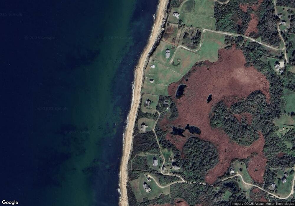
Map
Nearby Homes
- 1596 W Side Rd
- 1557 W Side Rd
- 1210 Graces Cove Rd
- 1328 Cooneymus Rd
- 1501 Beacon Hill Rd
- 0 Coast Guard Rd
- 1087 Lakeside Dr
- 0 Snake Hole Rd
- 1661 Sand Pond Rd
- 1448 Mohegan Trail
- 481 Old Town Rd
- 1035 Mohegan Trail
- 0 Mohegan Trail
- 804 Mohegan Trail
- 194 Pilot Hill Rd
- 256 High St
- 1289 High St
- 1743 Corn Neck Rd
- 0 Pilot Hill Rd
- 1713 Corn Neck Rd
- 965 Dories Cove Rd
- 1542 W Side Rd
- 1217 Dories Cove Rd
- 1581 W Side Rd
- 0 Off Dorries Cove Rd Unit 1312138
- 0 Off Dorries Cove Rd Unit 1311050
- 0 Off Dorries Cove Rd Unit 1229588
- 1560 W Side Rd
- 1219 W Side Rd
- 964 Dory's Cove Rd
- 1452 W Side Rd
- 903 Cooneymus Rd
- 904 Cooneymus Rd
- 1508 Dories Cove Rd
- 864 W Side Rd
- 1132 Cooneymus Rd
- 899 Cooneymus Rd
- 1169 Cooneymus Rd
- 966 Dories Cove Rd
- 966 Dories Cove Rd