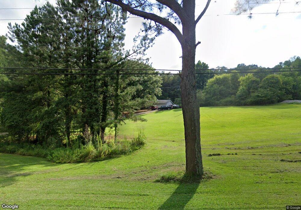
10980 Parsons Rd Duluth, GA 30097
Estimated Value: $429,000 - $685,000
2
Beds
3
Baths
1,452
Sq Ft
$407/Sq Ft
Est. Value
About This Home
This home is located at 10980 Parsons Rd, Duluth, GA 30097 and is currently estimated at $590,446, approximately $406 per square foot. 10980 Parsons Rd is a home located in Fulton County with nearby schools including Medlock Bridge Elementary School, River Trail Middle School, and Northview High School.
Ownership History
Date
Name
Owned For
Owner Type
Purchase Details
Closed on
Oct 30, 2020
Sold by
Komilian Ravid
Bought by
The Ravid Komilian Rev Trust
Current Estimated Value
Purchase Details
Closed on
Dec 29, 2006
Sold by
Barrett Johnnie M
Bought by
Komilian Ravid and Komilian Haleh
Home Financials for this Owner
Home Financials are based on the most recent Mortgage that was taken out on this home.
Original Mortgage
$256,000
Interest Rate
6.1%
Mortgage Type
New Conventional
Create a Home Valuation Report for This Property
The Home Valuation Report is an in-depth analysis detailing your home's value as well as a comparison with similar homes in the area
Home Values in the Area
Average Home Value in this Area
Purchase History
| Date | Buyer | Sale Price | Title Company |
|---|---|---|---|
| The Ravid Komilian Rev Trust | -- | -- | |
| Komilian Ravid | $320,000 | -- |
Source: Public Records
Mortgage History
| Date | Status | Borrower | Loan Amount |
|---|---|---|---|
| Previous Owner | Komilian Ravid | $256,000 |
Source: Public Records
Tax History Compared to Growth
Tax History
| Year | Tax Paid | Tax Assessment Tax Assessment Total Assessment is a certain percentage of the fair market value that is determined by local assessors to be the total taxable value of land and additions on the property. | Land | Improvement |
|---|---|---|---|---|
| 2025 | $4,591 | $152,960 | $81,120 | $71,840 |
| 2023 | $2,299 | $81,440 | $47,400 | $34,040 |
| 2022 | $2,499 | $81,440 | $47,400 | $34,040 |
| 2021 | $4,547 | $92,000 | $47,400 | $44,600 |
| 2020 | $5,185 | $161,080 | $112,800 | $48,280 |
| 2019 | $168 | $42,560 | $20,800 | $21,760 |
| 2018 | $1,355 | $41,600 | $20,320 | $21,280 |
| 2017 | $1,360 | $39,960 | $19,520 | $20,440 |
| 2016 | $1,340 | $39,960 | $19,520 | $20,440 |
| 2015 | $1,355 | $39,960 | $19,520 | $20,440 |
| 2014 | $1,409 | $39,960 | $19,520 | $20,440 |
Source: Public Records
Map
Nearby Homes
- 11041 Parsons Rd
- 11035 Parsons Rd
- 11235 Surrey Park Trail
- 5425 Taylor Rd Unit 2
- 5680 Abbotts Bridge Rd
- 5765 Bailey Ridge Ct
- 5690 Abbotts Bridge Rd
- 11150 Highfield Chase Dr
- 465 Mikasa Dr
- 6365 Murets Rd
- 11260 Donnington Dr
- 130 Wyndlam Ct
- 10595 Highgate Manor Ct
- 5640 Sandown Way
- 10950 Glenhurst Pass
- 5060 Cinnabar Dr
- 5490 Royce Dr
- 5480 Royce Dr
- 5500 Royce Dr
- 5470 Royce Dr
- 125 West Ct
- 10990 Parsons Rd
- 5440 Royce Dr
- 135 West Ct
- 5450 Royce Dr
- 0 West Ct Unit 7286627
- 0 West Ct Unit 8819425
- 0 West Ct Unit 8758598
- 0 West Ct Unit 7567203
- 0 West Ct Unit 3236485
- 5525 Royce Dr
- 145 West Ct
- 0 Royce Dr Unit 8608040
- 0 Royce Dr Unit 8297893
- 0 Royce Dr Unit 8157343
- 0 Royce Dr Unit 7565359
