Estimated Value: $91,039 - $205,000
Studio
--
Bath
1,489
Sq Ft
$94/Sq Ft
Est. Value
About This Home
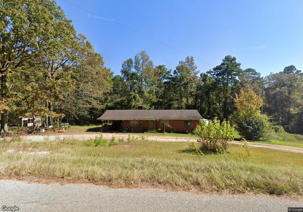
This home is located at 10980 Road 701, Union, MS 39365 and is currently estimated at $140,260, approximately $94 per square foot. 10980 Road 701 is a home.
Ownership History
Date
Name
Owned For
Owner Type
Purchase Details
Closed on
Jul 23, 2009
Sold by
Williams Melissa
Bought by
Williams Melissa
Current Estimated Value
Create a Home Valuation Report for This Property
The Home Valuation Report is an in-depth analysis detailing your home's value as well as a comparison with similar homes in the area
Purchase History
| Date | Buyer | Sale Price | Title Company |
|---|---|---|---|
| Williams Melissa | -- | -- |
Source: Public Records
Tax History
| Year | Tax Paid | Tax Assessment Tax Assessment Total Assessment is a certain percentage of the fair market value that is determined by local assessors to be the total taxable value of land and additions on the property. | Land | Improvement |
|---|---|---|---|---|
| 2025 | $296 | $4,586 | $0 | $0 |
| 2024 | $307 | $4,586 | $0 | $0 |
| 2023 | $354 | $5,037 | $0 | $0 |
| 2022 | $354 | $5,037 | $0 | $0 |
| 2021 | $355 | $5,037 | $0 | $0 |
| 2020 | $345 | $5,038 | $0 | $0 |
| 2019 | $362 | $5,226 | $0 | $0 |
| 2018 | $362 | $5,226 | $0 | $0 |
| 2017 | $351 | $5,226 | $0 | $0 |
| 2016 | $353 | $5,225 | $0 | $0 |
| 2015 | -- | $5,552 | $0 | $0 |
| 2014 | -- | $5,549 | $0 | $0 |
Source: Public Records
Map
Nearby Homes
- 10470 Road 2238
- 10300 Road 286
- 10020 Road 523
- 11211 Road 723
- 4188 Greenland Rd
- 1421 Chesney Town Rd
- 000 Greenland Rd
- Battlefield Road Mt Pleasant Church Rd
- 12061 Highway 21 S
- 0 Mississippi 494
- 0 Mississippi 15
- 10180 Mississippi 19
- 702 E Jackson Rd
- 704 E Jackson Rd
- 201 5th St
- 408 North St
- 4 County Road 444
- 1 County Road 444
- 10221 Mayatt Rd
- 14030 Road 505
Your Personal Tour Guide
Ask me questions while you tour the home.