10985 S Wildcat Rd Molalla, OR 97038
Estimated Value: $604,000 - $778,875
3
Beds
2
Baths
1,754
Sq Ft
$414/Sq Ft
Est. Value
About This Home
This home is located at 10985 S Wildcat Rd, Molalla, OR 97038 and is currently estimated at $725,719, approximately $413 per square foot. 10985 S Wildcat Rd is a home located in Clackamas County with nearby schools including Butte Creek Elementary School and Silverton High School.
Ownership History
Date
Name
Owned For
Owner Type
Purchase Details
Closed on
Sep 7, 2010
Sold by
Prohoroff Tovit J and Prohoroff Sasanna J
Bought by
Glivinski Lance D and Glivinski Mindy E
Current Estimated Value
Home Financials for this Owner
Home Financials are based on the most recent Mortgage that was taken out on this home.
Original Mortgage
$336,300
Outstanding Balance
$221,651
Interest Rate
4.48%
Mortgage Type
New Conventional
Estimated Equity
$504,068
Purchase Details
Closed on
Sep 22, 2000
Sold by
Lance Thea
Bought by
Prohoroff Tovit J and Prohoroff Sasanna J
Home Financials for this Owner
Home Financials are based on the most recent Mortgage that was taken out on this home.
Original Mortgage
$92,500
Interest Rate
8.07%
Mortgage Type
Seller Take Back
Create a Home Valuation Report for This Property
The Home Valuation Report is an in-depth analysis detailing your home's value as well as a comparison with similar homes in the area
Home Values in the Area
Average Home Value in this Area
Purchase History
| Date | Buyer | Sale Price | Title Company |
|---|---|---|---|
| Glivinski Lance D | $354,900 | Ticor Title | |
| Prohoroff Tovit J | $192,500 | Chicago Title |
Source: Public Records
Mortgage History
| Date | Status | Borrower | Loan Amount |
|---|---|---|---|
| Open | Glivinski Lance D | $336,300 | |
| Previous Owner | Prohoroff Tovit J | $92,500 |
Source: Public Records
Tax History Compared to Growth
Tax History
| Year | Tax Paid | Tax Assessment Tax Assessment Total Assessment is a certain percentage of the fair market value that is determined by local assessors to be the total taxable value of land and additions on the property. | Land | Improvement |
|---|---|---|---|---|
| 2025 | $3,119 | $236,418 | -- | -- |
| 2024 | $3,061 | $229,664 | -- | -- |
| 2023 | $3,061 | $223,104 | $0 | $0 |
| 2022 | $2,887 | $216,733 | $0 | $0 |
| 2021 | $2,773 | $210,546 | $0 | $0 |
| 2020 | $2,705 | $204,536 | $0 | $0 |
| 2019 | $2,632 | $198,699 | $0 | $0 |
| 2018 | $2,560 | $193,031 | $0 | $0 |
| 2017 | $2,508 | $187,525 | $0 | $0 |
| 2016 | $5,326 | $182,201 | $0 | $0 |
| 2015 | $1,871 | $138,941 | $0 | $0 |
| 2014 | $1,824 | $135,029 | $0 | $0 |
Source: Public Records
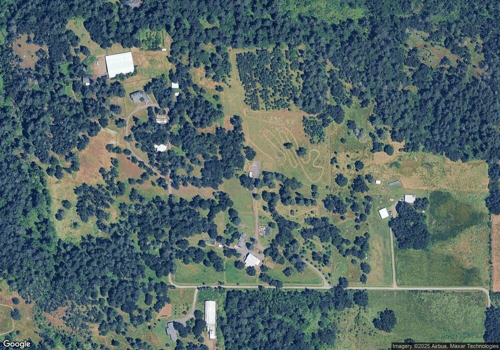
Map
Nearby Homes
- 9924 S Wildcat Rd
- 10285 S Rosewood Way
- 35267 S Acer Ln
- 36175 S Highway 213
- 37658 S Highway 213
- 37486 S Highway 213 (Adj To)
- 37486 S Hwy 213 (Adj To)
- 0 S Wilhoit Rd
- 0 Crooked Finger Rd NE Unit 827344
- 0 Crooked Finger Rd NE Unit 265826977
- 000 Crooked Finger Rd NE
- Lot 1600 Crooked Finger Rd NE
- 0 Off of Crooked Finge Rd
- 7138 Grandview Ave
- 7118 Grandview Ave
- 0 Hazelnut Ridge Rd
- 0 Address Undisclosed NE Unit 834166
- 8438 Cascade Hwy NE
- 36451 S Sawtell Rd Unit 16
- 36451 S Sawtell Rd Unit 10
- 10987 S Wildcat Rd
- 10989 S Wildcat Rd
- 10991 S Wildcat Rd
- 10995 S Wildcat Rd
- 10997 S Wildcat Rd
- 10951 S Wildcat Rd
- 35588 S Highway 213
- 10720 S Wildcat Rd
- 0 S Wildcat Rd Unit 770154
- 0 S Wildcat Rd
- 10299 S Wildcat Rd
- 10509 S Wildcat Rd
- 11151 S Wildcat Rd
- 35564 S Highway 213
- 10700 S Wildcat Rd
- 10626 S Wildcat Rd
- 11331 S Wildcat Rd
- 10380 S Comer Creek Dr
- 10340 S Comer Creek Dr
- 10384 S Comer Creek Dr