10989 Laurel Point Rd Gloucester, VA 23061
Ware Neck NeighborhoodEstimated Value: $725,000 - $929,000
3
Beds
4
Baths
3,269
Sq Ft
$259/Sq Ft
Est. Value
About This Home
This home is located at 10989 Laurel Point Rd, Gloucester, VA 23061 and is currently estimated at $845,903, approximately $258 per square foot. 10989 Laurel Point Rd is a home located in Gloucester County with nearby schools including Botetourt Elementary School, Peasley Middle School, and Gloucester High School.
Ownership History
Date
Name
Owned For
Owner Type
Purchase Details
Closed on
Sep 3, 2020
Sold by
Lofts Richard S and Lofts Loreen L
Bought by
Lofts Richard S and Lofts Loreen Lillehoff
Current Estimated Value
Purchase Details
Closed on
Dec 14, 2015
Sold by
Prosperous Technologies
Bought by
Lofts Richard S and Lofts Loreen L
Home Financials for this Owner
Home Financials are based on the most recent Mortgage that was taken out on this home.
Original Mortgage
$470,000
Outstanding Balance
$371,923
Interest Rate
3.97%
Mortgage Type
New Conventional
Estimated Equity
$473,980
Create a Home Valuation Report for This Property
The Home Valuation Report is an in-depth analysis detailing your home's value as well as a comparison with similar homes in the area
Home Values in the Area
Average Home Value in this Area
Purchase History
| Date | Buyer | Sale Price | Title Company |
|---|---|---|---|
| Lofts Richard S | -- | None Available | |
| Lofts Richard S | $670,000 | Attorney |
Source: Public Records
Mortgage History
| Date | Status | Borrower | Loan Amount |
|---|---|---|---|
| Open | Lofts Richard S | $470,000 |
Source: Public Records
Tax History
| Year | Tax Paid | Tax Assessment Tax Assessment Total Assessment is a certain percentage of the fair market value that is determined by local assessors to be the total taxable value of land and additions on the property. | Land | Improvement |
|---|---|---|---|---|
| 2025 | $4,800 | $781,680 | $312,800 | $468,880 |
| 2024 | $4,800 | $781,680 | $312,800 | $468,880 |
| 2023 | $4,439 | $761,410 | $312,800 | $448,610 |
| 2022 | $4,831 | $666,410 | $254,850 | $411,560 |
| 2021 | $4,632 | $666,410 | $254,850 | $411,560 |
| 2020 | $4,632 | $666,410 | $254,850 | $411,560 |
| 2019 | $4,576 | $658,430 | $254,850 | $403,580 |
| 2017 | $4,576 | $658,430 | $254,850 | $403,580 |
| 2016 | $3,614 | $519,990 | $254,850 | $265,140 |
| 2015 | $3,536 | $508,200 | $218,000 | $290,200 |
| 2014 | $3,303 | $508,200 | $218,000 | $290,200 |
Source: Public Records
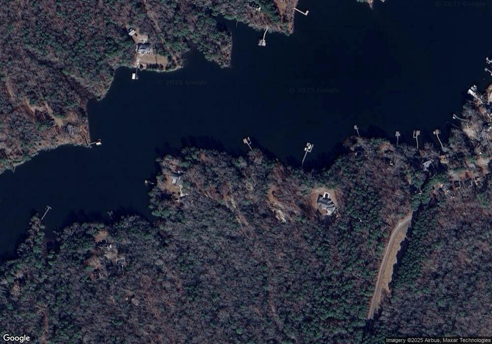
Map
Nearby Homes
- LOT 2 Riverwatch Dr
- 209 Sunset Vista Dr
- 1718 Mariners Woods Dr
- lot 24 Sunset Vista Dr
- 11348 E West Pkwy
- 452 Sunset Vista Dr
- 50 Ridge Rd Unit 7-E
- 9467 Dutton Rd
- 000 Scoggins Creek Trail
- 758 Mariners Woods Dr
- 170 Wading Creek Rd
- 19 Ewellville Ln
- 10114 New Hope Ct
- 9925 Friendship Rd
- 9909 Friendship Rd
- 00 Coachpoint Rd
- 9851 Autumn Woods Ln
- 11802 Deep Point Ln
- 686 Shore Dr
- .51+AC Jenkins Neck Rd
- 10989 Laurel Point Rd
- 11000 Laurel Point Rd
- 10954 Piankatank Dr
- 10962 Piankatank Dr
- 10976 Piankatank Dr
- 11078 Eventide Ln
- 10874 Laurel Point Rd
- 11006 Piankatank Dr
- 11014 Piankatank Dr
- 8310 Warthen Ln
- 8278 Hell Neck Rd
- 8278 Hell Neck Rd
- 11024 Piankatank Dr
- 11015 Piankatank Dr
- 8280 Warthen Ln
- 8318 Warthen Ln
- 11037 Piankatank Dr
- 8346 Warthen Ln
- 11026 Ferry Creek Ave
- 11039 Piankatank Dr
Your Personal Tour Guide
Ask me questions while you tour the home.