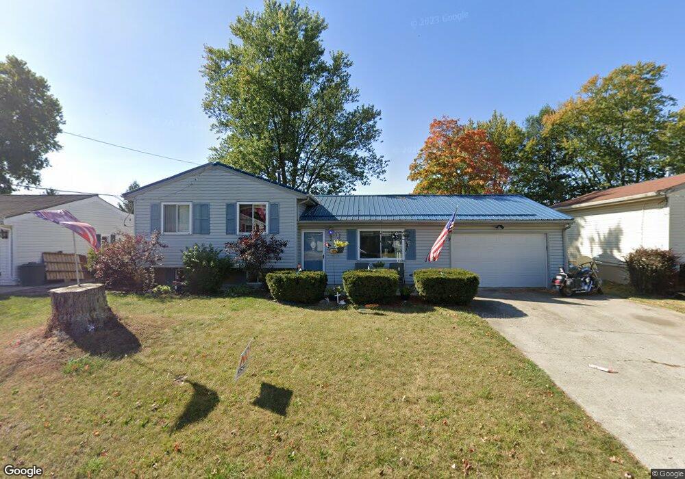
1099 Colonial Ave Marion, OH 43302
Estimated Value: $188,396 - $238,000
3
Beds
2
Baths
1,436
Sq Ft
$146/Sq Ft
Est. Value
About This Home
This home is located at 1099 Colonial Ave, Marion, OH 43302 and is currently estimated at $209,849, approximately $146 per square foot. 1099 Colonial Ave is a home located in Marion County with nearby schools including William McKinley Elementary School, Ulysses S. Grant Middle School, and Harding High School.
Ownership History
Date
Name
Owned For
Owner Type
Purchase Details
Closed on
Aug 31, 2009
Sold by
Tierney Daniel W
Bought by
Tierney Wendy Lou
Current Estimated Value
Purchase Details
Closed on
Feb 12, 2002
Bought by
Tierney Wendy Lou
Purchase Details
Closed on
Oct 18, 2001
Bought by
Tierney Wendy Lou
Purchase Details
Closed on
Oct 20, 1997
Bought by
Tierney Wendy Lou
Purchase Details
Closed on
Dec 30, 1993
Bought by
Tierney Wendy Lou
Create a Home Valuation Report for This Property
The Home Valuation Report is an in-depth analysis detailing your home's value as well as a comparison with similar homes in the area
Home Values in the Area
Average Home Value in this Area
Purchase History
| Date | Buyer | Sale Price | Title Company |
|---|---|---|---|
| Tierney Wendy Lou | -- | Marion Title | |
| Tierney Wendy Lou | -- | -- | |
| Tierney Wendy Lou | -- | -- | |
| Tierney Wendy Lou | -- | -- | |
| Tierney Wendy Lou | $25,000 | -- | |
| Tierney Wendy Lou | $84,000 | -- | |
| Tierney Wendy Lou | $65,500 | -- |
Source: Public Records
Tax History Compared to Growth
Tax History
| Year | Tax Paid | Tax Assessment Tax Assessment Total Assessment is a certain percentage of the fair market value that is determined by local assessors to be the total taxable value of land and additions on the property. | Land | Improvement |
|---|---|---|---|---|
| 2024 | $1,814 | $48,410 | $6,460 | $41,950 |
| 2023 | $1,814 | $48,410 | $6,460 | $41,950 |
| 2022 | $1,681 | $48,410 | $6,460 | $41,950 |
| 2021 | $1,543 | $40,010 | $5,620 | $34,390 |
| 2020 | $1,544 | $40,010 | $5,620 | $34,390 |
| 2019 | $1,543 | $40,010 | $5,620 | $34,390 |
| 2018 | $1,463 | $37,990 | $5,660 | $32,330 |
| 2017 | $1,482 | $37,990 | $5,660 | $32,330 |
| 2016 | $1,475 | $37,990 | $5,660 | $32,330 |
| 2015 | $1,473 | $37,130 | $5,390 | $31,740 |
| 2014 | $1,621 | $37,130 | $5,390 | $31,740 |
| 2012 | $1,536 | $38,410 | $5,170 | $33,240 |
Source: Public Records
Map
Nearby Homes
- 1133 Amherst Dr
- 1406 Plantation Dr
- 950 Oak Grove Ave
- 889 Oak Grove Ave
- 786 Sheridan Rd
- 772 Sheridan Rd
- 0 Bellefontaine Ave
- 796 Woodrow Ave
- 757 Merkle Ave
- 625 Rochelle Dr
- 989 Davids St
- 981 Davids St
- 720 Woodrow Ave
- 472 Clinton St
- 668 Uncapher Ave
- 383 Brentwood Dr
- 645 Henry St
- 681 Davids St
- 1178 Cheney Ave
- 407 Latourette St
- 1089 Colonial Ave
- 1107 Colonial Ave
- 1081 Colonial Ave
- 1115 Colonial Ave
- 1098 Colonial Ave
- 1090 Colonial Ave
- 1106 Colonial Ave
- 1073 Colonial Ave
- 1082 Colonial Ave
- 1116 Colonial Ave
- 1074 Colonial Ave
- 1133 Colonial Ave
- 1124 Colonial Ave
- 1063 Colonial Ave
- 1099 Amherst Dr
- 1089 Amherst Dr
- 1107 Amherst Dr
- 1134 Colonial Ave
- 1064 Colonial Ave
- 1081 Amherst Dr