Estimated Value: $209,000 - $255,000
Studio
--
Bath
1,065
Sq Ft
$216/Sq Ft
Est. Value
About This Home
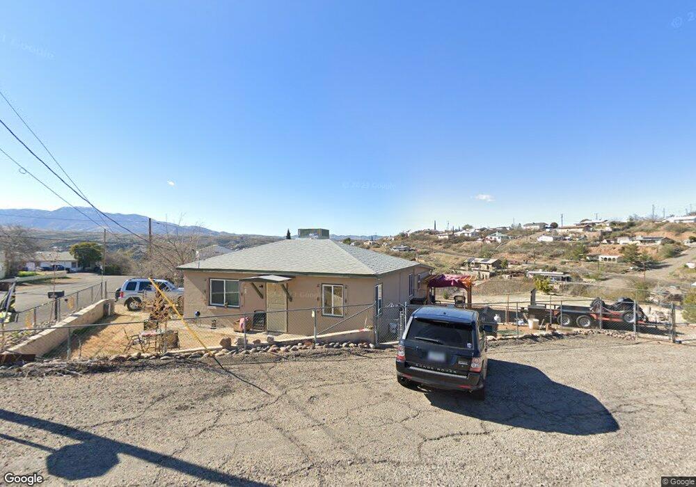
This home is located at 1099 E Cedar St, Globe, AZ 85501 and is currently estimated at $230,160, approximately $216 per square foot. 1099 E Cedar St is a home located in Gila County with nearby schools including Copper Rim Elementary School, High Desert Middle School, and Globe High School.
Ownership History
Date
Name
Owned For
Owner Type
Purchase Details
Closed on
Jul 18, 2022
Sold by
Morris Dennis and Brillhart Deana
Bought by
Newton Patricia Leos
Current Estimated Value
Home Financials for this Owner
Home Financials are based on the most recent Mortgage that was taken out on this home.
Original Mortgage
$202,784
Outstanding Balance
$191,769
Interest Rate
5.23%
Mortgage Type
VA
Estimated Equity
$38,391
Purchase Details
Closed on
Dec 20, 2016
Sold by
Fannie Mae
Bought by
Morris Dennis and Brillhart Deana
Purchase Details
Closed on
Jul 25, 2016
Sold by
Nationstar Mortgage Llc
Bought by
Federal National Mortgage Association
Create a Home Valuation Report for This Property
The Home Valuation Report is an in-depth analysis detailing your home's value as well as a comparison with similar homes in the area
Home Values in the Area
Average Home Value in this Area
Purchase History
| Date | Buyer | Sale Price | Title Company |
|---|---|---|---|
| Newton Patricia Leos | $239,900 | Pioneer Title | |
| Morris Dennis | $45,000 | Lawyers Title Of Arizona | |
| Federal National Mortgage Association | -- | None Available | |
| Nationstar Mortgage Llc | $31,162 | None Available |
Source: Public Records
Mortgage History
| Date | Status | Borrower | Loan Amount |
|---|---|---|---|
| Open | Newton Patricia Leos | $202,784 |
Source: Public Records
Tax History
| Year | Tax Paid | Tax Assessment Tax Assessment Total Assessment is a certain percentage of the fair market value that is determined by local assessors to be the total taxable value of land and additions on the property. | Land | Improvement |
|---|---|---|---|---|
| 2026 | $547 | $15,022 | $967 | $14,055 |
| 2025 | $547 | -- | -- | -- |
| 2024 | $506 | $9,704 | $809 | $8,895 |
| 2023 | $506 | $6,123 | $656 | $5,467 |
| 2022 | $495 | $5,256 | $656 | $4,600 |
| 2021 | $540 | $5,256 | $656 | $4,600 |
| 2020 | $508 | $0 | $0 | $0 |
| 2019 | $501 | $0 | $0 | $0 |
| 2018 | $523 | $0 | $0 | $0 |
| 2017 | $498 | $0 | $0 | $0 |
| 2016 | $77 | $0 | $0 | $0 |
| 2015 | -- | $0 | $0 | $0 |
Source: Public Records
Map
Nearby Homes
- 877 E Sycamore St
- 1320 E Bailey St
- 227 S First St
- 543 E Mesquite St
- 393 S Sixth St
- 501 E Mesquite St
- 1422 E Birch St
- 440 S Fourth St
- 339 N Devereaux St
- 490 S Ninth St
- 0000 Bailey -- Unit 1
- 449 S East St
- 523 E Copper Hills Rd
- 0 Monroe St
- 0 Cottonwood Unit 1806700
- 415 N Hill St
- 258 S Sutherland St
- 741 E Monroe St
- 196 E Cedar St
- 840 N Devereaux St
- 1097 E Cedar St
- 285 N Fifth St
- 1125 E Cedar St
- 201 N Fourth St
- 150 N Fifth St
- 1098 E Mesquite St
- 245 N Fourth St
- 211 N Fifth St
- 151 N Fifth St
- 198 N Fourth St
- 140 N Fifth St
- 129 N Fourth St
- 1100 E Mesquite St
- 265 N Fourth St
- 1145 E Cedar St Unit 1147
- 1145 E Cedar St Unit 1
- 147 N Fifth St
- 127A N Fourth St
- 210 N Sixth St
- 212 N Sixth St
Your Personal Tour Guide
Ask me questions while you tour the home.