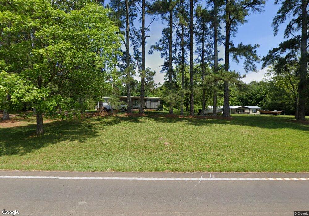
1099 Gumlog Rd Martin, GA 30557
Estimated Value: $62,643 - $341,000
--
Bed
--
Bath
--
Sq Ft
1.71
Acres
About This Home
This home is located at 1099 Gumlog Rd, Martin, GA 30557 and is currently estimated at $238,161. 1099 Gumlog Rd is a home with nearby schools including Stephens County High School, Shepherds Hill Academy, and Shepherd's Hill Academy.
Ownership History
Date
Name
Owned For
Owner Type
Purchase Details
Closed on
Nov 14, 2008
Sold by
Not Provided
Bought by
Thomas John
Current Estimated Value
Home Financials for this Owner
Home Financials are based on the most recent Mortgage that was taken out on this home.
Original Mortgage
$7,000
Interest Rate
6.51%
Mortgage Type
New Conventional
Purchase Details
Closed on
Oct 23, 2000
Bought by
<Buyer Info Not Present>
Purchase Details
Closed on
Apr 1, 1995
Bought by
<Buyer Info Not Present>
Purchase Details
Closed on
Apr 1, 1993
Bought by
<Buyer Info Not Present>
Create a Home Valuation Report for This Property
The Home Valuation Report is an in-depth analysis detailing your home's value as well as a comparison with similar homes in the area
Home Values in the Area
Average Home Value in this Area
Purchase History
| Date | Buyer | Sale Price | Title Company |
|---|---|---|---|
| Thomas John | $32,000 | -- | |
| Thomas John | $32,000 | -- | |
| <Buyer Info Not Present> | $25,000 | -- | |
| <Buyer Info Not Present> | $8,000 | -- | |
| <Buyer Info Not Present> | -- | -- |
Source: Public Records
Mortgage History
| Date | Status | Borrower | Loan Amount |
|---|---|---|---|
| Closed | Thomas John | $7,000 |
Source: Public Records
Tax History Compared to Growth
Tax History
| Year | Tax Paid | Tax Assessment Tax Assessment Total Assessment is a certain percentage of the fair market value that is determined by local assessors to be the total taxable value of land and additions on the property. | Land | Improvement |
|---|---|---|---|---|
| 2024 | $124 | $4,074 | $3,728 | $346 |
| 2023 | $121 | $4,074 | $3,728 | $346 |
| 2022 | $121 | $4,074 | $3,728 | $346 |
| 2021 | $127 | $4,066 | $3,728 | $338 |
| 2020 | $128 | $4,066 | $3,728 | $338 |
| 2019 | $123 | $3,888 | $3,550 | $338 |
| 2018 | $113 | $3,550 | $3,550 | $0 |
| 2016 | $113 | $3,550 | $3,550 | $0 |
Source: Public Records
Map
Nearby Homes
- 18 Webb Rd
- 121 Wilmer Shirley Dr
- 0 Georgia 17
- 574 Oil Mill Rd Unit 6
- 1189 Anderson Thomas Rd Unit 6
- 538 Oil Mill Rd Unit 8
- 2230 Tower Rd
- 1380 Anderson Thomas Rd
- 280 Grady Brock Rd Unit LOT 21
- 300 Grady Brock Rd Unit 20
- 312 Grady Brock Rd Unit 19
- 556 Oil Mill Rd Unit 7
- 0 Herron Rd Unit 14382283
- 0 Anderson Thomas Rd Unit 10614737
- 22 Anderson Thomas Rd
- 2355 Price Rd
- 1931 Seven Forks Rd Unit Tract 5B
- 1120 Combs Ave
- 160 Whitworth Cir
- 1873 Price Rd
- 1043 Gumlog Rd
- 1236 Gumlog Rd
- 1239 Gumlog Rd
- 266 N Martin Dr
- 294 Banks St
- 67 Cottonwood Ct
- 972 Gumlog Rd
- 131 Currahee Point
- 92 Hurricane Grove Rd
- 845 Gumlog Rd
- 820 Gumlog Rd
- 1504 Gumlog Rd
- 739 Gumlog Rd
- 686 Gumlog Rd
- 210 Hurricane Grove Rd
- 640 Gumlog Rd
- 1617 Gumlog Rd
- 240 Hurricane Grove Rd
- 748 N Martin Dr
- 696 Martin Dr