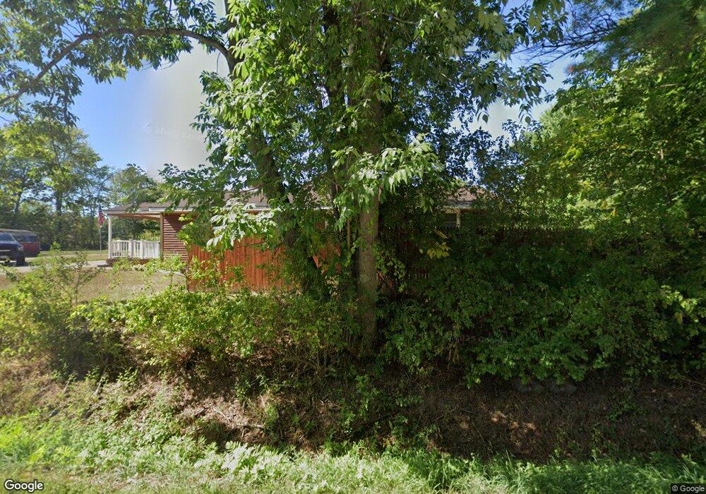
1099 Us Route 1 Freeport, ME 04032
Estimated Value: $544,000 - $664,000
3
Beds
2
Baths
2,332
Sq Ft
$252/Sq Ft
Est. Value
About This Home
This home is located at 1099 Us Route 1, Freeport, ME 04032 and is currently estimated at $587,776, approximately $252 per square foot. 1099 Us Route 1 is a home located in Cumberland County with nearby schools including Morse Street School, Mast Landing School, and Freeport Middle School.
Ownership History
Date
Name
Owned For
Owner Type
Purchase Details
Closed on
Oct 31, 2005
Sold by
Dean Ruth E
Bought by
Heatley Tonya M and Heatley Frank D
Current Estimated Value
Home Financials for this Owner
Home Financials are based on the most recent Mortgage that was taken out on this home.
Original Mortgage
$100,000
Outstanding Balance
$52,307
Interest Rate
5.79%
Mortgage Type
Purchase Money Mortgage
Estimated Equity
$535,469
Create a Home Valuation Report for This Property
The Home Valuation Report is an in-depth analysis detailing your home's value as well as a comparison with similar homes in the area
Home Values in the Area
Average Home Value in this Area
Purchase History
| Date | Buyer | Sale Price | Title Company |
|---|---|---|---|
| Heatley Tonya M | -- | -- |
Source: Public Records
Mortgage History
| Date | Status | Borrower | Loan Amount |
|---|---|---|---|
| Open | Heatley Tonya M | $100,000 |
Source: Public Records
Tax History
| Year | Tax Paid | Tax Assessment Tax Assessment Total Assessment is a certain percentage of the fair market value that is determined by local assessors to be the total taxable value of land and additions on the property. | Land | Improvement |
|---|---|---|---|---|
| 2025 | $5,793 | $418,300 | $149,000 | $269,300 |
| 2024 | $5,490 | $411,200 | $141,900 | $269,300 |
| 2023 | $4,983 | $362,400 | $129,000 | $233,400 |
| 2022 | $4,757 | $348,500 | $115,100 | $233,400 |
| 2021 | $4,652 | $348,500 | $115,100 | $233,400 |
| 2020 | $4,570 | $326,400 | $106,600 | $219,800 |
| 2019 | $4,439 | $310,400 | $100,600 | $209,800 |
| 2018 | $1,874 | $288,200 | $94,000 | $194,200 |
| 2017 | $4,141 | $277,000 | $91,800 | $185,200 |
| 2016 | $4,059 | $256,900 | $85,000 | $171,900 |
| 2015 | $4,062 | $241,800 | $80,800 | $161,000 |
| 2014 | $3,820 | $241,800 | $80,800 | $161,000 |
| 2013 | $3,869 | $244,100 | $80,800 | $163,300 |
Source: Public Records
Map
Nearby Homes
- 1096 Us Route 1
- 0 Upper Mast Landing
- 1094 Us Route 1
- 1085 Us Route 1
- 1085 U S Route One
- 20 Noble Dr
- 3 Wood Thrush Ln
- 0 Us Route 1 (North) Unit 1292882
- 2 Wood Thrush Ln
- TBD Us Route One Route
- 5 Upper Mast Landing Rd
- 1118 Us Route 1
- 1077 Us Route 1
- 0 Us Route One Route Unit 1294604
- 24 Noble Dr
- 1131 Us Route 1
- 2 Artemis Way
- 9 Upper Mast Landing Rd
- 4 Artemis Way
- 6 Artemis Way
Your Personal Tour Guide
Ask me questions while you tour the home.