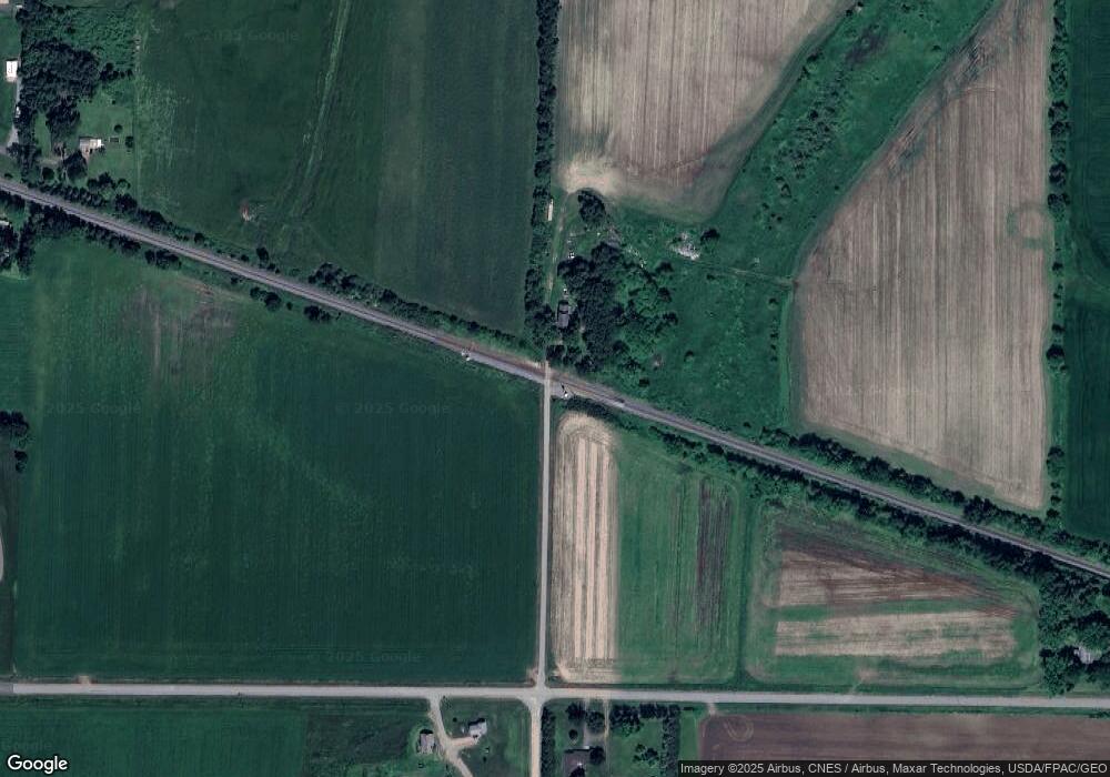
10990 S Rondivoo Rd Marshfield, WI 54449
Estimated Value: $148,730 - $420,000
--
Bed
--
Bath
--
Sq Ft
20
Acres
About This Home
This home is located at 10990 S Rondivoo Rd, Marshfield, WI 54449 and is currently estimated at $304,243. 10990 S Rondivoo Rd is a home with nearby schools including Marshfield High School.
Ownership History
Date
Name
Owned For
Owner Type
Purchase Details
Closed on
Jan 24, 2007
Sold by
Breu Donna M
Bought by
Breu Daniel and Breu Lisa
Current Estimated Value
Home Financials for this Owner
Home Financials are based on the most recent Mortgage that was taken out on this home.
Original Mortgage
$80,000
Interest Rate
6.24%
Mortgage Type
Purchase Money Mortgage
Purchase Details
Closed on
Dec 28, 2006
Sold by
Breu Donna M
Bought by
Breu Daniel and Breu Lisa
Home Financials for this Owner
Home Financials are based on the most recent Mortgage that was taken out on this home.
Original Mortgage
$80,000
Interest Rate
6.24%
Mortgage Type
Purchase Money Mortgage
Create a Home Valuation Report for This Property
The Home Valuation Report is an in-depth analysis detailing your home's value as well as a comparison with similar homes in the area
Home Values in the Area
Average Home Value in this Area
Purchase History
| Date | Buyer | Sale Price | Title Company |
|---|---|---|---|
| Breu Daniel | -- | None Available | |
| Breu Daniel | $80,000 | Badger Title Llc |
Source: Public Records
Mortgage History
| Date | Status | Borrower | Loan Amount |
|---|---|---|---|
| Previous Owner | Breu Daniel | $80,000 |
Source: Public Records
Tax History Compared to Growth
Tax History
| Year | Tax Paid | Tax Assessment Tax Assessment Total Assessment is a certain percentage of the fair market value that is determined by local assessors to be the total taxable value of land and additions on the property. | Land | Improvement |
|---|---|---|---|---|
| 2024 | $578 | $46,500 | $23,300 | $23,200 |
| 2023 | $509 | $46,500 | $23,300 | $23,200 |
| 2022 | $570 | $46,100 | $22,900 | $23,200 |
| 2021 | $1,485 | $74,800 | $19,800 | $55,000 |
| 2020 | $1,449 | $74,800 | $19,800 | $55,000 |
| 2019 | $1,422 | $74,800 | $19,800 | $55,000 |
| 2018 | $1,399 | $74,700 | $19,700 | $55,000 |
| 2017 | $1,397 | $74,700 | $19,700 | $55,000 |
| 2016 | $1,378 | $74,700 | $19,700 | $55,000 |
| 2015 | $1,406 | $74,700 | $19,700 | $55,000 |
Source: Public Records
Map
Nearby Homes
- 7610 Apple Ln
- 10916 W 1st St
- 10758 W 9th St
- 7947 Victoria Ct
- 10846 W 11th St
- 10477 County Road A Unit Parcels 0300051,0300
- 2104 S Cottonwood Ave
- 2101 S Ironwood Ave
- 2502 E Fillmore St
- 8483 County Road Y
- 500 N Auburn Ave
- 2204 S Ironwood Ave
- 1507 Green Acres Dr
- 2105 S Ironwood Ave
- 1416 E 20th St
- 1415 E 20th St
- 1513 E 20th St
- 1609 E 21st St
- 1701 E 21st St
- 1509-1511 N Hume Ave
- 7100 Yellowstone Dr
- 7050 Yellowstone Dr
- 7197 Yellowstone Dr
- 7497 Yellowstone Dr
- 7592 Apple Ln
- 7390 Yellowstone Dr
- 7608 Butternut Ln
- 7607 Birch Ln
- 7605 Mclean Dr
- 7623 Butternut Ln
- 7610 Mclean Dr
- 7615 Mclean Dr
- 7630 Maple Ln
- 11038 Cedar St
- 7639 Butternut Ln
- 11029 Cedar St
- 7623 Mclean Dr
- 11037 Cedar St
- 11043 Cedar St
- 7624 Mclean Dr
