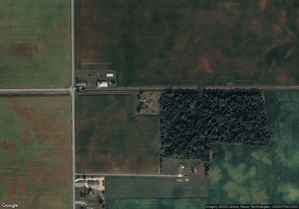
10992 Ashburn Rd Wapakoneta, OH 45895
Estimated Value: $326,000 - $455,776
4
Beds
3
Baths
2,152
Sq Ft
$178/Sq Ft
Est. Value
About This Home
This home is located at 10992 Ashburn Rd, Wapakoneta, OH 45895 and is currently estimated at $382,194, approximately $177 per square foot. 10992 Ashburn Rd is a home located in Auglaize County with nearby schools including Wapakoneta Elementary School, Wapakoneta High School, and Wapakoneta Middle School.
Ownership History
Date
Name
Owned For
Owner Type
Purchase Details
Closed on
May 30, 2025
Sold by
Hendrixson Thomas H and Hendrixson Diane L
Bought by
Stinebaugh Dawn Renea
Current Estimated Value
Purchase Details
Closed on
Jul 2, 1998
Sold by
Rolston Eric M
Bought by
Hendrixson Thomas H
Purchase Details
Closed on
Jun 16, 1997
Sold by
Helmlinger David G
Bought by
Rolston Eric M
Purchase Details
Closed on
Apr 28, 1995
Bought by
Helmlinger David G
Create a Home Valuation Report for This Property
The Home Valuation Report is an in-depth analysis detailing your home's value as well as a comparison with similar homes in the area
Home Values in the Area
Average Home Value in this Area
Purchase History
| Date | Buyer | Sale Price | Title Company |
|---|---|---|---|
| Stinebaugh Dawn Renea | -- | None Listed On Document | |
| Stinebaugh Dawn Renea | -- | None Listed On Document | |
| Hendrixson Thomas H | $35,000 | -- | |
| Rolston Eric M | $18,000 | -- | |
| Helmlinger David G | $14,500 | -- |
Source: Public Records
Tax History Compared to Growth
Tax History
| Year | Tax Paid | Tax Assessment Tax Assessment Total Assessment is a certain percentage of the fair market value that is determined by local assessors to be the total taxable value of land and additions on the property. | Land | Improvement |
|---|---|---|---|---|
| 2024 | $5,775 | $113,010 | $31,820 | $81,190 |
| 2023 | $3,828 | $113,010 | $31,820 | $81,190 |
| 2022 | $3,285 | $89,480 | $25,460 | $64,020 |
| 2021 | $3,280 | $89,480 | $25,460 | $64,020 |
| 2020 | $1,647 | $89,478 | $25,459 | $64,019 |
| 2019 | $2,736 | $75,191 | $21,392 | $53,799 |
| 2018 | $2,752 | $75,191 | $21,392 | $53,799 |
| 2017 | $2,772 | $75,191 | $21,392 | $53,799 |
| 2016 | $2,566 | $70,133 | $20,377 | $49,756 |
| 2015 | $2,523 | $70,133 | $20,377 | $49,756 |
| 2014 | $2,537 | $70,133 | $20,377 | $49,756 |
| 2013 | $2,647 | $70,133 | $20,377 | $49,756 |
Source: Public Records
Map
Nearby Homes