10997 Hank Sargent Rd Prairie Grove, AR 72753
Estimated Value: $365,682 - $461,000
--
Bed
3
Baths
2,365
Sq Ft
$173/Sq Ft
Est. Value
About This Home
This home is located at 10997 Hank Sargent Rd, Prairie Grove, AR 72753 and is currently estimated at $409,227, approximately $173 per square foot. 10997 Hank Sargent Rd is a home located in Washington County with nearby schools including Prairie Grove Elementary School, Prairie Grove Middle School, and Prairie Grove Junior High School.
Ownership History
Date
Name
Owned For
Owner Type
Purchase Details
Closed on
Nov 29, 2023
Sold by
Young William L and Young Rachel S
Bought by
Bill And Rachel Young Living Trust and Young
Current Estimated Value
Purchase Details
Closed on
Jan 1, 1985
Bought by
Young William L and Young Rachel S
Create a Home Valuation Report for This Property
The Home Valuation Report is an in-depth analysis detailing your home's value as well as a comparison with similar homes in the area
Home Values in the Area
Average Home Value in this Area
Purchase History
| Date | Buyer | Sale Price | Title Company |
|---|---|---|---|
| Bill And Rachel Young Living Trust | -- | None Listed On Document | |
| Young William L | -- | -- |
Source: Public Records
Tax History Compared to Growth
Tax History
| Year | Tax Paid | Tax Assessment Tax Assessment Total Assessment is a certain percentage of the fair market value that is determined by local assessors to be the total taxable value of land and additions on the property. | Land | Improvement |
|---|---|---|---|---|
| 2025 | $392 | $43,930 | $9,950 | $33,980 |
| 2024 | $504 | $43,930 | $9,950 | $33,980 |
| 2023 | $647 | $44,670 | $10,690 | $33,980 |
| 2022 | $766 | $32,390 | $6,450 | $25,940 |
| 2021 | $766 | $32,390 | $6,450 | $25,940 |
| 2020 | $766 | $32,390 | $6,450 | $25,940 |
| 2019 | $768 | $26,820 | $5,510 | $21,310 |
| 2018 | $793 | $26,820 | $5,510 | $21,310 |
| 2017 | $732 | $26,820 | $5,510 | $21,310 |
| 2016 | $782 | $26,820 | $5,510 | $21,310 |
| 2015 | $782 | $26,820 | $5,510 | $21,310 |
| 2014 | $770 | $21,980 | $5,370 | $16,610 |
Source: Public Records
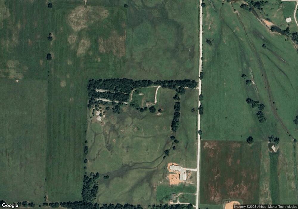
Map
Nearby Homes
- 11327 Gibb Whitmire Rd
- 0 Gibb Whitmore Rd
- 15893 Bethel Blacktop Rd
- 1601 Affirmed Ln
- 10714 Viney Grove Rd
- 10591 Viney Grove Rd
- 1745 Viney Grove Rd
- 14806 West Rd
- 1498 Viney Grove Rd
- 261 Hearthstone Cir
- 812 Cedar Ln
- 807 Maple St
- 1042 Vista Ave
- 581 Crystal Dr
- DENTON Plan at Hudson Heights
- GARLAND Plan at Hudson Heights
- EUREKA Plan at Hudson Heights
- DEAN Plan at Hudson Heights
- KINGSTON Plan at Hudson Heights
- 1021 Vista Ave
- 10875 Hank Sargent Rd
- 11001 Hank Sargent Rd
- 10840 Hank Sargent Rd
- 5.17 Ac Co Rd 621
- 0 Hank Sargent Rd
- 10686 Hank Sargent Rd
- 15821 W Battlefield Park Rd
- 10591 Hank Sargent Rd
- 10596 Hank Sargent Rd
- 16376 W Battlefield Park Rd
- 11335 Gibb Whitmire Rd
- 10521 Hank Sargent Rd
- 15630 W Battlefield Park Rd
- 10429 Hank Sargent Rd
- 15466 Blackburn Rd
- 11521 Gibb Whitmire Rd
- 10380 Hank Sargent Rd
- 16499 W Battlefield Park Rd
- 15608 W Battlefield Park Rd
- 15482 Blackburn Rd