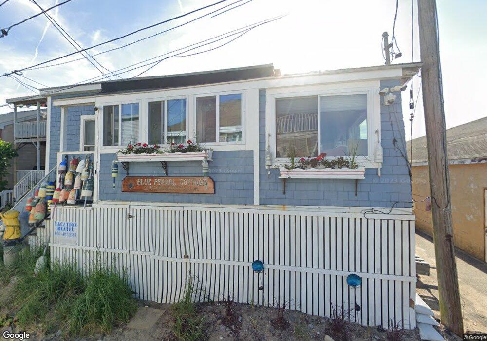
10A Eastern Ave Unit 10A Saco, ME 04072
Ferry Beach NeighborhoodEstimated Value: $350,523 - $507,000
2
Beds
1
Bath
624
Sq Ft
$666/Sq Ft
Est. Value
About This Home
This home is located at 10A Eastern Ave Unit 10A, Saco, ME 04072 and is currently estimated at $415,881, approximately $666 per square foot. 10A Eastern Ave Unit 10A is a home located in York County with nearby schools including C K Burns School, Saco Middle School, and Florence Lombard Christian School.
Ownership History
Date
Name
Owned For
Owner Type
Purchase Details
Closed on
May 8, 2007
Sold by
Pratt Christine R and Pratt James L
Bought by
Kasabuski William R
Current Estimated Value
Home Financials for this Owner
Home Financials are based on the most recent Mortgage that was taken out on this home.
Original Mortgage
$112,000
Interest Rate
6.23%
Mortgage Type
Unknown
Create a Home Valuation Report for This Property
The Home Valuation Report is an in-depth analysis detailing your home's value as well as a comparison with similar homes in the area
Home Values in the Area
Average Home Value in this Area
Purchase History
| Date | Buyer | Sale Price | Title Company |
|---|---|---|---|
| Kasabuski William R | -- | -- | |
| Kasabuski William R | -- | -- |
Source: Public Records
Mortgage History
| Date | Status | Borrower | Loan Amount |
|---|---|---|---|
| Open | Kasabuski William R | $128,167 | |
| Closed | Kasabuski William R | $131,200 | |
| Previous Owner | Kasabuski William R | $112,000 |
Source: Public Records
Tax History
| Year | Tax Paid | Tax Assessment Tax Assessment Total Assessment is a certain percentage of the fair market value that is determined by local assessors to be the total taxable value of land and additions on the property. | Land | Improvement |
|---|---|---|---|---|
| 2024 | $3,047 | $216,900 | $132,100 | $84,800 |
| 2023 | $3,199 | $216,900 | $132,100 | $84,800 |
| 2022 | $2,927 | $159,700 | $100,600 | $59,100 |
| 2021 | $2,666 | $141,200 | $96,500 | $44,700 |
| 2020 | $2,604 | $132,400 | $92,300 | $40,100 |
| 2019 | $2,566 | $132,400 | $92,300 | $40,100 |
| 2018 | $2,402 | $128,200 | $88,100 | $40,100 |
| 2017 | $2,455 | $126,700 | $80,100 | $46,600 |
| 2016 | $2,402 | $123,700 | $78,200 | $45,500 |
| 2015 | $2,378 | $123,700 | $78,200 | $45,500 |
| 2014 | $2,303 | $123,700 | $78,200 | $45,500 |
| 2013 | -- | $123,700 | $78,200 | $45,500 |
Source: Public Records
Map
Nearby Homes
- 9 Riverside Ave
- 1 Main Ave
- 10 Lower Beach Rd
- 1 Willow Ridge
- 46 Ferry Ln
- 125 Hills Beach Rd
- 8 Days Landing
- 650 Pool St
- 625 Pool St
- 88-90 Old Pool Rd
- 280 Seaside Ave
- 3 Walker Dr Unit 101
- 4 Walker Dr Unit 101
- 3 Walker Dr Unit 101
- 30 Vines Rd
- TBD 530 Ferry Rd
- 700 Pool St
- 295 Ferry Rd
- 99 Mile Stretch Rd
- 111 Mile Stretch Rd
- 10 Eastern Ave
- 14A Eastern Ave Unit 14A
- 10-A Eastern Unit 2
- 16 Eastern Ave
- 14 Eastern Ave
- 10 Eastern Ave
- 10A Eastern Ave Unit 2
- 21 North Ave Unit 9
- 12 Eastern Ave
- 10 & 10A Eastern Ave
- 19 North Ave
- Lot B North
- 25 North Ave
- 11 Eastern Ave
- 13 Eastern Ave
- 0 Pearl Corner of Pleasant Unit 953542
- 27 North Ave
- 1 Eastern Ave
- 26 North Ave
- 24 North Ave
Your Personal Tour Guide
Ask me questions while you tour the home.