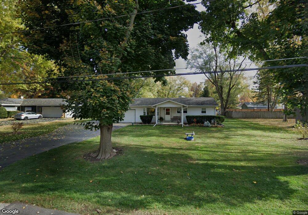
10N819 S Airlite St Elgin, IL 60123
College Park McIntosh NeighborhoodEstimated Value: $331,000 - $367,000
3
Beds
2
Baths
1,425
Sq Ft
$247/Sq Ft
Est. Value
About This Home
This home is located at 10N819 S Airlite St, Elgin, IL 60123 and is currently estimated at $352,571, approximately $247 per square foot. 10N819 S Airlite St is a home located in Kane County with nearby schools including Hillcrest Elementary School, Abbott Middle School, and Larkin High School.
Ownership History
Date
Name
Owned For
Owner Type
Purchase Details
Closed on
Jul 28, 1995
Sold by
Schumann Steven C and Schumann Charlene A
Bought by
Thompson Laun and Thompson Mary
Current Estimated Value
Home Financials for this Owner
Home Financials are based on the most recent Mortgage that was taken out on this home.
Original Mortgage
$104,000
Interest Rate
7.43%
Create a Home Valuation Report for This Property
The Home Valuation Report is an in-depth analysis detailing your home's value as well as a comparison with similar homes in the area
Home Values in the Area
Average Home Value in this Area
Purchase History
| Date | Buyer | Sale Price | Title Company |
|---|---|---|---|
| Thompson Laun | $134,000 | Chicago Title Insurance Co |
Source: Public Records
Mortgage History
| Date | Status | Borrower | Loan Amount |
|---|---|---|---|
| Closed | Thompson Laun | $104,000 |
Source: Public Records
Tax History Compared to Growth
Tax History
| Year | Tax Paid | Tax Assessment Tax Assessment Total Assessment is a certain percentage of the fair market value that is determined by local assessors to be the total taxable value of land and additions on the property. | Land | Improvement |
|---|---|---|---|---|
| 2024 | $3,698 | $94,995 | $25,448 | $69,547 |
| 2023 | $3,930 | $85,820 | $22,990 | $62,830 |
| 2022 | $4,431 | $78,253 | $20,963 | $57,290 |
| 2021 | $4,486 | $73,161 | $19,599 | $53,562 |
| 2020 | $4,572 | $69,843 | $18,710 | $51,133 |
| 2019 | $4,640 | $66,529 | $17,822 | $48,707 |
| 2018 | $4,229 | $62,674 | $16,789 | $45,885 |
| 2017 | $4,716 | $59,250 | $15,872 | $43,378 |
| 2016 | $4,485 | $54,968 | $14,725 | $40,243 |
| 2015 | -- | $50,383 | $13,497 | $36,886 |
| 2014 | -- | $49,761 | $13,330 | $36,431 |
| 2013 | -- | $51,074 | $13,682 | $37,392 |
Source: Public Records
Map
Nearby Homes
- 10N980 Hawthorne St
- 252 Nautical Way Unit 7C
- 475 S Belmont Ave Unit 1
- 2366 South St Unit F
- 005 South St
- 1-11 South St
- 140 S Lyle Ave
- 11N312 Gale St
- 500 S Randall Rd
- 92 N Airlite St
- 40 Acres Randall Rd
- 1560 Pamela Dr
- 1996 College Green Dr
- 2038 College Green Dr
- 186 Westgate Dr
- 761 Verde Vista Ct Unit 611F
- 70 S Weston Ave
- 780 Mesa Dr Unit 354F
- 1705 College Green Dr Unit 2
- 219 Brookside Dr
- 10N829 S Airlite St
- 10N849 S Airlite St
- 10N830 S Airlite St
- 10N786 S Airlite St
- 36W346 South St
- 36W322 South St
- 10N852 S Airlite St
- 10N873 S Airlite St
- 36W300 South St
- 10N889 S Airlite St
- 2140 South St
- 2077 South St
- 2067 South St
- 2087 South St
- 36W280 South St
- 2057 South St
- 2105 South St
- 10N802 Belmont St
- 10N899 S Airlite St
- 10N794 Belmont St