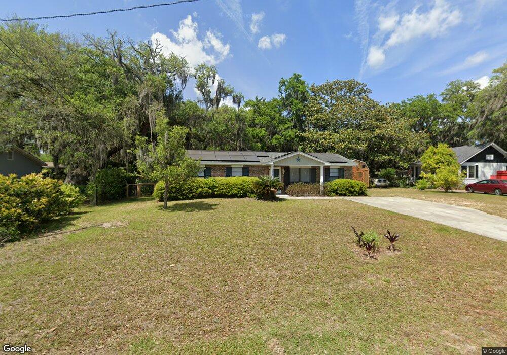
10th 808 10th St Port Royal, SC 29935
Estimated Value: $370,000 - $440,705
1
Bed
1
Bath
889
Sq Ft
$467/Sq Ft
Est. Value
About This Home
This home is located at 10th 808 10th St, Port Royal, SC 29935 and is currently estimated at $414,926, approximately $466 per square foot. 10th 808 10th St is a home located in Beaufort County with nearby schools including Port Royal Elementary School, Beaufort Middle School, and Beaufort High School.
Ownership History
Date
Name
Owned For
Owner Type
Purchase Details
Closed on
May 22, 2023
Sold by
Lovett David A
Bought by
Lovett David A and Mills Tracy J
Current Estimated Value
Purchase Details
Closed on
Mar 11, 2023
Sold by
Susan L Levin Joint Revocable Trust
Bought by
Lovett David A
Home Financials for this Owner
Home Financials are based on the most recent Mortgage that was taken out on this home.
Original Mortgage
$375,300
Interest Rate
6.32%
Mortgage Type
New Conventional
Purchase Details
Closed on
May 9, 2016
Sold by
Rentz Leland Carson
Bought by
Levin Jeremey and Levin Susan L
Create a Home Valuation Report for This Property
The Home Valuation Report is an in-depth analysis detailing your home's value as well as a comparison with similar homes in the area
Home Values in the Area
Average Home Value in this Area
Purchase History
| Date | Buyer | Sale Price | Title Company |
|---|---|---|---|
| Lovett David A | -- | None Listed On Document | |
| Lovett David A | -- | None Listed On Document | |
| Lovett David A | $417,000 | -- | |
| Levin Jeremey | $125,000 | Attorney |
Source: Public Records
Mortgage History
| Date | Status | Borrower | Loan Amount |
|---|---|---|---|
| Previous Owner | Lovett David A | $375,300 |
Source: Public Records
Tax History Compared to Growth
Tax History
| Year | Tax Paid | Tax Assessment Tax Assessment Total Assessment is a certain percentage of the fair market value that is determined by local assessors to be the total taxable value of land and additions on the property. | Land | Improvement |
|---|---|---|---|---|
| 2024 | $2,934 | $9,920 | $0 | $0 |
| 2023 | $2,934 | $9,920 | $0 | $0 |
| 2022 | $2,636 | $8,630 | $0 | $0 |
| 2021 | $2,602 | $8,630 | $0 | $0 |
| 2020 | $2,531 | $8,630 | $0 | $0 |
| 2019 | $2,501 | $8,630 | $0 | $0 |
| 2018 | $2,398 | $8,630 | $0 | $0 |
| 2017 | $2,160 | $7,500 | $0 | $0 |
| 2016 | $1,995 | $7,090 | $0 | $0 |
| 2014 | $1,589 | $7,090 | $0 | $0 |
Source: Public Records
Map
Nearby Homes