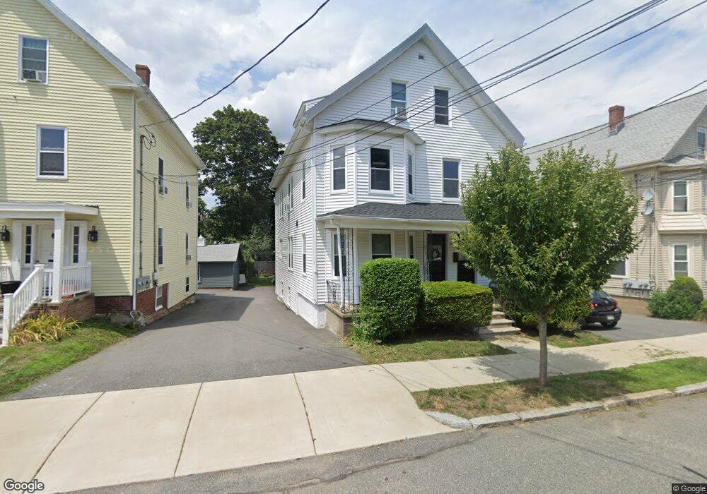
11 1/2 Winthrop Ave Beverly, MA 01915
Ryal Side NeighborhoodEstimated Value: $889,234 - $951,000
6
Beds
3
Baths
2,537
Sq Ft
$366/Sq Ft
Est. Value
About This Home
This home is located at 11 1/2 Winthrop Ave, Beverly, MA 01915 and is currently estimated at $928,309, approximately $365 per square foot. 11 1/2 Winthrop Ave is a home located in Essex County with nearby schools including Beverly High School, Mrs Alexander's School, and The Saints Academy.
Ownership History
Date
Name
Owned For
Owner Type
Purchase Details
Closed on
May 22, 2024
Sold by
Winthrop Avenue Rt and Benevento
Bought by
Winthrop Avenue Llc
Current Estimated Value
Purchase Details
Closed on
May 12, 2021
Sold by
Toscano-Benevento M F
Bought by
Winthrop Avenue Llc
Purchase Details
Closed on
Mar 12, 2008
Sold by
Toscano Giovanni and Toscano John
Bought by
Winthrop Avenue Rt
Create a Home Valuation Report for This Property
The Home Valuation Report is an in-depth analysis detailing your home's value as well as a comparison with similar homes in the area
Home Values in the Area
Average Home Value in this Area
Purchase History
| Date | Buyer | Sale Price | Title Company |
|---|---|---|---|
| Winthrop Avenue Llc | -- | None Available | |
| Winthrop Avenue Llc | -- | None Available | |
| Toscano-Benevento M F | -- | None Available | |
| Winthrop Avenue Llc | -- | None Available | |
| Toscano-Benevento M F | -- | None Available | |
| Toscano-Benevento M F | -- | None Available | |
| Winthrop Avenue Llc | -- | None Available | |
| Winthrop Avenue Rt | -- | -- | |
| Winthrop Avenue Rt | -- | -- |
Source: Public Records
Tax History Compared to Growth
Tax History
| Year | Tax Paid | Tax Assessment Tax Assessment Total Assessment is a certain percentage of the fair market value that is determined by local assessors to be the total taxable value of land and additions on the property. | Land | Improvement |
|---|---|---|---|---|
| 2025 | $7,859 | $715,100 | $366,200 | $348,900 |
| 2024 | $7,611 | $677,700 | $328,800 | $348,900 |
| 2023 | $7,379 | $655,300 | $306,400 | $348,900 |
| 2022 | $7,214 | $592,800 | $252,200 | $340,600 |
| 2021 | $7,149 | $562,900 | $222,300 | $340,600 |
| 2020 | $6,708 | $522,800 | $205,500 | $317,300 |
| 2019 | $6,610 | $500,400 | $190,600 | $309,800 |
| 2018 | $6,187 | $454,900 | $186,800 | $268,100 |
| 2017 | $5,408 | $378,700 | $145,700 | $233,000 |
| 2016 | $5,001 | $347,500 | $134,500 | $213,000 |
| 2015 | $4,398 | $311,700 | $140,400 | $171,300 |
Source: Public Records
Map
Nearby Homes
- 46 Winthrop Ave
- 123 Livingstone Ave
- 16 Crescent Ave
- 261 Rantoul St
- 60 Rantoul St Unit 711N
- 140 Livingstone Ave
- 21 Summit Ave Unit 2
- 12 Fayette St Unit 4
- 9.5 Fayette Unit 9.5
- 142 Elliott St
- 19 Pond St
- 5 Beckford St Unit 3
- 24 Western Ave
- 13 Giles Ave Unit 2
- 38 Matthies St
- The Cabot Collection
- 70 Chase St
- 43 Front St
- 20 Ropes St
- 34 Beckford St Unit B
- 11 1/2 Winthrop Ave Unit 1st Floor
- 11 1/2 Winthrop Ave Unit 3rd Floor
- 11 1/2 Winthrop Ave Unit 2nd Floor
- 13 Winthrop Ave
- 11 Winthrop Ave
- 9 Winthrop Ave
- 15 Winthrop Ave
- 12 Winthrop Ave
- 10A Winthrop Ave
- 14 Winthrop Ave
- 17 Winthrop Ave
- 7 Winthrop Ave
- 14 Kernwood Ave
- 12 Kernwood Ave
- 16 Kernwood Ave
- 10 Kernwood Ave
- 10 Winthrop Ave
- 18 Kernwood Ave
- 16 Winthrop Ave
- 19 Winthrop Ave