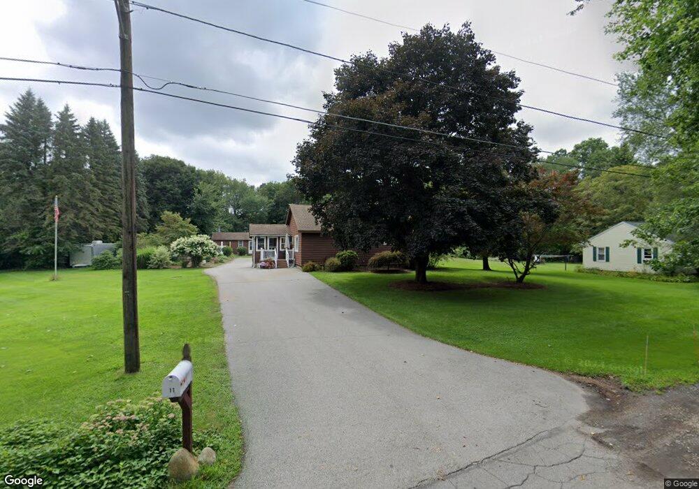
11 2nd St North Grafton, MA 01536
Estimated Value: $463,000 - $600,000
3
Beds
2
Baths
1,152
Sq Ft
$468/Sq Ft
Est. Value
About This Home
This home is located at 11 2nd St, North Grafton, MA 01536 and is currently estimated at $539,416, approximately $468 per square foot. 11 2nd St is a home located in Worcester County with nearby schools including Grafton High School, Silver Spruce Montessori School, and Al-Hamra Academy.
Ownership History
Date
Name
Owned For
Owner Type
Purchase Details
Closed on
Nov 8, 2019
Sold by
Atchue Thomas P and Mcglone Beverly
Bought by
Mcglone Beverly A
Current Estimated Value
Home Financials for this Owner
Home Financials are based on the most recent Mortgage that was taken out on this home.
Original Mortgage
$200,000
Outstanding Balance
$175,744
Interest Rate
3.65%
Mortgage Type
New Conventional
Estimated Equity
$363,672
Purchase Details
Closed on
Apr 1, 2005
Sold by
Matheson Diana T
Bought by
Abreu Violet B
Home Financials for this Owner
Home Financials are based on the most recent Mortgage that was taken out on this home.
Original Mortgage
$157,050
Interest Rate
5.61%
Mortgage Type
Purchase Money Mortgage
Create a Home Valuation Report for This Property
The Home Valuation Report is an in-depth analysis detailing your home's value as well as a comparison with similar homes in the area
Home Values in the Area
Average Home Value in this Area
Purchase History
| Date | Buyer | Sale Price | Title Company |
|---|---|---|---|
| Mcglone Beverly A | $160,000 | -- | |
| Mcglone Beverly A | $160,000 | -- | |
| Abreu Violet B | $174,000 | -- | |
| Abreu Violet B | $174,000 | -- |
Source: Public Records
Mortgage History
| Date | Status | Borrower | Loan Amount |
|---|---|---|---|
| Open | Mcglone Beverly A | $200,000 | |
| Closed | Mcglone Beverly A | $200,000 | |
| Previous Owner | Abreu Violet B | $157,050 |
Source: Public Records
Tax History Compared to Growth
Tax History
| Year | Tax Paid | Tax Assessment Tax Assessment Total Assessment is a certain percentage of the fair market value that is determined by local assessors to be the total taxable value of land and additions on the property. | Land | Improvement |
|---|---|---|---|---|
| 2025 | $7,151 | $513,000 | $198,400 | $314,600 |
| 2024 | $6,982 | $487,900 | $189,100 | $298,800 |
| 2023 | $6,751 | $429,700 | $189,100 | $240,600 |
| 2022 | $6,460 | $382,700 | $162,300 | $220,400 |
| 2021 | $6,260 | $364,400 | $147,400 | $217,000 |
| 2020 | $5,968 | $361,700 | $147,400 | $214,300 |
| 2019 | $5,643 | $338,700 | $141,000 | $197,700 |
| 2018 | $5,516 | $332,500 | $140,300 | $192,200 |
| 2017 | $5,325 | $324,700 | $132,500 | $192,200 |
| 2016 | $4,919 | $293,700 | $102,500 | $191,200 |
| 2015 | $4,877 | $295,600 | $102,500 | $193,100 |
| 2014 | $4,396 | $288,100 | $112,200 | $175,900 |
Source: Public Records
Map
Nearby Homes
- 17 Hingham Rd
- 11 Hovey Pond Dr Unit 11
- 194 Worcester St
- 22 Beverly Rd
- 14 Northgate Ct Unit 14
- 30 Falmouth Dr
- 4 Westboro Rd
- 0 East St
- 4 Winslow Ln Unit 1410
- 44 Meadow Ln
- 15 Windle Ave
- 3 Abby Rd
- 69 Cortland Grove Dr Unit 69
- 51 Cortland Grove Dr Unit 51
- 76 Samuel Dr
- 2 Winslow Ln Unit 2302
- 2 Winslow Ln Unit 406
- 21 Lordvale Blvd Unit 406
- Ivywood Plan at Winslow Point - The Building 1 Series
- Hayden Plan at Winslow Point - The Building 1 Series