11 3rd St Westport, MA 02790
South Westport NeighborhoodEstimated Value: $686,000 - $897,000
2
Beds
2
Baths
1,940
Sq Ft
$401/Sq Ft
Est. Value
About This Home
This home is located at 11 3rd St, Westport, MA 02790 and is currently estimated at $778,114, approximately $401 per square foot. 11 3rd St is a home located in Bristol County with nearby schools including Alice A. Macomber Primary School, Westport Elementary School, and Westport Middle-High School.
Ownership History
Date
Name
Owned For
Owner Type
Purchase Details
Closed on
Jan 15, 2009
Sold by
Mayall Bruce A and Mayall Patricia A
Bought by
Houde Duane P and Houde Robin L
Current Estimated Value
Purchase Details
Closed on
Dec 23, 2008
Sold by
Mayall Bruce A and Mayall Patricia A
Bought by
Mayall Bruce A and Houde Duane P
Purchase Details
Closed on
Jun 2, 2004
Sold by
Mayall Patricia A
Bought by
Mayall Bruce A and Mayall Patricia A
Purchase Details
Closed on
Dec 27, 1979
Bought by
Houde Robin L and Houde Duane P
Create a Home Valuation Report for This Property
The Home Valuation Report is an in-depth analysis detailing your home's value as well as a comparison with similar homes in the area
Home Values in the Area
Average Home Value in this Area
Purchase History
| Date | Buyer | Sale Price | Title Company |
|---|---|---|---|
| Houde Duane P | -- | -- | |
| Mayall Bruce A | -- | -- | |
| Mayall Bruce A | -- | -- | |
| Houde Robin L | -- | -- |
Source: Public Records
Mortgage History
| Date | Status | Borrower | Loan Amount |
|---|---|---|---|
| Open | Houde Robin L | $233,000 |
Source: Public Records
Tax History Compared to Growth
Tax History
| Year | Tax Paid | Tax Assessment Tax Assessment Total Assessment is a certain percentage of the fair market value that is determined by local assessors to be the total taxable value of land and additions on the property. | Land | Improvement |
|---|---|---|---|---|
| 2025 | $4,483 | $601,700 | $339,900 | $261,800 |
| 2024 | $4,412 | $570,700 | $315,000 | $255,700 |
| 2023 | $4,019 | $492,500 | $240,000 | $252,500 |
| 2022 | $3,929 | $463,300 | $240,000 | $223,300 |
| 2021 | $3,288 | $399,400 | $218,100 | $181,300 |
| 2020 | $3,294 | $390,700 | $209,400 | $181,300 |
| 2019 | $3,011 | $364,100 | $193,700 | $170,400 |
| 2018 | $2,182 | $267,100 | $115,600 | $151,500 |
| 2017 | $2,061 | $258,600 | $117,800 | $140,800 |
| 2016 | $2,054 | $259,700 | $122,200 | $137,500 |
| 2015 | $1,788 | $225,500 | $124,500 | $101,000 |
Source: Public Records
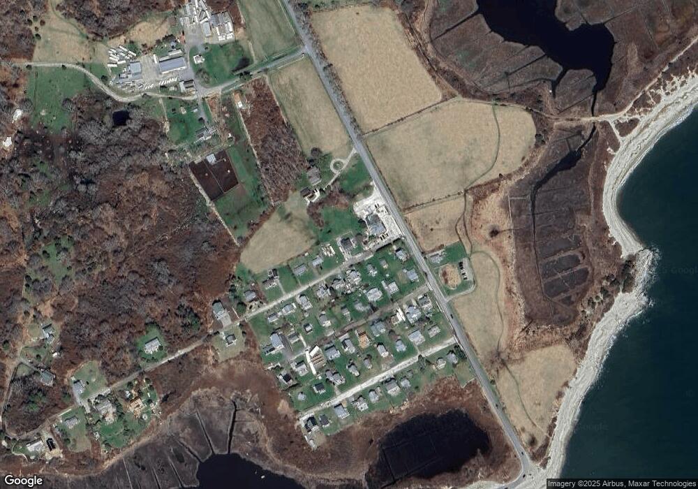
Map
Nearby Homes
- 238-242 E Beach Rd
- Lot 2 Horseneck Rd
- 0 Reed Rd (Ss)
- 1702 Drift Rd
- 1702J Drift Rd
- 1881 Main Rd
- Lot 2E Horseneck Rd
- 99 Sylvia Ln
- 1580 Main Rd
- 158 Little River Rd
- Lot 1 Rafael Rd
- 61 Pardon Hill Rd
- 2 Slades Farm Ln
- 12 Meadow Shores Rd
- 24 White Alder Way
- 1346 Main Rd Unit B
- 304 Brayton Point Rd
- 482 Smith Neck Rd
- 19 Seabury Ln
- 24 Eagle Dr