11 4th St Swansea, MA 02777
South Swansea NeighborhoodEstimated Value: $347,000 - $437,000
4
Beds
1
Bath
936
Sq Ft
$402/Sq Ft
Est. Value
About This Home
This home is located at 11 4th St, Swansea, MA 02777 and is currently estimated at $375,923, approximately $401 per square foot. 11 4th St is a home located in Bristol County with nearby schools including Joseph Case High School, Swansea Wood School, and SCEC Life Academy.
Ownership History
Date
Name
Owned For
Owner Type
Purchase Details
Closed on
Mar 3, 1999
Sold by
Mhfa
Bought by
Monte Mark
Current Estimated Value
Home Financials for this Owner
Home Financials are based on the most recent Mortgage that was taken out on this home.
Original Mortgage
$80,750
Outstanding Balance
$19,560
Interest Rate
6.76%
Mortgage Type
Purchase Money Mortgage
Estimated Equity
$356,363
Purchase Details
Closed on
Jan 12, 1998
Sold by
Santos Steven G
Bought by
Mhfa
Purchase Details
Closed on
Apr 30, 1993
Sold by
Considine Michael J
Bought by
Santos Steven G and Santos Cheryl A
Home Financials for this Owner
Home Financials are based on the most recent Mortgage that was taken out on this home.
Original Mortgage
$95,400
Interest Rate
7.51%
Mortgage Type
Purchase Money Mortgage
Create a Home Valuation Report for This Property
The Home Valuation Report is an in-depth analysis detailing your home's value as well as a comparison with similar homes in the area
Home Values in the Area
Average Home Value in this Area
Purchase History
| Date | Buyer | Sale Price | Title Company |
|---|---|---|---|
| Monte Mark | $85,000 | -- | |
| Mhfa | $76,500 | -- | |
| Santos Steven G | $102,000 | -- |
Source: Public Records
Mortgage History
| Date | Status | Borrower | Loan Amount |
|---|---|---|---|
| Open | Santos Steven G | $80,750 | |
| Previous Owner | Santos Steven G | $95,400 |
Source: Public Records
Tax History Compared to Growth
Tax History
| Year | Tax Paid | Tax Assessment Tax Assessment Total Assessment is a certain percentage of the fair market value that is determined by local assessors to be the total taxable value of land and additions on the property. | Land | Improvement |
|---|---|---|---|---|
| 2025 | $3,802 | $319,000 | $131,000 | $188,000 |
| 2024 | $3,777 | $315,000 | $131,000 | $184,000 |
| 2023 | $3,437 | $261,800 | $95,700 | $166,100 |
| 2022 | $3,326 | $231,100 | $87,000 | $144,100 |
| 2021 | $3,090 | $197,700 | $83,400 | $114,300 |
| 2020 | $3,128 | $200,800 | $83,400 | $117,400 |
| 2019 | $2,933 | $189,100 | $74,300 | $114,800 |
| 2018 | $2,837 | $185,700 | $70,900 | $114,800 |
| 2017 | $2,536 | $191,000 | $70,900 | $120,100 |
| 2016 | $2,325 | $172,000 | $61,300 | $110,700 |
| 2015 | $2,159 | $164,400 | $61,300 | $103,100 |
| 2014 | $2,076 | $161,700 | $61,300 | $100,400 |
Source: Public Records
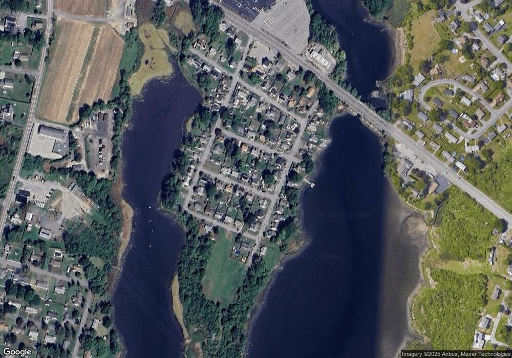
Map
Nearby Homes
- 8 2nd St
- 30 Front St
- 24 Front St
- 675 Lees River Ave
- 19 Richard Rd
- 34 Base Lodge Ln
- 127 Sheraton Ave
- 0 Hortonville Rd Unit 73242268
- 197 Alberta Ave
- 19 Keller Ave
- 196 Coolidge St
- 33 Rhinecliffe Rd
- 167 Mercier Ave
- 41 James Ave
- 194 Hortonville Rd
- 58 Randall Ave
- 20 Sherbourne Ave
- 193 Linden St
- 265 Stevens Rd
- 105 Birchwood Dr