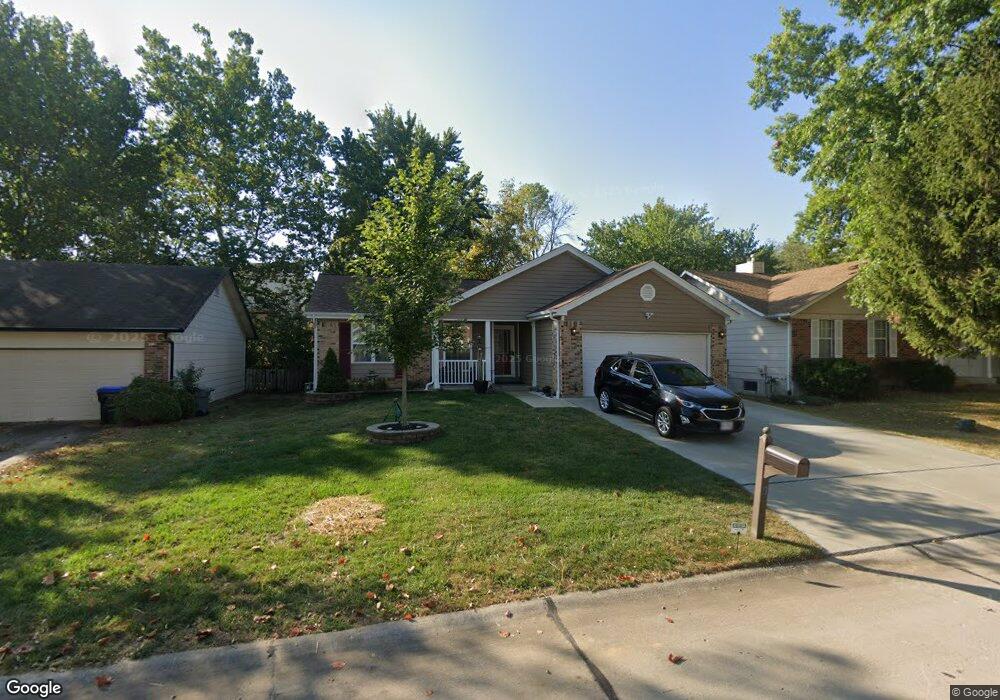
11 Amesbury Ct Saint Peters, MO 63376
Estimated Value: $310,869 - $332,000
3
Beds
2
Baths
1,354
Sq Ft
$237/Sq Ft
Est. Value
About This Home
This home is located at 11 Amesbury Ct, Saint Peters, MO 63376 and is currently estimated at $320,467, approximately $236 per square foot. 11 Amesbury Ct is a home located in St. Charles County with nearby schools including Progress South Elementary School, Fort Zumwalt South Middle School, and Fort Zumwalt South High School.
Ownership History
Date
Name
Owned For
Owner Type
Purchase Details
Closed on
Dec 15, 2015
Sold by
Noonan Edward J
Bought by
Davis Steve Edwon Davis and Davis Debra Jean
Current Estimated Value
Purchase Details
Closed on
Jan 25, 2001
Sold by
Kreuzkamp Thomas and Kreuzkamp Cathy
Bought by
Noonan Edward J and Noonan Marilyn S
Purchase Details
Closed on
Apr 30, 1998
Sold by
Nau Cathy M
Bought by
Kreuzkamp Thomas and Kreuzkamp Cathy
Home Financials for this Owner
Home Financials are based on the most recent Mortgage that was taken out on this home.
Original Mortgage
$106,090
Interest Rate
7.18%
Mortgage Type
VA
Create a Home Valuation Report for This Property
The Home Valuation Report is an in-depth analysis detailing your home's value as well as a comparison with similar homes in the area
Home Values in the Area
Average Home Value in this Area
Purchase History
| Date | Buyer | Sale Price | Title Company |
|---|---|---|---|
| Davis Steve Edwon Davis | -- | Title Partners Agency Llc | |
| Noonan Edward J | $101,800 | -- | |
| Kreuzkamp Thomas | -- | -- |
Source: Public Records
Mortgage History
| Date | Status | Borrower | Loan Amount |
|---|---|---|---|
| Previous Owner | Kreuzkamp Thomas | $106,090 |
Source: Public Records
Tax History Compared to Growth
Tax History
| Year | Tax Paid | Tax Assessment Tax Assessment Total Assessment is a certain percentage of the fair market value that is determined by local assessors to be the total taxable value of land and additions on the property. | Land | Improvement |
|---|---|---|---|---|
| 2025 | $3,046 | $49,590 | -- | -- |
| 2023 | $3,047 | $45,908 | $0 | $0 |
| 2022 | $2,690 | $37,653 | $0 | $0 |
| 2021 | $2,692 | $37,653 | $0 | $0 |
| 2020 | $2,474 | $33,541 | $0 | $0 |
| 2019 | $2,480 | $33,541 | $0 | $0 |
| 2018 | $2,314 | $29,868 | $0 | $0 |
| 2017 | $2,279 | $29,868 | $0 | $0 |
| 2016 | $2,067 | $26,979 | $0 | $0 |
| 2015 | $1,922 | $26,979 | $0 | $0 |
| 2014 | $1,801 | $24,858 | $0 | $0 |
Source: Public Records
Map
Nearby Homes
- 9 Schrader Farm Ct
- Adams Plan at Strawberry Farms - Liberty Series
- Franklin Plan at Strawberry Farms - Liberty Series
- Madison Plan at Strawberry Farms - Liberty Series
- Hamilton II Plan at Strawberry Farms - Liberty Series
- Washington Plan at Strawberry Farms - Liberty Series
- 8360 Mexico Rd
- 9 Tamerton Ct
- 8 Belleau Lake Ct
- 1508 Belleau Lake Dr
- 8201 Bristol Valley Dr
- 1005 Belleau Creek Rd
- 1603 Belleau Lake Dr
- 42 Kingspointe Dr
- 175 Blue Water Dr
- 117 Blue Water Dr
- 164 Blue Water Dr
- 212 Natural Spring Dr
- 154 Blue Water Dr
- 333 Bramblett Hills