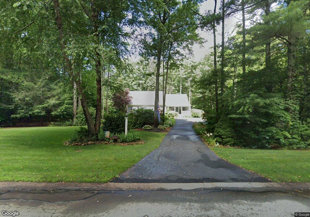
11 Annies Way Rochester, MA 02770
Estimated Value: $643,000 - $731,000
3
Beds
3
Baths
2,190
Sq Ft
$314/Sq Ft
Est. Value
About This Home
This home is located at 11 Annies Way, Rochester, MA 02770 and is currently estimated at $688,556, approximately $314 per square foot. 11 Annies Way is a home located in Plymouth County with nearby schools including Rochester Memorial School and Old Rochester Regional High School.
Ownership History
Date
Name
Owned For
Owner Type
Purchase Details
Closed on
Jul 29, 2021
Sold by
Rand Thomas E and Rand Lynn A
Bought by
Thomas E Rand Ret
Current Estimated Value
Purchase Details
Closed on
Jun 30, 1998
Sold by
Medeiros William M
Bought by
Rand Thomas E
Create a Home Valuation Report for This Property
The Home Valuation Report is an in-depth analysis detailing your home's value as well as a comparison with similar homes in the area
Home Values in the Area
Average Home Value in this Area
Purchase History
| Date | Buyer | Sale Price | Title Company |
|---|---|---|---|
| Thomas E Rand Ret | -- | None Available | |
| Rand Thomas E | $165,000 | -- |
Source: Public Records
Mortgage History
| Date | Status | Borrower | Loan Amount |
|---|---|---|---|
| Previous Owner | Rand Thomas E | $80,000 | |
| Previous Owner | Rand Thomas E | $90,000 | |
| Previous Owner | Rand Thomas E | $27,900 |
Source: Public Records
Tax History Compared to Growth
Tax History
| Year | Tax Paid | Tax Assessment Tax Assessment Total Assessment is a certain percentage of the fair market value that is determined by local assessors to be the total taxable value of land and additions on the property. | Land | Improvement |
|---|---|---|---|---|
| 2025 | $6,280 | $580,400 | $178,400 | $402,000 |
| 2024 | $6,166 | $557,500 | $169,900 | $387,600 |
| 2023 | $5,918 | $498,600 | $169,900 | $328,700 |
| 2022 | $5,752 | $451,500 | $203,200 | $248,300 |
| 2021 | $5,615 | $420,000 | $191,600 | $228,400 |
| 2020 | $5,507 | $408,500 | $185,700 | $222,800 |
| 2019 | $5,450 | $389,300 | $174,600 | $214,700 |
| 2018 | $5,281 | $374,300 | $157,600 | $216,700 |
| 2017 | $5,196 | $361,100 | $157,000 | $204,100 |
| 2016 | $5,048 | $360,300 | $158,300 | $202,000 |
| 2015 | $4,910 | $349,000 | $158,300 | $190,700 |
| 2014 | $4,864 | $351,200 | $153,600 | $197,600 |
Source: Public Records
Map
Nearby Homes
- 1-3 Doctor Hickey Ln
- 199 Quaker Ln
- 1 Rounseville Rd
- 21 Robinson Rd
- 0 Rounseville Rd
- 714 Snipatuit Rd
- 709 Walnut Plain Rd
- 4 Sarahbeth Ln Unit 1
- 562 North Ave
- 21 Bennett Rd
- 1 Clems Way
- 4 Hayley Cir
- 2 Hayley Cir
- 28 Cedar Hill Dr
- 150 Ryder Rd
- 247 Braley Hill Rd
- 0-A3 Marys Pond Rd
- 0-A4 Marys Pond Rd
- 0 Confidential Way Unit 73340085
- 168 Keene Rd
- 88 Bradford Ln
- 8 Annies Way
- 107 Snows Pond Rd
- 89 Bradford Ln
- 99 Bradford Ln
- 68 Bradford Ln
- 79 Bradford Ln
- 74 Snows Pond Rd
- 69 Bradford Ln
- 102 Bradford Ln
- 120 Snows Pond Rd
- 0 Bradford Ln
- 90 Snows Pond Rd
- 56 Bradford Ln
- 59 Bradford Ln
- 236 Snows Pond Rd
- 49 Bradford Ln
- 130 Snows Pond Rd
- 44 Bradford Ln
- 80 Snows Pond Rd