11 Arthur Gordon Dr Rowley, MA 01969
Estimated Value: $1,042,000 - $1,292,000
4
Beds
3
Baths
3,072
Sq Ft
$364/Sq Ft
Est. Value
About This Home
This home is located at 11 Arthur Gordon Dr, Rowley, MA 01969 and is currently estimated at $1,118,257, approximately $364 per square foot. 11 Arthur Gordon Dr is a home located in Essex County with nearby schools including Triton Regional High School, North Shore Montessori School, and Clark School.
Ownership History
Date
Name
Owned For
Owner Type
Purchase Details
Closed on
Jul 14, 2008
Sold by
Cole Gregory and Cole Kim Diane
Bought by
Killen William E and Killen Susan L
Current Estimated Value
Purchase Details
Closed on
Apr 22, 2003
Sold by
Int Prime Rowley and Katsapetses Thomas N
Bought by
Cole Gregory
Create a Home Valuation Report for This Property
The Home Valuation Report is an in-depth analysis detailing your home's value as well as a comparison with similar homes in the area
Home Values in the Area
Average Home Value in this Area
Purchase History
| Date | Buyer | Sale Price | Title Company |
|---|---|---|---|
| Killen William E | $497,000 | -- | |
| Cole Gregory | $439,900 | -- |
Source: Public Records
Mortgage History
| Date | Status | Borrower | Loan Amount |
|---|---|---|---|
| Open | Cole Gregory | $45,800 | |
| Open | Cole Gregory | $382,000 |
Source: Public Records
Tax History
| Year | Tax Paid | Tax Assessment Tax Assessment Total Assessment is a certain percentage of the fair market value that is determined by local assessors to be the total taxable value of land and additions on the property. | Land | Improvement |
|---|---|---|---|---|
| 2025 | $10,080 | $856,400 | $305,900 | $550,500 |
| 2024 | $9,606 | $793,900 | $267,000 | $526,900 |
| 2023 | $9,438 | $724,900 | $232,200 | $492,700 |
| 2022 | $8,867 | $606,500 | $193,500 | $413,000 |
| 2021 | $8,896 | $571,000 | $168,200 | $402,800 |
| 2020 | $9,060 | $581,500 | $160,300 | $421,200 |
| 2019 | $7,908 | $538,700 | $160,300 | $378,400 |
| 2018 | $7,453 | $511,200 | $160,300 | $350,900 |
| 2017 | $7,228 | $511,200 | $160,300 | $350,900 |
| 2016 | $7,220 | $502,800 | $133,000 | $369,800 |
| 2015 | $6,943 | $487,600 | $133,000 | $354,600 |
Source: Public Records
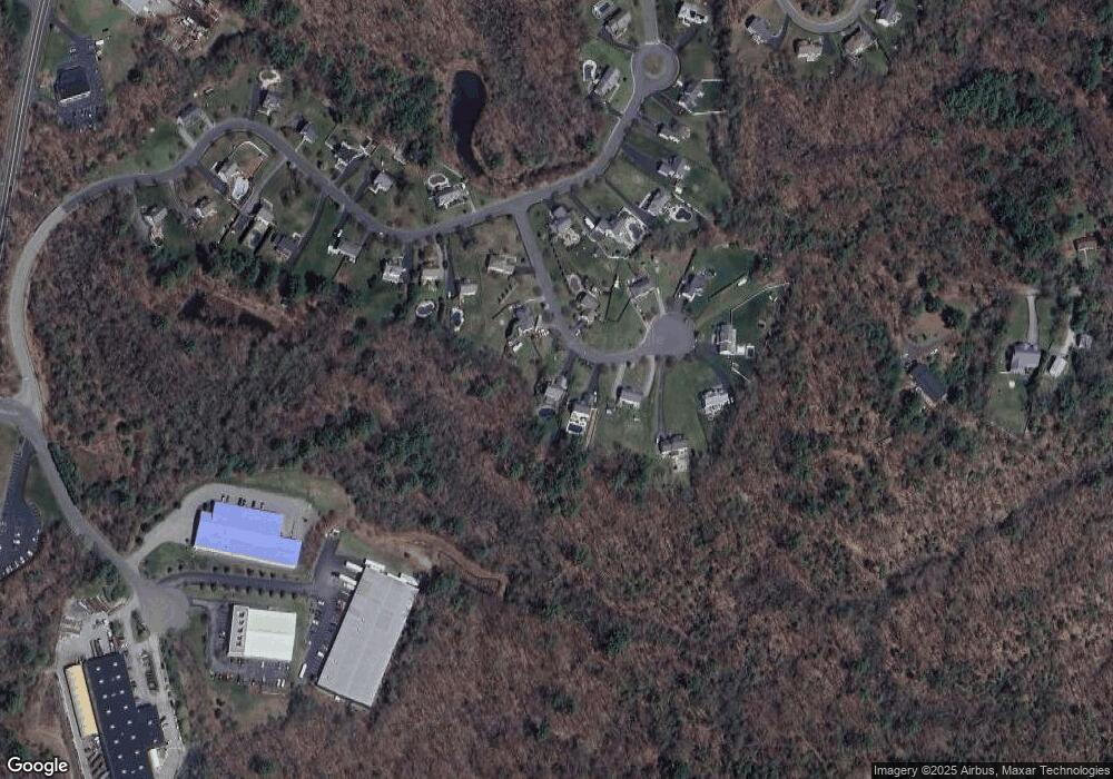
Map
Nearby Homes
- 480 Newburyport Turnpike
- 460 - 472 Newburyport Turnpike
- 304 & 480 Wethersfield St & Nbpt Tnpk
- 304-312 Wethersfield St
- 308 & 312 Wethersfield St
- Lot 6 Osprey Ct
- 1 Osprey Ct
- 34 Central St Unit 2
- 34 Central St Unit 1
- 22 Taylor Ln
- 601 Newburyport Turnpike
- 75 Country Club Way
- 10 Choate Ln
- 76-78 Daniels Rd
- 196 Country Club Way
- 117 Kittery Ave
- 30 Christa Dr
- 6 James Rd
- 12 Birch Ln
- 36 Caldwell Farm Rd
- 15 Arthur Gordon Dr
- 9 Arthur Gordon Dr
- 17 Arthur Gordon Dr
- 19 Arthur Gordon Dr
- 5 Arthur Gordon Dr
- 8 Arthur Gordon Dr
- 21 Arthur Gordon Dr
- 14 Arthur Gordon Dr
- 53 Spencer Knowles Rd
- 3 Arthur Gordon Dr
- 18 Arthur Gordon Dr
- 57 Spencer Knowles Rd
- 23 Arthur Gordon Dr
- 51 Spencer Knowles Rd
- 22 Arthur Gordon Dr
- 63 Spencer Knowles Rd
- 49 Spencer Knowles Rd
- 25 Arthur Gordon Dr
- 67 Spencer Knowles Rd
- 0 Silva Ln
Your Personal Tour Guide
Ask me questions while you tour the home.