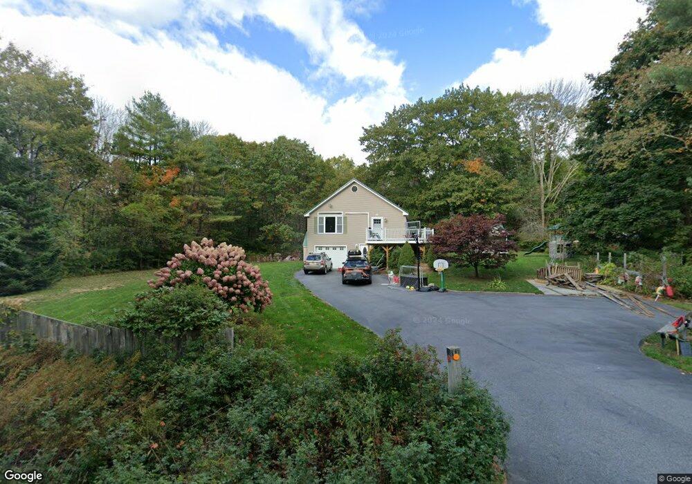
11 Ash Swamp Rd Scarborough, ME 04074
Estimated Value: $526,000 - $629,000
3
Beds
3
Baths
1,200
Sq Ft
$472/Sq Ft
Est. Value
About This Home
This home is located at 11 Ash Swamp Rd, Scarborough, ME 04074 and is currently estimated at $566,056, approximately $471 per square foot. 11 Ash Swamp Rd is a home located in Cumberland County with nearby schools including Scarborough High School and Cornerstone Baptist Academy.
Ownership History
Date
Name
Owned For
Owner Type
Purchase Details
Closed on
Sep 16, 2011
Sold by
Harrison Kevin M and Spitzer Dorothy L
Bought by
Ferree James W and Ferree Jayme L
Current Estimated Value
Home Financials for this Owner
Home Financials are based on the most recent Mortgage that was taken out on this home.
Original Mortgage
$202,500
Outstanding Balance
$138,456
Interest Rate
4.38%
Mortgage Type
Commercial
Estimated Equity
$427,600
Purchase Details
Closed on
Feb 8, 2010
Sold by
Fnma
Bought by
Federal National Mortgage Association
Create a Home Valuation Report for This Property
The Home Valuation Report is an in-depth analysis detailing your home's value as well as a comparison with similar homes in the area
Home Values in the Area
Average Home Value in this Area
Purchase History
| Date | Buyer | Sale Price | Title Company |
|---|---|---|---|
| Ferree James W | -- | -- | |
| Federal National Mortgage Association | -- | -- |
Source: Public Records
Mortgage History
| Date | Status | Borrower | Loan Amount |
|---|---|---|---|
| Open | Ferree James W | $202,500 | |
| Previous Owner | Federal National Mortgage Association | $163,000 |
Source: Public Records
Tax History Compared to Growth
Tax History
| Year | Tax Paid | Tax Assessment Tax Assessment Total Assessment is a certain percentage of the fair market value that is determined by local assessors to be the total taxable value of land and additions on the property. | Land | Improvement |
|---|---|---|---|---|
| 2025 | $5,096 | $449,800 | $143,400 | $306,400 |
| 2024 | $4,799 | $439,100 | $143,400 | $295,700 |
| 2023 | $4,625 | $289,600 | $98,400 | $191,200 |
| 2022 | $4,457 | $289,600 | $98,400 | $191,200 |
| 2021 | $4,350 | $289,600 | $98,400 | $191,200 |
| 2020 | $4,303 | $289,600 | $98,400 | $191,200 |
| 2019 | $4,257 | $289,600 | $98,400 | $191,200 |
| 2017 | $3,684 | $223,400 | $100,400 | $123,000 |
| 2016 | $3,557 | $223,400 | $100,400 | $123,000 |
| 2015 | $3,460 | $223,400 | $100,400 | $123,000 |
| 2014 | $3,222 | $223,400 | $100,400 | $123,000 |
| 2013 | -- | $222,000 | $100,400 | $121,600 |
Source: Public Records
Map
Nearby Homes
- 96C Broadturn Rd
- 91 B Broadturn Rd
- 90 Broadturn Rd Unit 9
- 29 Mccann Way Unit 29
- 153 Stewart Dr
- 155 Stewart Dr
- 149 Stewart Dr
- 159 Stewart Dr
- 192 Stewart Dr
- 72 Stewart Dr
- 19 Paulsen Dr
- 75 Ash Swamp Rd
- 9 Paulsen Dr
- 25 Broadturn Rd
- 74 Hearn Rd
- 626 Us Route 1
- 0 W Beech Ridge Rd
- 31 Old Blue Point Rd
- 6 Rose Hill Way
- 994 Portland Rd Unit 14
- 21 Ash Swamp Rd
- 15 Ash Swamp Rd
- 10 Ash Swamp Rd
- 12 Ash Swamp Rd
- 9 Ash Swamp Rd
- 118 Broadturn Rd
- 1 Ash Swamp Rd
- 16 Ash Swamp Rd
- 18 Ash Swamp Rd
- 23 Ash Swamp Rd
- 0A Ash Swamp Rd
- 2 Ash Swamp Rd
- 0 Ashswamp Rd
- 14 Ash Swamp Rd
- 122 Broadturn Rd
- 29 Ash Swamp Rd
- 26 Ash Swamp Rd
- 5 Hidden Creek Dr
- 98 Broadturn Rd
- 126 Broadturn Rd