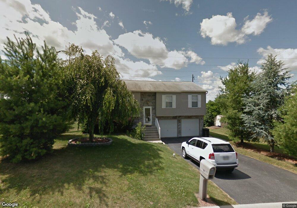
11 Aspen Way Lebanon, PA 17046
Estimated Value: $301,000 - $356,000
2
Beds
2
Baths
1,986
Sq Ft
$161/Sq Ft
Est. Value
About This Home
This home is located at 11 Aspen Way, Lebanon, PA 17046 and is currently estimated at $320,492, approximately $161 per square foot. 11 Aspen Way is a home located in Lebanon County with nearby schools including Ebenezer Elementary School, Cedar Crest Middle School, and Cedar Crest High School.
Ownership History
Date
Name
Owned For
Owner Type
Purchase Details
Closed on
Oct 26, 2021
Sold by
Sholly Thad M and Lambert Trina M
Bought by
Sholly Thad and Sholly Trina M
Current Estimated Value
Home Financials for this Owner
Home Financials are based on the most recent Mortgage that was taken out on this home.
Original Mortgage
$195,000
Outstanding Balance
$178,207
Interest Rate
2.8%
Mortgage Type
New Conventional
Estimated Equity
$142,285
Purchase Details
Closed on
Dec 22, 2008
Sold by
Gettle Chris M and Gettle Sharon Y
Bought by
Sholly Thad M and Lambert Trina M
Home Financials for this Owner
Home Financials are based on the most recent Mortgage that was taken out on this home.
Original Mortgage
$170,972
Interest Rate
6.27%
Mortgage Type
FHA
Create a Home Valuation Report for This Property
The Home Valuation Report is an in-depth analysis detailing your home's value as well as a comparison with similar homes in the area
Home Values in the Area
Average Home Value in this Area
Purchase History
| Date | Buyer | Sale Price | Title Company |
|---|---|---|---|
| Sholly Thad | -- | Cu Abstract | |
| Sholly Thad M | $171,900 | None Available |
Source: Public Records
Mortgage History
| Date | Status | Borrower | Loan Amount |
|---|---|---|---|
| Open | Sholly Thad | $195,000 | |
| Closed | Sholly Thad M | $170,972 |
Source: Public Records
Tax History Compared to Growth
Tax History
| Year | Tax Paid | Tax Assessment Tax Assessment Total Assessment is a certain percentage of the fair market value that is determined by local assessors to be the total taxable value of land and additions on the property. | Land | Improvement |
|---|---|---|---|---|
| 2025 | $3,654 | $147,400 | $43,200 | $104,200 |
| 2024 | $3,333 | $147,400 | $43,200 | $104,200 |
| 2023 | $3,333 | $147,400 | $43,200 | $104,200 |
| 2022 | $3,242 | $147,400 | $43,200 | $104,200 |
| 2021 | $3,086 | $147,400 | $43,200 | $104,200 |
| 2020 | $3,064 | $147,400 | $43,200 | $104,200 |
| 2019 | $3,002 | $147,400 | $43,200 | $104,200 |
| 2018 | $2,890 | $147,400 | $43,200 | $104,200 |
| 2017 | $819 | $147,400 | $43,200 | $104,200 |
| 2016 | $2,822 | $147,400 | $43,200 | $104,200 |
| 2015 | -- | $147,400 | $43,200 | $104,200 |
| 2014 | -- | $147,400 | $43,200 | $104,200 |
Source: Public Records
Map
Nearby Homes
- 1530 Rolling Meadow Rd
- 2010 Rolling Meadow Rd
- 2001 Rolling Meadow Rd
- 2011 Rolling Meadow Rd
- 2013 Rolling Meadow Rd
- 08 Rolling Meadow Rd
- 012 Rolling Meadow Rd
- 015 Rolling Meadow Rd
- 020 Rolling Meadow Rd
- 014 Rolling Meadow Rd
- 019 Rolling Meadow Rd
- 04 Rolling Meadow Rd
- 021 Rolling Meadow Rd
- 013 Rolling Meadow Rd
- 011 Rolling Meadow Rd
- 022 Rolling Meadow Rd
- 016 Rolling Meadow Rd
- 023 Rolling Meadow Rd
- 03 Rolling Meadow Rd
- 02 Rolling Meadow Rd