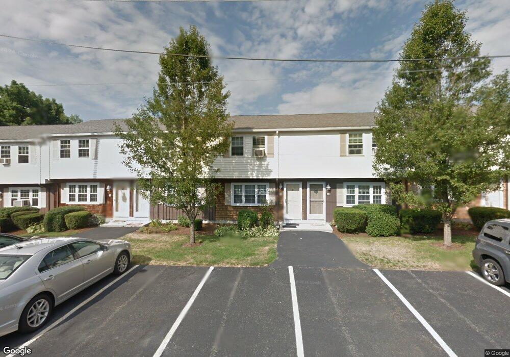
11 B A Dr Unit G North Attleboro, MA 02760
North Attleboro NeighborhoodEstimated Value: $313,024 - $335,000
2
Beds
2
Baths
934
Sq Ft
$344/Sq Ft
Est. Value
About This Home
This home is located at 11 B A Dr Unit G, North Attleboro, MA 02760 and is currently estimated at $321,506, approximately $344 per square foot. 11 B A Dr Unit G is a home located in Bristol County with nearby schools including North Attleboro High School, Cadence Academy Preschool - North Attleborough, and Bishop Feehan High School.
Ownership History
Date
Name
Owned For
Owner Type
Purchase Details
Closed on
Nov 16, 2009
Sold by
Brewin Patricia J
Bought by
Vogan Amanda
Current Estimated Value
Home Financials for this Owner
Home Financials are based on the most recent Mortgage that was taken out on this home.
Original Mortgage
$161,029
Outstanding Balance
$105,038
Interest Rate
4.98%
Mortgage Type
Purchase Money Mortgage
Estimated Equity
$216,468
Create a Home Valuation Report for This Property
The Home Valuation Report is an in-depth analysis detailing your home's value as well as a comparison with similar homes in the area
Home Values in the Area
Average Home Value in this Area
Purchase History
| Date | Buyer | Sale Price | Title Company |
|---|---|---|---|
| Vogan Amanda | $164,000 | -- |
Source: Public Records
Mortgage History
| Date | Status | Borrower | Loan Amount |
|---|---|---|---|
| Open | Vogan Amanda | $161,029 |
Source: Public Records
Tax History Compared to Growth
Tax History
| Year | Tax Paid | Tax Assessment Tax Assessment Total Assessment is a certain percentage of the fair market value that is determined by local assessors to be the total taxable value of land and additions on the property. | Land | Improvement |
|---|---|---|---|---|
| 2025 | $2,919 | $247,600 | $0 | $247,600 |
| 2024 | $2,857 | $247,600 | $0 | $247,600 |
| 2023 | $3,040 | $237,700 | $0 | $237,700 |
| 2022 | $2,722 | $195,400 | $0 | $195,400 |
| 2021 | $2,633 | $184,500 | $0 | $184,500 |
| 2020 | $2,414 | $168,200 | $0 | $168,200 |
| 2019 | $2,321 | $163,000 | $0 | $163,000 |
| 2018 | $1,972 | $147,800 | $0 | $147,800 |
| 2017 | $1,954 | $147,800 | $0 | $147,800 |
| 2016 | $1,695 | $128,200 | $0 | $128,200 |
Source: Public Records
Map
Nearby Homes
- 300 E Washington St Unit 54R
- 130 E Washington St Unit 71
- 130 E Washington St Unit 36
- 304 Elm St
- 34 Poppasquash Rd
- 16 Richards Ave Unit 106
- 50 Metcalf Rd
- 80 Broadway Unit 9
- 42 2nd Ave Unit 24
- 93 Bank St
- 880 Landry Ave Unit 2
- 90 Walnut Rd
- 19 Church St Unit C9
- 47 Juniper Rd Unit F9
- 121 E Washington St Unit 8
- 121 E Washington St Unit 12
- 121 E Washington St Unit 6
- 121 E Washington St Unit 13
- 121 E Washington St Unit 11
- 137 Sumner St
- 11 B A Dr Unit F
- 999-11 Hickory Rd Lot 11
- 999-11 Hickory Road Lot 11
- 999-20 Hickory Rd Lot 20
- 999-20 Hickory Road Lot 20
- 15 North Dr
- 7 B A Dr Unit E
- 7 B A Dr Unit F
- 999-7 Hickory Road Lot 7
- 999-10 Hickory Road Lot 10
- 999-12 Hickory Rd Lot 12
- 1 Riverside Dr
- 6 Magnolia Dr Lot 6
- 5 B A Dr Unit E
- 5 B A Dr Unit G
- G-5 B A Dr Unit G-5
- 8 B A Dr Unit F
- 8 B A Dr Unit F8
- 14 Main St Unit M-14
- 6 B A Dr Unit F