Estimated Value: $862,000 - $967,000
3
Beds
3
Baths
2,554
Sq Ft
$353/Sq Ft
Est. Value
About This Home
This home is located at 11 Balsam Dr, Acton, MA 01720 and is currently estimated at $901,987, approximately $353 per square foot. 11 Balsam Dr is a home located in Middlesex County with nearby schools including Acton-Boxborough Regional High School and Oak Meadow Montessori School.
Ownership History
Date
Name
Owned For
Owner Type
Purchase Details
Closed on
Aug 21, 2025
Sold by
Vallatharasu Venkat and Ramamoorthy Agila
Bought by
V Ramamoorthy Ft and Vallatharasu
Current Estimated Value
Purchase Details
Closed on
Mar 2, 2007
Sold by
Nancy C Andersen T C and Nancy Andersen
Bought by
Karuppian Venkata S and Ramamoorthy Agila
Home Financials for this Owner
Home Financials are based on the most recent Mortgage that was taken out on this home.
Original Mortgage
$360,000
Interest Rate
6.27%
Mortgage Type
Purchase Money Mortgage
Purchase Details
Closed on
May 5, 2004
Sold by
Andersen Douglas W and Andersen Nancy C
Bought by
Nancy C Andersen T C and Nancy Andersen
Purchase Details
Closed on
Apr 8, 1993
Sold by
Northrup John T and Northrup Melissa L
Bought by
Andersen Douglas W and Andersen Nancy C
Create a Home Valuation Report for This Property
The Home Valuation Report is an in-depth analysis detailing your home's value as well as a comparison with similar homes in the area
Home Values in the Area
Average Home Value in this Area
Purchase History
| Date | Buyer | Sale Price | Title Company |
|---|---|---|---|
| V Ramamoorthy Ft | -- | -- | |
| V Ramamoorthy Ft | -- | -- | |
| Karuppian Venkata S | $450,000 | -- | |
| Karuppian Venkata S | $450,000 | -- | |
| Nancy C Andersen T C | -- | -- | |
| Nancy C Andersen T | -- | -- | |
| Andersen Douglas W | $248,900 | -- | |
| Andersen Douglas W | $248,900 | -- |
Source: Public Records
Mortgage History
| Date | Status | Borrower | Loan Amount |
|---|---|---|---|
| Previous Owner | Andersen Douglas W | $356,000 | |
| Previous Owner | Karuppian Venkata S | $360,000 |
Source: Public Records
Tax History Compared to Growth
Tax History
| Year | Tax Paid | Tax Assessment Tax Assessment Total Assessment is a certain percentage of the fair market value that is determined by local assessors to be the total taxable value of land and additions on the property. | Land | Improvement |
|---|---|---|---|---|
| 2025 | $13,075 | $762,400 | $368,400 | $394,000 |
| 2024 | $12,384 | $742,900 | $368,400 | $374,500 |
| 2023 | $12,148 | $691,800 | $334,800 | $357,000 |
| 2022 | $11,773 | $605,300 | $291,200 | $314,100 |
| 2021 | $11,232 | $555,200 | $269,400 | $285,800 |
| 2020 | $10,682 | $555,200 | $269,400 | $285,800 |
| 2019 | $10,160 | $524,500 | $269,400 | $255,100 |
| 2018 | $9,620 | $496,400 | $269,400 | $227,000 |
| 2017 | $9,271 | $486,400 | $269,400 | $217,000 |
| 2016 | $9,123 | $474,400 | $269,400 | $205,000 |
| 2015 | $8,879 | $466,100 | $269,400 | $196,700 |
| 2014 | $8,665 | $445,500 | $269,400 | $176,100 |
Source: Public Records
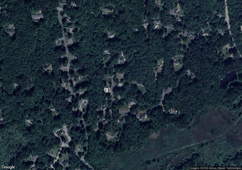
Map
Nearby Homes
- 23 John Swift Rd
- 524 Main St
- 491 Main St
- 709 Main St
- 159 Skyline Dr Unit 159
- 4 Huron Rd
- 388 Great Rd Unit B14
- 386 Great Rd Unit A8
- 390 Great Rd Unit A2
- 420 Great Rd Unit B3
- 7 Blue Heron Way
- 407 Great Rd Unit 9
- 484 Great Rd
- 484 Great Rd
- 9 Breezy Point Rd
- 31 Mohawk Dr
- 11 Horseshoe Dr
- 4 Omega Way
- 5 Oakwood Rd
- 484 Great Road -3