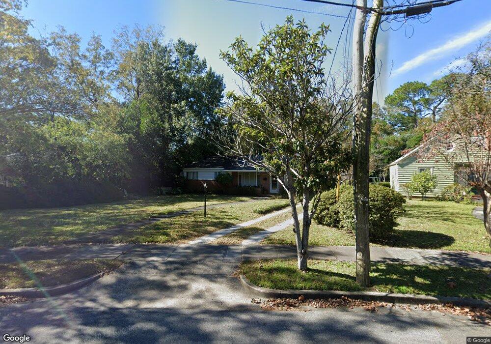
11 Barnard Dr Wilmington, NC 28405
Carolina Heights NeighborhoodEstimated Value: $319,000 - $420,000
2
Beds
2
Baths
1,363
Sq Ft
$266/Sq Ft
Est. Value
About This Home
This home is located at 11 Barnard Dr, Wilmington, NC 28405 and is currently estimated at $362,542, approximately $265 per square foot. 11 Barnard Dr is a home located in New Hanover County with nearby schools including Rachel Freeman School of Engineering, Williston Middle School, and New Hanover High School.
Ownership History
Date
Name
Owned For
Owner Type
Purchase Details
Closed on
May 28, 2003
Sold by
Pabst Dorothy Ann
Bought by
Blair Christopher L Erin B
Current Estimated Value
Purchase Details
Closed on
May 15, 1996
Sold by
Hohenwarter Claire F Etvir
Bought by
Pabst Dorothy Ann
Purchase Details
Closed on
May 29, 1991
Sold by
Page Hugh W
Bought by
Hohenwater Claire F
Purchase Details
Closed on
Sep 7, 1990
Sold by
Jones Annie B
Bought by
Jones Annie B Hrs
Purchase Details
Closed on
Jan 1, 1990
Sold by
Jones Annie B
Bought by
Jones Annie B
Purchase Details
Closed on
May 1, 1983
Bought by
Jones Jesse B
Create a Home Valuation Report for This Property
The Home Valuation Report is an in-depth analysis detailing your home's value as well as a comparison with similar homes in the area
Home Values in the Area
Average Home Value in this Area
Purchase History
| Date | Buyer | Sale Price | Title Company |
|---|---|---|---|
| Blair Christopher L Erin B | $114,000 | -- | |
| Pabst Dorothy Ann | $93,500 | -- | |
| Hohenwater Claire F | $59,000 | -- | |
| Jones Annie B Hrs | -- | -- | |
| Jones Annie B | -- | -- | |
| Jones Jesse B | -- | -- |
Source: Public Records
Tax History Compared to Growth
Tax History
| Year | Tax Paid | Tax Assessment Tax Assessment Total Assessment is a certain percentage of the fair market value that is determined by local assessors to be the total taxable value of land and additions on the property. | Land | Improvement |
|---|---|---|---|---|
| 2025 | $2,176 | $398,800 | $113,500 | $285,300 |
| 2023 | $1,679 | $193,000 | $62,700 | $130,300 |
| 2022 | $1,641 | $193,000 | $62,700 | $130,300 |
| 2021 | $1,652 | $193,000 | $62,700 | $130,300 |
| 2020 | $1,556 | $147,700 | $37,900 | $109,800 |
| 2019 | $1,556 | $147,700 | $37,900 | $109,800 |
| 2018 | $1,556 | $147,700 | $37,900 | $109,800 |
| 2017 | $1,556 | $147,700 | $37,900 | $109,800 |
| 2016 | $1,383 | $124,800 | $36,000 | $88,800 |
| 2015 | $1,322 | $124,800 | $36,000 | $88,800 |
| 2014 | $1,265 | $124,800 | $36,000 | $88,800 |
Source: Public Records
Map
Nearby Homes
- 102 N 25th St
- 221 N 26th St
- 106 Kenwood Ave
- 2612 Princess Place Dr
- 2906 Market St Unit 202
- 115 Forest Hills Dr
- 6 Keaton Ave
- 110 Kenwood Ave
- 2208 Carlton Ave
- 2401 Westminister Way
- 17 Montgomery Ave
- 418 Forest Hills Dr
- 2024 Market St
- 2119 Metts Ave
- 222 Evans St
- 115 Covil Ave Unit 102
- 123 Covil Ave Unit 203
- 2020 Princess Place Dr
- 421 Evans St
- 2117 Plaza Dr
- 13 Barnard Dr
- 9 Barnard Dr
- 101 Barnard Dr
- 14 N 26th St
- 16 N 26th St
- 102 N 26th St
- 10 Barnard Dr
- 106 N 26th St
- 105 Barnard Dr
- 102 Barnard Dr
- 110 N 26th St
- 2611 Market St
- 2617 Market St
- 2617 Market St Apt-1 - 2617 Market St Apt-1
- 106 Barnard Dr
- 114 N 26th St
- 2701 Market St
- 118 N 26th St
- 110 Barnard Dr
- 115 Barnard Dr