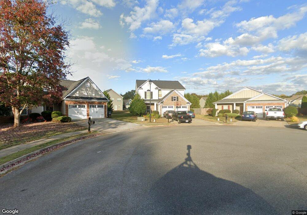
11 Barrett Ln SE Cartersville, GA 30120
Estimated Value: $329,856 - $351,000
--
Bed
1
Bath
1,930
Sq Ft
$175/Sq Ft
Est. Value
About This Home
This home is located at 11 Barrett Ln SE, Cartersville, GA 30120 and is currently estimated at $337,214, approximately $174 per square foot. 11 Barrett Ln SE is a home located in Bartow County with nearby schools including Cartersville Primary School, Cartersville Elementary School, and Cartersville Middle School.
Ownership History
Date
Name
Owned For
Owner Type
Purchase Details
Closed on
Jul 13, 2021
Sold by
Knowles Jamie
Bought by
Knowles Jamie and Knowles Zaibrian Andre
Current Estimated Value
Home Financials for this Owner
Home Financials are based on the most recent Mortgage that was taken out on this home.
Original Mortgage
$191,290
Outstanding Balance
$173,646
Interest Rate
2.93%
Mortgage Type
FHA
Estimated Equity
$163,568
Create a Home Valuation Report for This Property
The Home Valuation Report is an in-depth analysis detailing your home's value as well as a comparison with similar homes in the area
Home Values in the Area
Average Home Value in this Area
Purchase History
| Date | Buyer | Sale Price | Title Company |
|---|---|---|---|
| Knowles Jamie | -- | -- |
Source: Public Records
Mortgage History
| Date | Status | Borrower | Loan Amount |
|---|---|---|---|
| Open | Knowles Jamie | $191,290 |
Source: Public Records
Tax History Compared to Growth
Tax History
| Year | Tax Paid | Tax Assessment Tax Assessment Total Assessment is a certain percentage of the fair market value that is determined by local assessors to be the total taxable value of land and additions on the property. | Land | Improvement |
|---|---|---|---|---|
| 2024 | $3,119 | $130,668 | $26,000 | $104,668 |
| 2023 | $3,201 | $129,330 | $26,000 | $103,330 |
| 2022 | $2,624 | $102,664 | $20,000 | $82,664 |
| 2021 | $2,128 | $81,881 | $16,000 | $65,881 |
| 2020 | $1,956 | $71,092 | $11,200 | $59,892 |
| 2019 | $1,935 | $68,516 | $11,200 | $57,316 |
| 2018 | $1,888 | $66,419 | $11,200 | $55,219 |
| 2017 | $1,834 | $63,219 | $8,000 | $55,219 |
| 2016 | $1,683 | $57,240 | $8,000 | $49,240 |
| 2015 | $1,646 | $57,240 | $8,000 | $49,240 |
| 2014 | $1,375 | $47,080 | $4,000 | $43,080 |
| 2013 | -- | $41,840 | $6,800 | $35,040 |
Source: Public Records
Map
Nearby Homes
- 30 Miles Dr
- 41 Middlebrook Dr
- 37 Middlebrook Dr
- 155 Mercer Ln
- 2 Stadelman Ct
- 21 Mercer Ln
- 13 Otting Dr Unit A
- 135 Mercer Ln
- The Trenton Plan at Johnson Crossing
- 1100 Sugar Valley Rd
- 54 Stadelman Ct
- 22 Oakbrook Dr SW
- 39 Litchfield Rd
- 101 Marion Dr
- 30 Luwanda Trail
- 85 Honeysuckle Dr SW
- Aspen UHP Plan at Garland Meadows
- Cove UHP Plan at Garland Meadows
- Auroua UHP Plan at Garland Meadows
- Brooke UHP Plan at Garland Meadows
- 9 Barrett Ln SE
- 13 Barrett Ln SE
- 33 Miles Dr SE
- 37 Miles Dr SE Unit 257
- 37 Miles Dr SE
- 31 Miles Dr SE
- 7 Barrett Ln SE
- 39 Miles Dr SE
- 31 Miles Dr Unit 259
- 15 Barrett Ln SE
- 29 Miles Dr SE
- 41 Miles Dr SE
- 5 Barrett Ln SE
- 17 Barrett Ln SE
- 27 Miles Dr SE
- 4 Barrett Ln SE
- 43 Miles Dr SE
- 25 Miles Dr SE
- 18 Barrett Ln SE
- 19 Barrett Ln SE