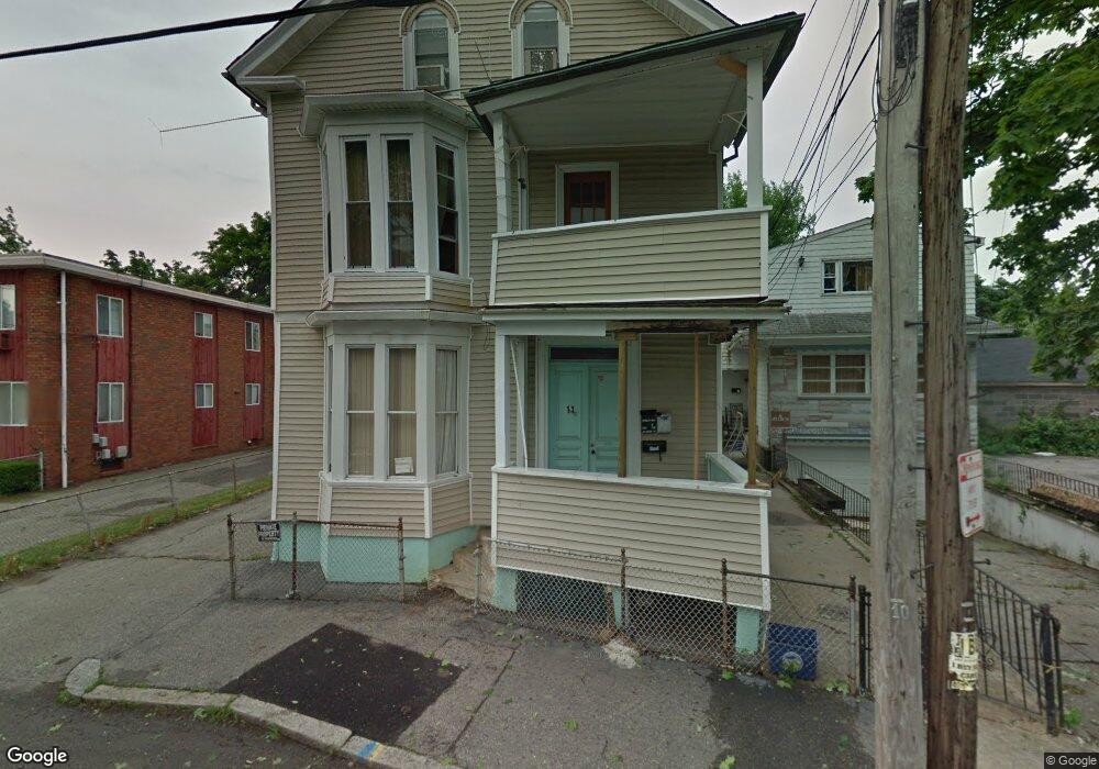
11 Barrows St Providence, RI 02909
Silver Lake NeighborhoodEstimated Value: $395,082 - $578,000
6
Beds
3
Baths
1,770
Sq Ft
$286/Sq Ft
Est. Value
About This Home
This home is located at 11 Barrows St, Providence, RI 02909 and is currently estimated at $505,771, approximately $285 per square foot. 11 Barrows St is a home located in Providence County with nearby schools including Achievement First Promesa, Achievement First Providence Mayoral Academy Elementary School, and Achievement First Providence Mayoral Academy Elementary.
Ownership History
Date
Name
Owned For
Owner Type
Purchase Details
Closed on
Jun 20, 2000
Sold by
Lay Investment Group
Bought by
Cruz Francisco
Current Estimated Value
Purchase Details
Closed on
Mar 16, 2000
Sold by
Clara Angelone
Bought by
Lay Investment Group
Create a Home Valuation Report for This Property
The Home Valuation Report is an in-depth analysis detailing your home's value as well as a comparison with similar homes in the area
Home Values in the Area
Average Home Value in this Area
Purchase History
| Date | Buyer | Sale Price | Title Company |
|---|---|---|---|
| Cruz Francisco | $92,000 | -- | |
| Cruz Francisco | $92,000 | -- | |
| Lay Investment Group | $45,000 | -- | |
| Lay Investment Group | $45,000 | -- |
Source: Public Records
Mortgage History
| Date | Status | Borrower | Loan Amount |
|---|---|---|---|
| Open | Lay Investment Group | $156,010 | |
| Closed | Lay Investment Group | $141,600 | |
| Closed | Lay Investment Group | $18,500 |
Source: Public Records
Tax History
| Year | Tax Paid | Tax Assessment Tax Assessment Total Assessment is a certain percentage of the fair market value that is determined by local assessors to be the total taxable value of land and additions on the property. | Land | Improvement |
|---|---|---|---|---|
| 2025 | $3,216 | $425,900 | $127,400 | $298,500 |
| 2024 | $5,175 | $282,000 | $71,700 | $210,300 |
| 2023 | $5,175 | $282,000 | $71,700 | $210,300 |
| 2022 | $5,020 | $282,000 | $71,700 | $210,300 |
| 2021 | $4,055 | $165,100 | $45,500 | $119,600 |
| 2020 | $4,055 | $165,100 | $45,500 | $119,600 |
| 2019 | $4,055 | $165,100 | $45,500 | $119,600 |
| 2018 | $3,749 | $117,300 | $44,100 | $73,200 |
| 2017 | $3,749 | $117,300 | $44,100 | $73,200 |
| 2016 | $3,749 | $117,300 | $44,100 | $73,200 |
| 2015 | $3,740 | $113,000 | $46,900 | $66,100 |
| 2014 | $3,814 | $113,000 | $46,900 | $66,100 |
| 2013 | $3,814 | $113,000 | $46,900 | $66,100 |
Source: Public Records
Map
Nearby Homes
- 166 Lowell Ave
- 665 Plainfield St
- 240 Eastwood Ave
- 231 Lowell Ave
- 173 Whittier Ave
- 68 Murray St
- 140 Cleveland St
- 649 Union Ave
- 27 Moorefield St
- 122 Laban St
- 36 Moorefield St Unit 38
- 11 Hillhurst Ave
- 620 Union Ave
- 27 What Cheer Ave
- 29 Dunford St
- 193 Clarence St
- 162 Merino St
- 161 Prudence Ave
- 29 Matson Ave Unit 35
- 15 Melissa St
- 7 Barrows St
- 15 Barrows St
- 15 Barrows St Unit C
- 117 Lowell Ave
- 113 Lowell Ave
- 578 Plainfield St
- 121 Lowell Ave
- 19 Barrows St
- 582 Plainfield St
- 111 Lowell Ave
- 125 Lowell Ave
- 12 Barrows St
- 566 Plainfield St
- 586 Plainfield St
- 23 Barrows St
- 584 Plainfield St
- 18 Barrows St
- 588 Plainfield St
- 564 Plainfield St
- 562 Plainfield St
Your Personal Tour Guide
Ask me questions while you tour the home.