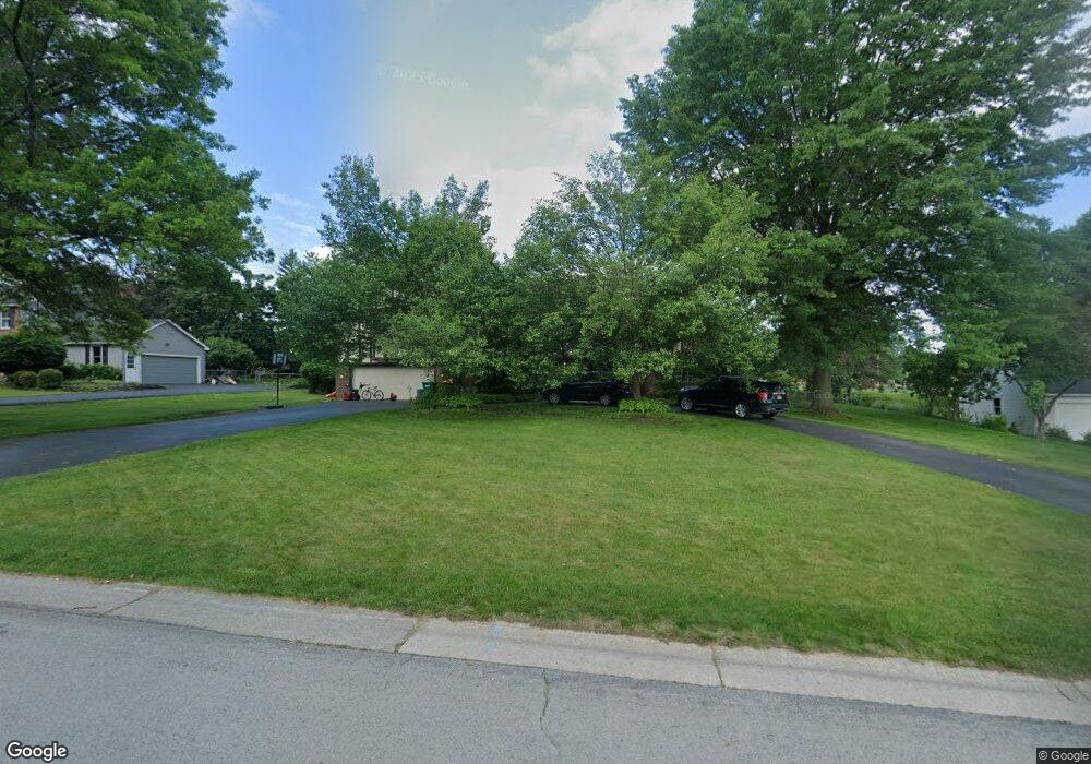
11 Bay Colony Dr Pittsford, NY 14534
Estimated Value: $662,000 - $693,000
6
Beds
4
Baths
3,559
Sq Ft
$191/Sq Ft
Est. Value
About This Home
This home is located at 11 Bay Colony Dr, Pittsford, NY 14534 and is currently estimated at $680,099, approximately $191 per square foot. 11 Bay Colony Dr is a home located in Monroe County with nearby schools including Thornell Road School, Barker Road Middle School, and Pittsford-Mendon High School.
Ownership History
Date
Name
Owned For
Owner Type
Purchase Details
Closed on
Apr 27, 2015
Sold by
Doyle Scott A and Doyle Susan A
Bought by
David Mowry and White Ann Marie
Current Estimated Value
Home Financials for this Owner
Home Financials are based on the most recent Mortgage that was taken out on this home.
Original Mortgage
$339,100
Outstanding Balance
$261,325
Interest Rate
3.69%
Mortgage Type
New Conventional
Estimated Equity
$418,774
Purchase Details
Closed on
Aug 20, 1999
Sold by
Beegen Glenda F
Bought by
Doyle Scott A
Create a Home Valuation Report for This Property
The Home Valuation Report is an in-depth analysis detailing your home's value as well as a comparison with similar homes in the area
Home Values in the Area
Average Home Value in this Area
Purchase History
| Date | Buyer | Sale Price | Title Company |
|---|---|---|---|
| David Mowry | $357,000 | Stewart Title Ins Co | |
| Doyle Scott A | $256,800 | Robin Stein |
Source: Public Records
Mortgage History
| Date | Status | Borrower | Loan Amount |
|---|---|---|---|
| Open | David Mowry | $339,100 |
Source: Public Records
Tax History Compared to Growth
Tax History
| Year | Tax Paid | Tax Assessment Tax Assessment Total Assessment is a certain percentage of the fair market value that is determined by local assessors to be the total taxable value of land and additions on the property. | Land | Improvement |
|---|---|---|---|---|
| 2024 | $14,435 | $353,000 | $58,200 | $294,800 |
| 2023 | $14,410 | $353,000 | $58,200 | $294,800 |
| 2022 | $14,418 | $353,000 | $58,200 | $294,800 |
| 2021 | $14,337 | $353,000 | $58,200 | $294,800 |
| 2020 | $14,020 | $353,000 | $58,200 | $294,800 |
| 2019 | $11,454 | $353,000 | $58,200 | $294,800 |
| 2018 | $13,667 | $353,000 | $58,200 | $294,800 |
| 2017 | $7,633 | $294,200 | $58,200 | $236,000 |
| 2016 | $11,454 | $294,200 | $58,200 | $236,000 |
| 2015 | -- | $294,200 | $58,200 | $236,000 |
| 2014 | -- | $294,200 | $58,200 | $236,000 |
Source: Public Records
Map
Nearby Homes
- 10 Muirfield Ct
- 330 Mendon Rd
- 10 Cranston Rd
- 15 Stuyvesant Rd
- 2 White Briar
- 20 Round Trail Dr
- 54 Stonington Dr
- 94 Greenwood Park
- 26 Wood Stone Rise
- 41 Old Farm Cir
- 4 Windscape Park
- 6 Stonington Dr
- 38 Greenwood Park
- 288 East St
- 343 East St
- 27 Founders Green
- 215 Mendon Rd
- 1 Walnut Grove
- 19 Lexton Way
- 10 Crestview Dr
- 15 Bay Colony Dr
- 9 Bay Colony Dr
- 17 Bay Colony Dr
- 12 Bay Colony Dr
- 7 Bay Colony Dr
- 10 Bay Colony Dr
- 18 Bay Colony Dr
- 8 Bay Colony Dr
- 21 Charter Oaks Dr
- 19 Bay Colony Dr
- 23 Charter Oaks Dr
- 3 Fenimore Dr
- 19 Charter Oaks Dr
- 27 Charter Oaks Dr
- 4 Fenimore Dr
- 20 Bay Colony Dr
- 21 Bay Colony Dr
- 29 Charter Oaks Dr
- 17 Charter Oaks Dr
- 6 Fenimore Dr