11 Bayfront Ln Blue Hill, ME 04614
Estimated Value: $1,065,757 - $1,101,000
2
Beds
1
Bath
837
Sq Ft
$1,294/Sq Ft
Est. Value
About This Home
This home is located at 11 Bayfront Ln, Blue Hill, ME 04614 and is currently estimated at $1,083,379, approximately $1,294 per square foot. 11 Bayfront Ln is a home with nearby schools including Blue Hill Consolidated School.
Ownership History
Date
Name
Owned For
Owner Type
Purchase Details
Closed on
Feb 25, 2005
Sold by
Ruth D Coates Lt and Mailloux
Bought by
Ball Daniel P and Ball Judith C
Current Estimated Value
Home Financials for this Owner
Home Financials are based on the most recent Mortgage that was taken out on this home.
Original Mortgage
$416,000
Interest Rate
4%
Mortgage Type
Commercial
Create a Home Valuation Report for This Property
The Home Valuation Report is an in-depth analysis detailing your home's value as well as a comparison with similar homes in the area
Home Values in the Area
Average Home Value in this Area
Purchase History
| Date | Buyer | Sale Price | Title Company |
|---|---|---|---|
| Ball Daniel P | -- | -- | |
| Ball Daniel P | -- | -- | |
| Ball Daniel P | -- | -- |
Source: Public Records
Mortgage History
| Date | Status | Borrower | Loan Amount |
|---|---|---|---|
| Previous Owner | Ball Daniel P | $416,000 |
Source: Public Records
Tax History Compared to Growth
Tax History
| Year | Tax Paid | Tax Assessment Tax Assessment Total Assessment is a certain percentage of the fair market value that is determined by local assessors to be the total taxable value of land and additions on the property. | Land | Improvement |
|---|---|---|---|---|
| 2024 | $8,472 | $968,200 | $595,000 | $373,200 |
| 2023 | $8,842 | $656,900 | $446,300 | $210,600 |
| 2022 | $8,277 | $656,900 | $446,300 | $210,600 |
| 2021 | $7,871 | $653,200 | $446,300 | $206,900 |
| 2020 | $1,952 | $653,200 | $446,300 | $206,900 |
| 2019 | $7,061 | $653,200 | $446,300 | $206,900 |
| 2018 | $1,876 | $653,200 | $446,300 | $206,900 |
| 2017 | $6,532 | $653,200 | $446,300 | $206,900 |
| 2016 | $6,336 | $653,200 | $446,300 | $206,900 |
| 2015 | $6,532 | $653,200 | $446,300 | $206,900 |
| 2014 | $5,748 | $653,200 | $446,300 | $206,900 |
| 2013 | $5,487 | $653,200 | $446,300 | $206,900 |
Source: Public Records
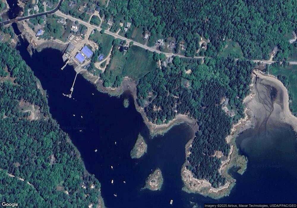
Map
Nearby Homes
- 31 Windswept Ln
- 541 E Blue Hill Rd
- 61 Gerards Trail
- 9 Spruce Needle Ln
- 020-078 Blue Hill
- 67 Parker Ln
- Lot 3 Bear Springs Ln
- 005 Newbury Neck Rd
- 341 Ellsworth Rd
- 125 Ellsworth Rd
- 31 Daybreak Ln
- 12 Turkey Farm Rd
- 20 Turkey Farm Rd
- 492 Parker Point Rd
- 00 Pine Hill Ln
- 0 Pine Hill Ln
- 232 South St
- 25 Southside Ln
- Lot 003-B Long Island
- 141 South St
- 43 Curtis Cove Rd
- 44 Curtis Cove Rd
- 48 Curtis Cove Rd
- 25 Curtis Cove Rd
- 56 Curtis Cove Rd
- 38 Curtis Cove Rd
- 26 Curtis Cove Rd
- 67 Curtis Cove Rd
- 34 Bayfront Ln
- 13 School House Ln
- 7 Curtis Cove Rd
- 10 Curtis Cove Rd
- 116 York Rd
- 3 Curtis Cove Rd
- 1 Curtis Cove Rd
- 2 Curtis Cove Rd
- 11 Channel Rocks Way
- 1280 Morgan Bay Rd
- 830 E Blue Hill Rd
- 821 E Blue Hill Rd